On the Trail
This strenuous, out-and-back hike gains 2,368 feet in elevation on its way from Multnomah Falls to the summit of Devil’s Rest. There are many waterfalls along Multnomah Creek, and great Gorge views from the cliff tops. The total distance is 8.4 miles.
Permits & Pets
Timed use permits are required at the I-84, Exit 31 parking lot from 9 a.m.-6 p.m. May 26-Sept. 4. Timed entry offers a one-hour time slot for arrival, but visitors may stay as long as desired.
Obtain timed use permit: via Rec.gov (can reserve up to two weeks prior) or U.S. Forest Service.
The U.S. Forest Service administers this site. No permits are required. Dogs must be on leash.
Trail Notes
- From Multnomah Falls Lodge, walk to the overlook below the lower tier of Multnomah Falls, which drops 69 feet. Then follow the paved trail (Larch Mountain Trail/Trail 441) up to the Benson Bridge.
- Beyond the bridge, the trail switchbacks steeply uphill. In 1.1 miles, turn right onto a spur trail leading to a wooden overlook that’s thrillingly close to where the upper falls begin their 542-foot drop. (The total drop is 620 feet: 69 in the lower falls, 9 feet between the falls, and 542 feet for the upper falls.)
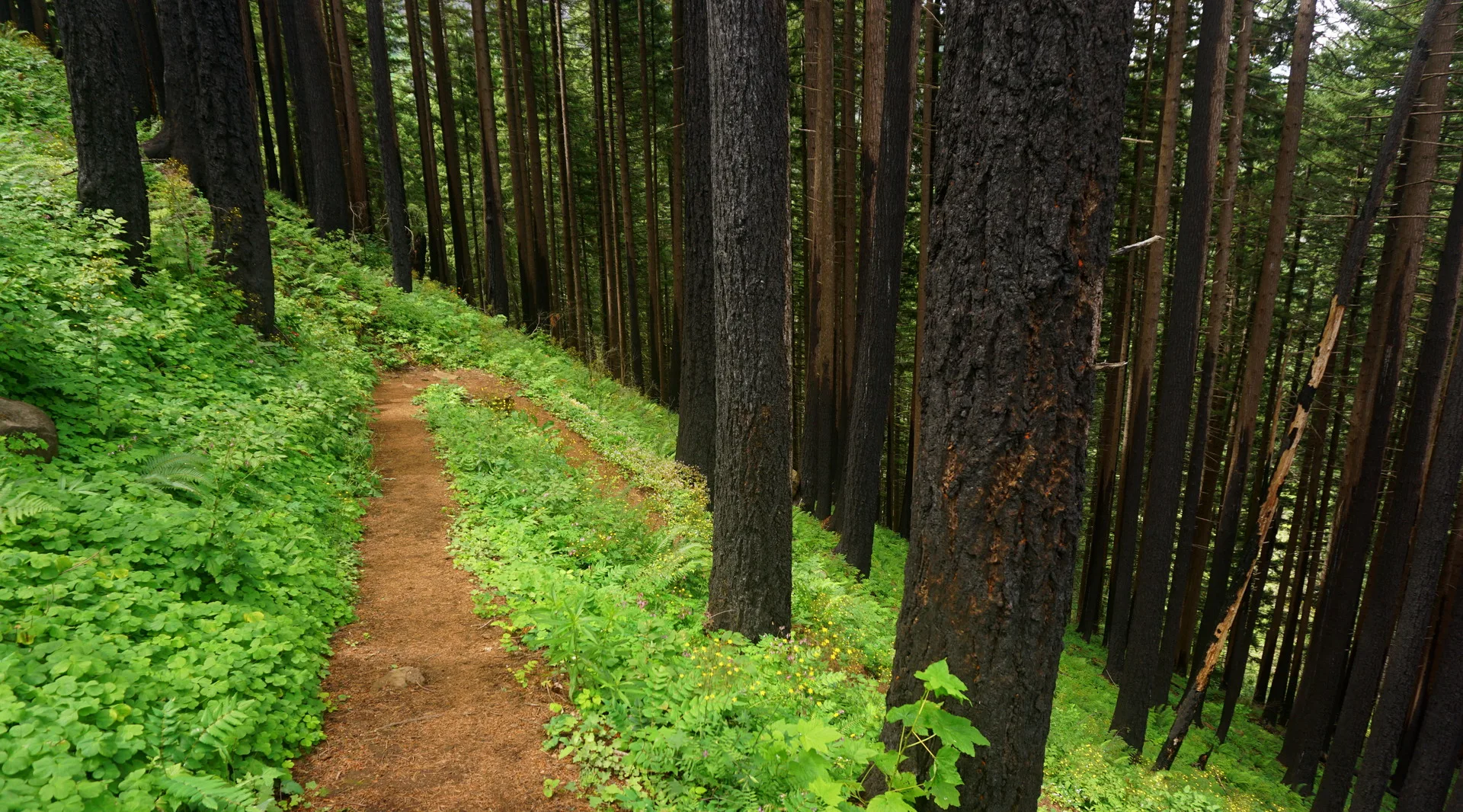
- From the falls overlook, come back to Trail 441 and turn right. Immediately cross a bridge over Multnomah Creek and follow the trail along the creek’s west bank, passing a series of small waterfalls.
- At a signed intersection with the Wahkeena Trail (Trail 420), turn right. The trail climbs gradually and in about 0.7 mile intersects with the Devil’s Rest Trail (Trail 420C). Turn left onto it and head steeply uphill for about 0.6 mile.
- At the top of the ridge the trail flattens, proceeding west with occasional views of the Gorge and, on clear days, the top of Mount Adams. There are a few places to step out onto a rocky ledge for better views; one of the best, about 0.2 mile before the Devil’s Rest summit, requires following a little side trail through brush to an overlook that’s obscured from the main trail.
- After the overlooks, the trail curves away from the ledge, coming up to Devil’s Rest from behind. Just before the summit, you’ll come to a “Y” intersection where you’ll find small signs nailed to trees for the Foxglove Trail and the route to Angel’s Rest. Stay right here (heading north) and continue up the trail about 50 feet to a rocky outcrop among the trees. This is where the trail ends and is the summit with its survey marker. Befitting its name, Devil’s Rest is a more somber destination than its sunny sister, Angel’s Rest, to the west, but finding your way to the top is still rewarding.
- To complete the hike, retrace the route to the start.
- Please always stay on the trail and clean your boots before and after you hike. Hikers are a common vector for spreading invasive seeds.
- Restrooms are available in Multnomah Falls Lodge’s lower level.
Friends of the Columbia Gorge does not track trail closures. If you are planning a hike in the Gorge, please check other sources in advance for the latest updates, including the U.S Forest Service, Ready Set GOrge, and AllTrails. Recreational activities in the Gorge can involve risk of injury, death, property damage, and other dangers. Friends does not assume responsibility for any such outcome resulting from the use of the information on our hiking web pages. Your use of these web pages is strictly at your own risk.
Post-Hike Explorations
Depending on the direction of travel, brewpubs in Cascade Locks (14 miles east of Multnomah Falls) or Troutdale (18 miles west) are the nearest end-of-day places to refuel and review the day’s photos.
Other Hikes from This Trailhead
- Multnomah Falls
- Multnomah Falls to Franklin Ridge Loop
- Multnomah Falls to Larch Mountain
- Multnomah Falls to Wahkeena Falls Loop
Directions & Travel Tips
East- or westbound I-84, get in the left lane to take exit 31/Multnomah Falls. Park in the large lot between I-84’s east- and westbound lanes, and walk under the freeway and on the paved walkway along Multnomah Creek to Multnomah Falls Lodge. Restrooms are in its lower level. (View current parking lot capacity.)
To approach Multnomah Falls from the Historic Columbia River Highway (not recommended during busy seasons, as traffic can slow to a crawl), if westbound on I-84, take exit 35/Ainsworth and drive 4 miles west on the Historic Highway to the lodge. Parking is very limited along the Historic Highway. Eastbound on I-84, take exit 28/Bridal Veil and drive 3 miles east on the Historic Highway to Multnomah Falls.
Car-Free Travel
The Columbia Gorge Express shuttle stops at this location. Click here for schedule and fare information.