On the Trail
This challenging loop climbs steeply past many waterfalls in the Multnomah Creek watershed, crosses Franklin Ridge, and then descends past more waterfalls along beautiful Oneonta Creek. Mileage is 11 miles, with 3,400 feet of elevation gain (and loss).
Permits & Pets
The U.S. Forest Service administers this site. No permits are required. Dogs must be on leash.
Timed use permits are required at the I-84, Exit 31 parking lot from 9 a.m.-6 p.m. May 26-Sept. 4. Timed entry offers a one-hour time slot for arrival, but visitors may stay as long as desired.
Obtain timed use permit: via Rec.gov (can reserve up to two weeks prior) or U.S. Forest Service.
Trail Notes
- From Multnomah Falls Lodge, walk to the overlook below the lower tier of Multnomah Falls, which drops 69 feet. Then follow the paved trail (Larch Mountain Trail/Trail 441) up to the Benson Bridge.
- Beyond the bridge, the trail switchbacks steeply uphill. In 1.1 miles, turn right onto a spur trail that leads to a wooden overlook at the top of the upper falls. (The total drop is 620 feet: 69 in the lower falls, 9 feet between the falls, and 542 feet for the upper falls.)
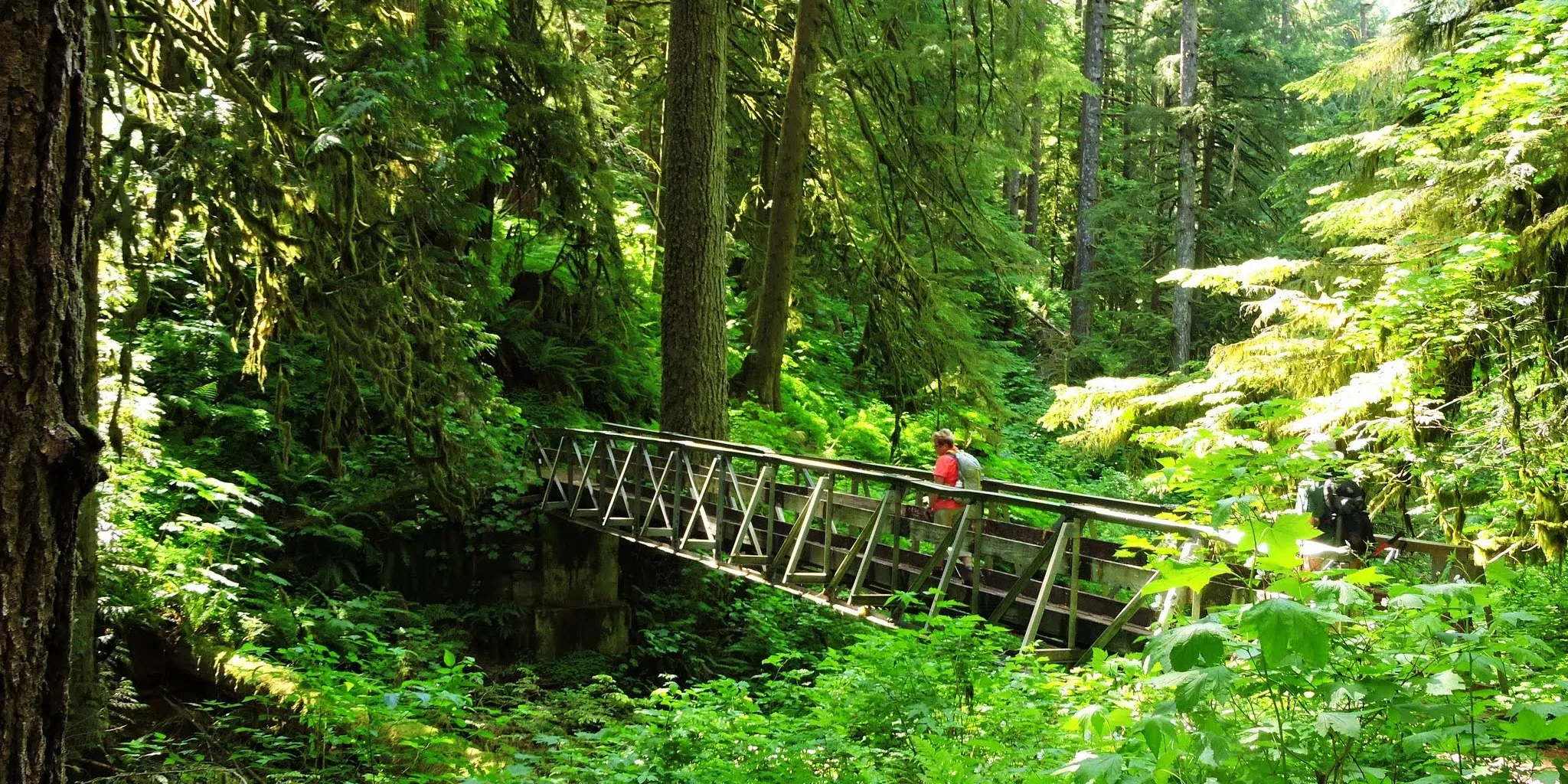
- From the falls overlook, come back to Trail 441 and turn right, leaving most of the crowds at Multnomah Falls behind. Immediately cross a bridge over Multnomah Creek. Walk the creek’s west bank, passing a series of small waterfalls. Cross back over the creek to the east bank and continue on Trail 441.
- At 2.7 miles from the start, turn left onto the Franklin Ridge Trail (Trail 427). Keep on it 4 miles, and then turn left onto Oneonta Trail (Trail 424). Follow it past Triple Falls and Upper Oneonta Falls.
- At Lower Oneonta Falls (mile 8.5 of this loop), either keep left to walk Gorge Trail 400 back west to the start, for a total of 11 miles and 3,400 feet of elevation gain (and loss). Or, at Lower Oneonta Falls, go right on Horsetail Falls Trail (Trail 438). Pass Ponytail and Horsetail Falls, and end the hike at the Historic Highway, for a total of 9.7 miles and 3,400 feet of gain (and loss). This one-way option works if you have a car shuttle.
- Please always stay on the trail and clean your boots before and after you hike. Hikers are a common vector for spreading invasive seeds.
- Restrooms are available in Multnomah Falls Lodge’s lower level.
Friends of the Columbia Gorge does not track trail closures. If you are planning a hike in the Gorge, please check other sources in advance for the latest updates, including the U.S Forest Service, Ready Set GOrge, and AllTrails. Recreational activities in the Gorge can involve risk of injury, death, property damage, and other dangers. Friends does not assume responsibility for any such outcome resulting from the use of the information on our hiking web pages. Your use of these web pages is strictly at your own risk.
Post-Hike Explorations
Depending on the direction of travel, brewpubs in Cascade Locks (14 miles east of Multnomah Falls) or Troutdale (18 miles west) are the nearest end-of-day places to refuel and review the day’s photos.
Other Hikes from This Trailhead
- Multnomah Falls
- Multnomah Falls to Devil’s Rest
- Multnomah Falls to Larch Mountain
- Multnomah Falls to Wahkeena Falls Loop
Directions & Travel Tips
East- or westbound I-84, get in the left lane to take exit 31/Multnomah Falls. Park in the large lot between I-84’s east- and westbound lanes, and walk under the freeway and on the paved walkway along Multnomah Creek to Multnomah Falls Lodge. Restrooms are in its lower level. (View current parking lot capacity.)
To approach Multnomah Falls from the Historic Columbia River Highway (not recommended during busy seasons, as traffic can slow to a crawl), if westbound on I-84, take exit 35/Ainsworth and drive 4 miles west on the Historic Highway to the lodge. Parking is very limited along the Historic Highway. Eastbound on I-84, take exit 28/Bridal Veil and drive 3 miles east on the Historic Highway to Multnomah Falls.
Car-Free Travel
The Columbia Gorge Express shuttle stops at this location. Click here for schedule and fare information.