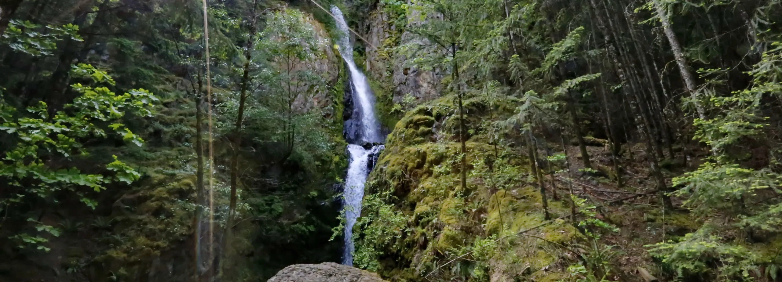
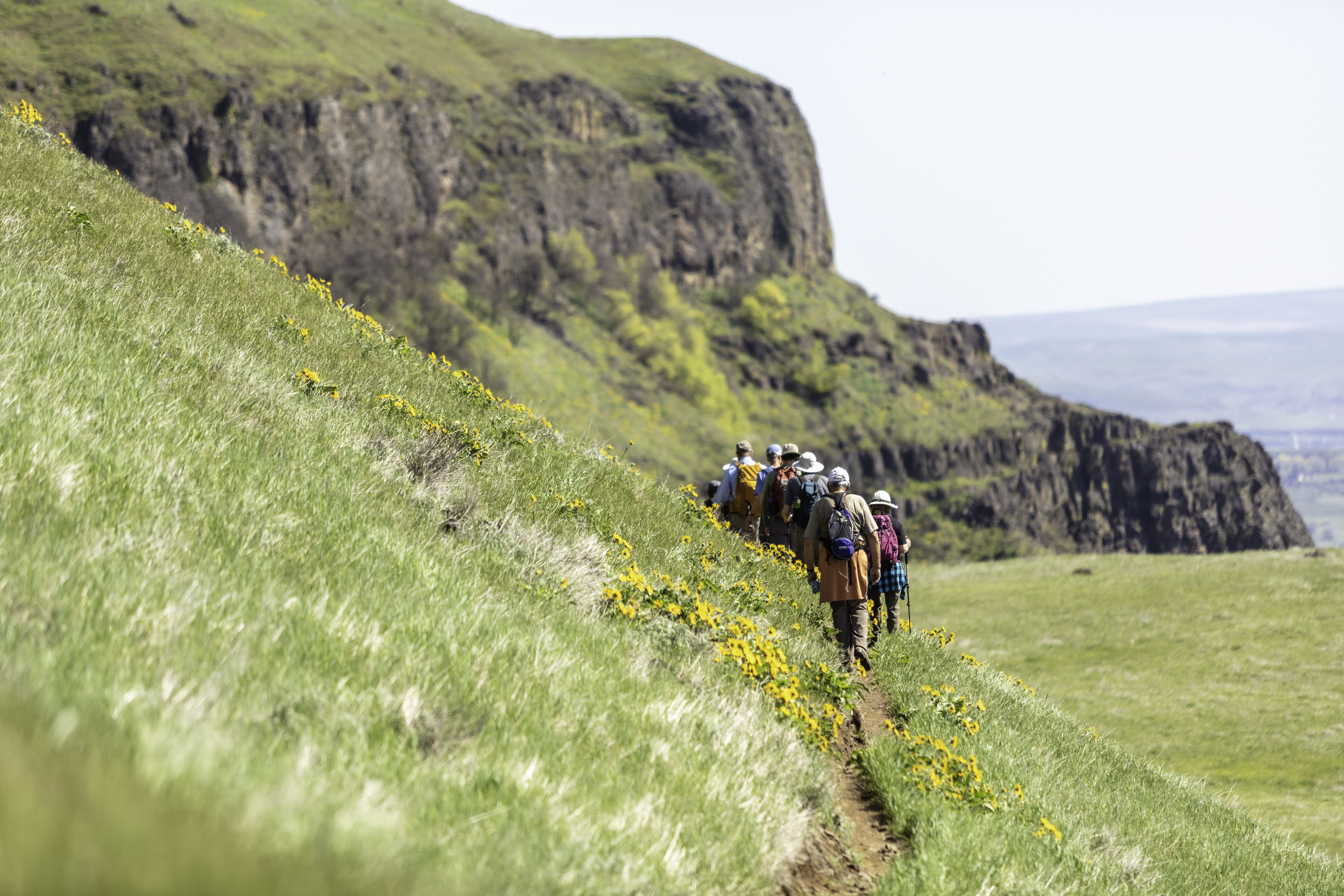
This new section of Historic Highway State Trail boasts views of three waterfalls in 1.2 miles! While these falls have always been accessible to hikers; now, for the first time, they are accessible from a paved, well-graded universal trail. The hike to Hole-in-the-Wall Falls is a westward out-and-back hike or bicycle ride. As it parallels I-84 you’ll enjoy a splendid view of the falls from an overlook and picnicking area. The trail continues on to Lancaster Falls, named for the Columbia River Highway’s designer and engineer, Samuel Lancaster.
In 1938, Warren Falls was decidedly threatening to wash out the Columbia River Highway, so a tunnel was blasted through the adjacent cliff, and the creek was diverted through – creating Hole-In-the-Wall Falls. Learn more by watching an OPB film on Warren Falls.
There are four waterfalls awaiting you in about a 1-mile stretch. From east to west, they are:
Distance from Starvation Creek Trailhead (approximate)
- Starvation Creek Falls (0.1 miles east)
- Cabin Creek Falls (0.3 miles west)
- Hole-in-the-Wall Falls (0.6 miles west)
- Lancaster Falls (0.8 miles west)
– Courtesy of Oregon State Parks
Other hikes leading from Starvation Creek Trailhead include:
- Lancaster Falls
- Mt. Defiance
- Starvation Creek Falls
- Starvation Creek Ridge Loop
- Starvation Creek to Warren Lake
– Hike descriptions were collaboratively written with the generous support of oregonhikers.org.
Friends of the Columbia Gorge does not track trail closures. If you are planning a hike in the Gorge, please check other sources in advance for the latest updates, including the U.S Forest Service, Ready Set GOrge, and AllTrails. Recreational activities in the Gorge can involve risk of injury, death, property damage, and other dangers. Friends does not assume responsibility for any such outcome resulting from the use of the information on our hiking web pages. Your use of these web pages is strictly at your own risk.
Directions & Travel Tips
Starvation Creek Trailhead: Traveling east on I-84, take Exit #55/Starvation Creek State Park and Rest Area (eastbound exit only). Traveling west on I-84, you’ll continue past Exit #55 to Exit #51/Wyeth and come back east. The Starvation Ridge and Mt. Defiance trails begin at the west end of the parking lot by walking alongside the freeway. Starvation Creek Falls is east of the restrooms.


