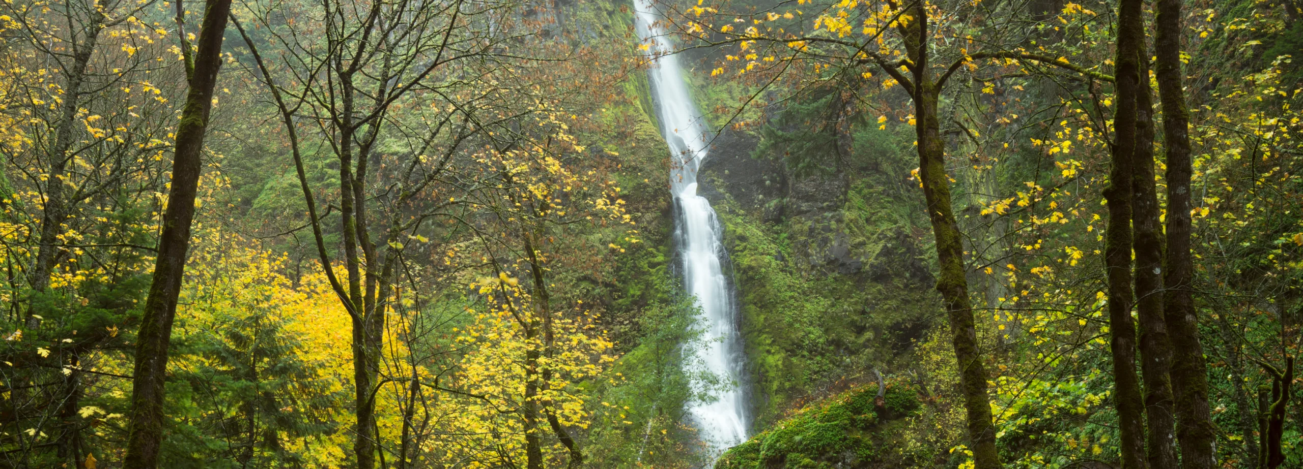
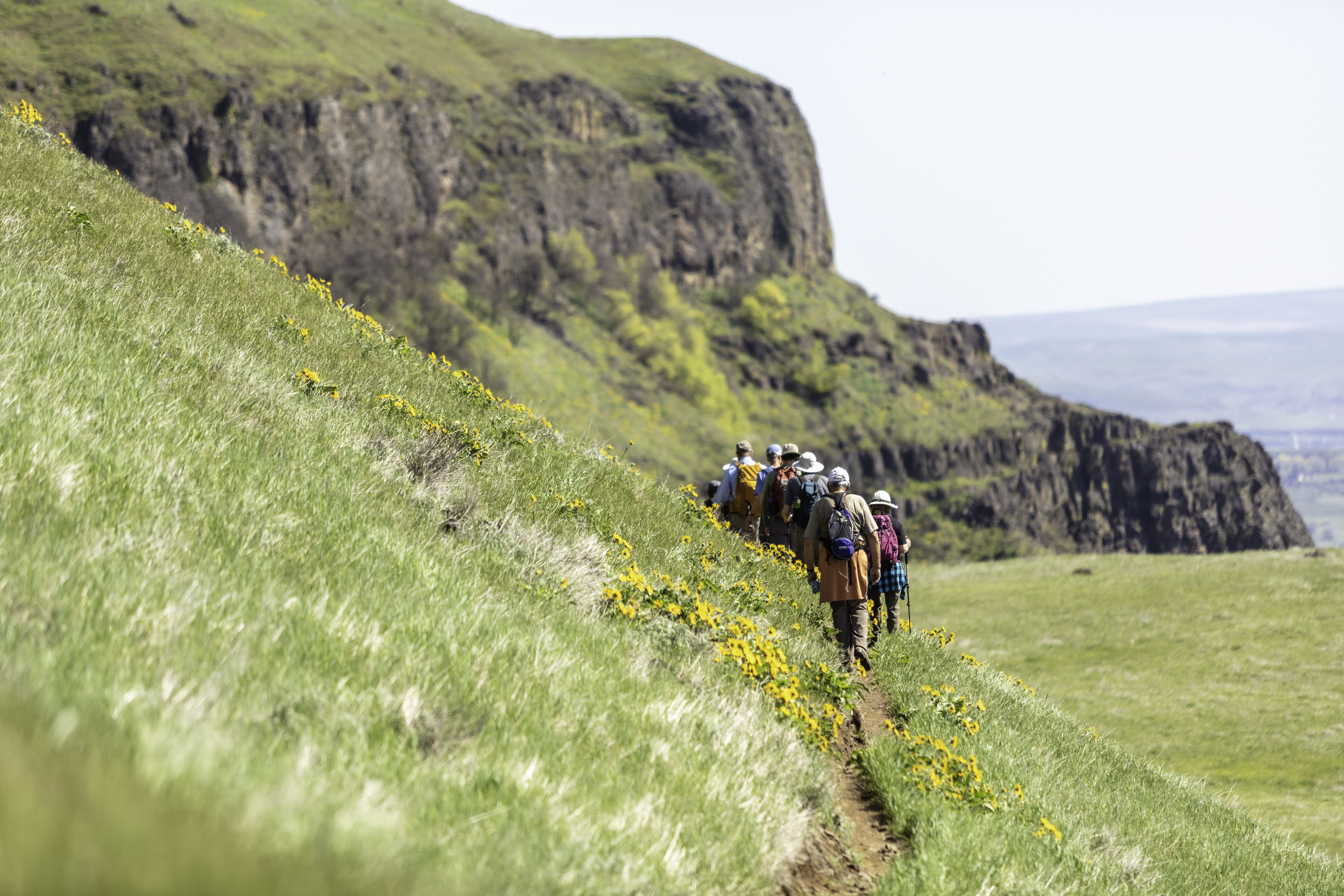
Oftentimes overlooked, this 190-ft two-tiered Starvation Creek waterfall is quite impressive, tucked away behind the more-popular rest area. It’s directly off I-84, making for a quick stop to take in a bit of history and beauty. Follow the path and signs to the waterfall and a couple of creek-side picnic tables at the base of the falls. Make sure to read the informational panels sharing the story of the waterfall’s name. You can continue on the paved Historic Columbia River Highway State Trail for another mile to the east taking you to Viento State Park. This area is also the trailhead for many other hikes including: Starvation Ridge Loop and Mt. Defiance—leading you past many more mysterious and stunning waterfalls.
Friends of the Columbia Gorge does not track trail closures. If you are planning a hike in the Gorge, please check other sources in advance for the latest updates, including the U.S Forest Service, Ready Set GOrge, and AllTrails. Recreational activities in the Gorge can involve risk of injury, death, property damage, and other dangers. Friends does not assume responsibility for any such outcome resulting from the use of the information on our hiking web pages. Your use of these web pages is strictly at your own risk.
Directions & Travel Tips
Starvation Creek Trailhead: Traveling east on I-84, take Exit #55/Starvation Creek State Park and Rest Area (eastbound exit only). Traveling west on I-84, you’ll continue past Exit #55 to Exit #51/Wyeth and come back east. The Starvation Ridge and Mt. Defiance trails begin at the west end of the parking lot by walking alongside the freeway. Starvation Creek Falls is east of the restrooms.


