On the Trail
The Herman Creek trailhead is one of the best starting points in the Gorge, because it’s less crowded than other trailheads, with many out-and-back and loop options. This 12.5-mile loop tops off at Nick Eaton Ridge and gains and loses 4,600 feet in elevation.
Permits & Pets
This site is managed by the U.S. Forest Service. A Northwest Forest Pass is required and can be purchased here. Dogs must be on leash. Sections of the trail are within the Mark O. Hatfield Wilderness. Wilderness restrictions apply.
Trail Notes
- From the Herman Creek trailhead, begin hiking the Herman Creek Trail (Trail 406). At 0.6 mile, keep left on Trail 406 where the Herman Creek Bridge Trail (Trail 406E) forks off to the right. The Herman Creek Trail turns into a shaded, mostly smooth logging road; keep to the main trail, ignoring side trails or overgrown logging roads. Herman Creek can be heard far below.
- In another 0.7 mile, Gorge Trail 400 and Gorton Creek Trail (Trail 408) come in on the left at Herman Camp. Turn left onto the Gorton Creek Trail. It gently climbs in the trees, crossing three seasonal streams.
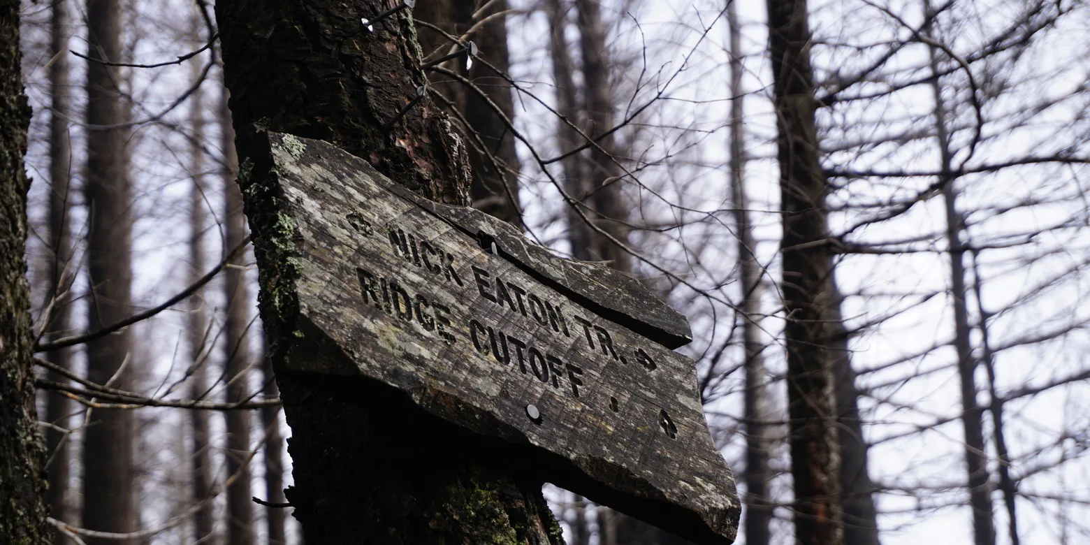
- In 2.5 miles from Herman Camp, come to the Ridge Cutoff Trail (Trail 437) on the right. A user-created trail to Indian Point is not recommended. It travels a knife-edged ridgeline on loose rock, with very steep drops on both sides. Strong winds here are another hazard.
- From the trail junction, continue on the Gorton Creek Trail another 0.9 mile to a junction with the Deadwood Trail (Trail 422).
- Just beyond it, cross Grays Creek and come to Deadwood Camp, a perfect spot for lunch, sheltered in the trees from the wind, and with a year-round stream.
- Continuing on the Gorton Creek Trail, climb steeply to the 4,300-foot level; snows on this northeast-facing slope are the last to melt.
- In 2.5 miles from the Deadwood Trail junction, come to the junction with the Nick Eaton Trail (Trail 447), and a nice view. Ridge Camp is another 0.2 mile farther on the Gorton Creek Trail — which is on the north end of a plateau that features North Lake, Rainy Lake, and a good look at Green Point Mountain.
- To return, from the Gorton Creek and Nick Eaton trail junction, take a right on the Nick Eaton Trail. At this point, you’ve hiked 7.9 miles with 4,357 feet of gain.
- Walking along the crest of Nick Eaton Ridge, come to a hanging meadow with stunning views of Bonneville Dam, Beacon Rock, and Mount Hood.
- From the meadow, the trail starts losing elevation fast: From the Gorton Creek Trail junction, it drops 3,200 feet in 4 miles to the junction with the Herman Creek Trail. There, turn right and follow the Herman Creek Trail 1.5 more downhill miles back to the start.
- Please always stay on the trail and clean your boots before and after you hike. Hikers are a common vector for spreading invasive seeds.
- Restrooms are at the trailhead.
Friends of the Columbia Gorge does not track trail closures. If you are planning a hike in the Gorge, please check other sources in advance for the latest updates, including the U.S Forest Service, Ready Set GOrge, and AllTrails. Recreational activities in the Gorge can involve risk of injury, death, property damage, and other dangers. Friends does not assume responsibility for any such outcome resulting from the use of the information on our hiking web pages. Your use of these web pages is strictly at your own risk.
Post-Hike Explorations
Find brewpubs and restaurants by retracing the drive from the trailhead into Cascade Locks. Ice cream, beer, pizza, salmon chowder, and other hearty fare await along WaNaPa Street. On the riverfront is a brewpub and cafe at the Port of Cascade Locks Visitor Center at Marine Park.
Other Hikes from This Trailhead
Directions & Travel Tips
Eastbound I-84: Take exit 44/Cascade Locks, and head straight (east) on WaNaPa Street through town for 1.4 miles, cross under I-84, and turn left on Frontage Road. Drive 1.7 miles and turn right on Herman Creek Road.
Westbound I-84: Take exit 44/Cascade Locks, and immediately turn left, passing under I-84. Turn left on Frontage Road and drive 1.7 miles to Herman Creek Road. Turn right.
In winter, the gate may be closed. If so, park along Frontage Road and walk the paved road 0.4 mile to the trailhead. If the road is open, follow it to the Herman Creek trailhead, on the right. Park here or along the road by the campground. Restrooms are at the trailhead.