On the Trail
Permits & Pets
A Northwest Forest Pass is required and can be purchased here.
Dogs must be leashed at all times.
Parts of this trail are within the Mark O. Hatfield Wilderness area. Wilderness restrictions may apply.
Trail Notes
- From the Herman Creek Trailhead, ascend the Herman Creek Trail (Trail 406) through a power line clearing to the Herman Creek Bridge Trail (Trail 406E). Turn right on Trail 406E, follow it to the bridge, and climb 500 feet to a junction with the Pacific Crest Trail. Turn left.
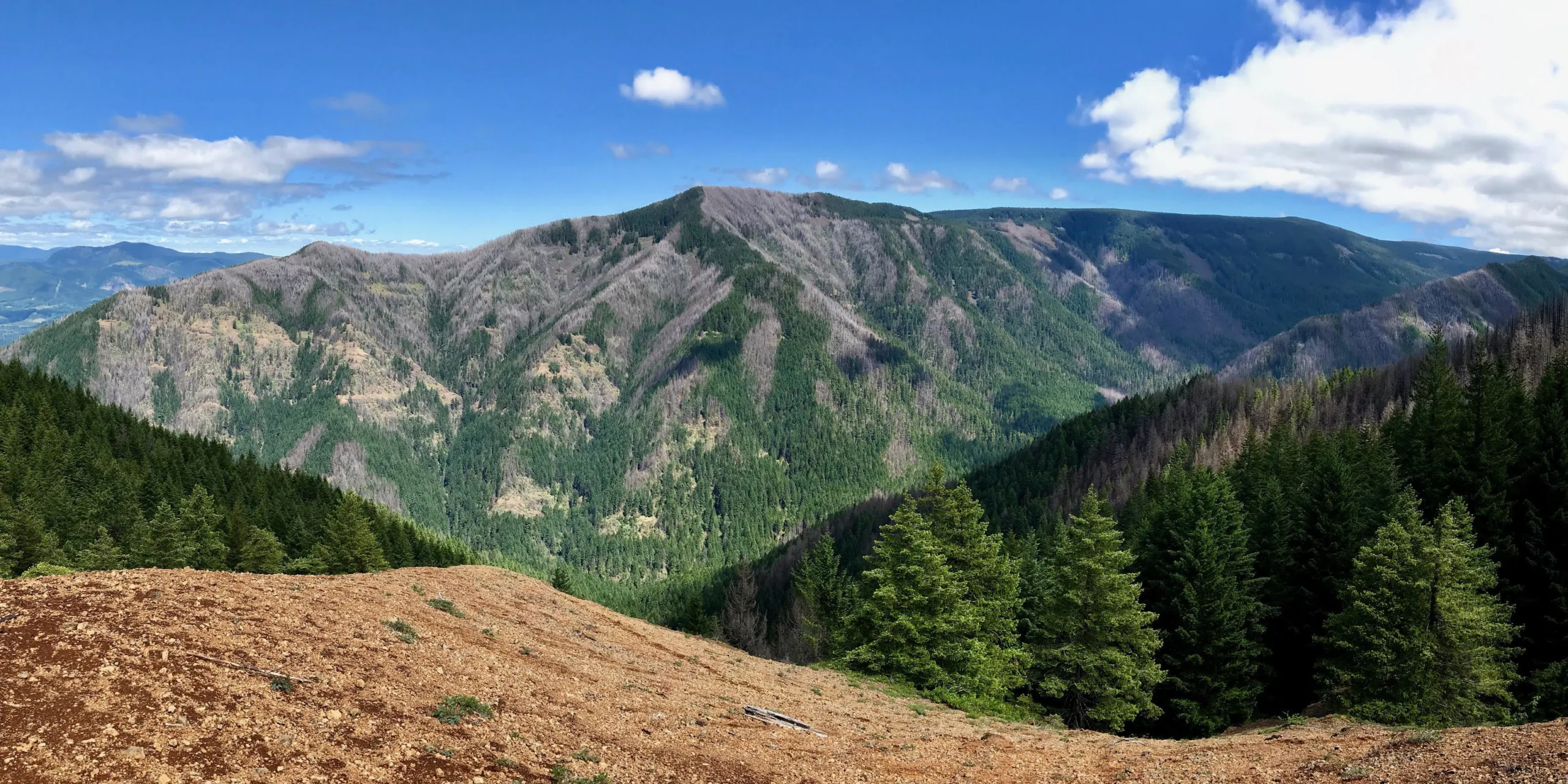
- On the PCT, climb from 960 feet to about 3,700 feet in the first 2.7 miles. At the 2,000-foot level, enter the Hatfield Wilderness area. Shortly thereafter, the PCT flattens out at Benson Plateau. Continue south on the PCT another 1.5 miles, and pass a junction with the Benson Way Trail (Trail 405B).
- At the Benson Ruckel Trail (Trail 405A), turn right. Follow Trail 405A approximately 1 mile to the Ruckel Creek Trail (Trail 405) and turn left. Follow the Ruckel Creek Trail (Trail 405) about 0.5 mile across the upper reaches of Ruckel Creek to a junction with the Benson Spur Trail (Trail 405C) and turn right. Head south on the Benson Spur Trail to the Benson Way Trail (Trail 405B) and turn right. You’ll be heading north on Trail 405B as it skirts the west side of the plateau and offers views of Larch Mountain.
- Follow Trail 405B for 2.3 miles, crossing the Ruckel Creek Trail at Hunter’s Camp and continuing on to the PCT. At the PCT, turn left for an easy trek back downhill.
- Please always stay on the trail and clean your boots before and after you hike. Hikers and their dogs are common vectors for spreading invasive seeds.
- Restrooms are at the trailhead.
History
Unlike many “Benson” place names in Western Oregon, this one was not named for the lumberman and philanthropist Simon Benson. Thomas C. Benson ran stock, perhaps on Benson Plateau, and lived for a time in Cascade Locks. He was active in Portland’s Union Stockyards, and died in 1930.
Friends of the Columbia Gorge does not track trail closures. If you are planning a hike in the Gorge, please check other sources in advance for the latest updates, including the U.S Forest Service, Ready Set GOrge, and AllTrails. Recreational activities in the Gorge can involve risk of injury, death, property damage, and other dangers. Friends does not assume responsibility for any such outcome resulting from the use of the information on our hiking web pages. Your use of these web pages is strictly at your own risk.
Post-Hike Explorations
After this long hike, food and hydration are what’s next. Find brewpubs and restaurants by retracing the drive from the trailhead into Cascade Locks. Ice cream, beer, pizza, salmon chowder, and other hearty fare await along WaNaPa Street. On the riverfront is a brewpub and cafe at the Port of Cascade Locks Visitor Center at Marine Park.
Directions & Travel Tips
Eastbound I-84, take exit 44/Cascade Locks, and head straight (east) on WaNaPa Street through town for 1.4 miles, cross under I-84, and turn left on Frontage Road. Drive 1.7 miles and turn right on Herman Creek Road to get to the Herman Creek Trailhead.
Westbound I-84, take exit 44/Cascade Locks, and immediately turn left, passing under I-84. Turn left on Frontage Road and drive 1.7 miles to Herman Creek Road. Turn right and park at the Herman Creek Trailhead.
In winter, the gate may be closed. If so, park along Frontage Road (make sure not to park on or over the white line) and walk the paved road 0.4 mile to the trailhead. If the road is open, follow it to its end and park here.