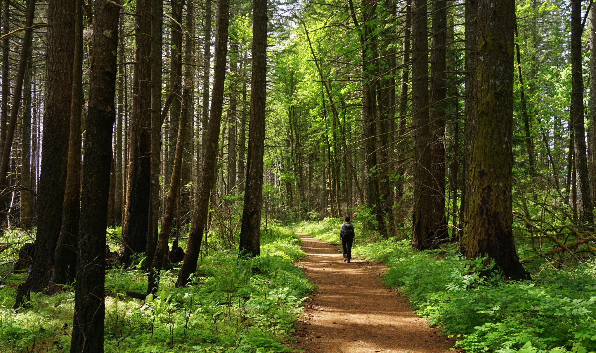
On the Trail
This 7.6-mile loop through forest leads to a stunning view of Indian Point, a steep rock promontory overlooking the Central Gorge. Total gain (and loss) is 2,800 feet.
Permits & Pets
This site is managed by the U.S. Forest Service. A Northwest Forest Pass is required and can be purchased here. Dogs must be on leash.
Trail Notes
- From the Herman Creek trailhead, begin hiking the Herman Creek Trail (Trail 406). At 0.6 mile, keep left on Trail 406 where the Herman Creek Bridge Trail (Trail 406E) forks off to the right. The Herman Creek Trail turns into a shaded, mostly smooth logging road; keep to the main trail, ignoring side trails or overgrown logging roads. Herman Creek can be heard far below.
- In another 0.7 mile, Gorge Trail 400 and Gorton Creek Trail (Trail 408) come in on the left. Turn left onto the Gorton Creek Trail. In 2.5 miles, come to the Ridge Cutoff Trail (Trail 437) on the right. Please Note: Following the unofficial path/trail to the point can be dangerous and is not encouraged. It travels a knife-edged ridgeline on loose rock, with very steep drops on both sides. Strong winds here are another hazard.
- From the trail junction, turn right onto the Ridge Cutoff Trail. Hike 0.5 mile and turn right onto the Nick Eaton Trail (Trail 447). Hike 1.6 miles to the junction with the Herman Creek Trail. Turn right and follow it back to the start.
- Please always stay on the trail and clean your boots before and after you hike. Hikers are a common vector for spreading invasive seeds.
- Restrooms are located at the trailhead.
Friends of the Columbia Gorge does not track trail closures. If you are planning a hike in the Gorge, please check other sources in advance for the latest updates, including the U.S Forest Service, Ready Set GOrge, and AllTrails. Recreational activities in the Gorge can involve risk of injury, death, property damage, and other dangers. Friends does not assume responsibility for any such outcome resulting from the use of the information on our hiking web pages. Your use of these web pages is strictly at your own risk.
Post-Hike Explorations
Find brewpubs and restaurants by retracing the drive from the trailhead into Cascade Locks. Ice cream, beer, pizza, salmon chowder, and other hearty fare await along WaNaPa Street. On the riverfront is a brewpub and cafe at the Port of Cascade Locks Visitor Center at Marine Park.
Directions & Travel Tips
Eastbound I-84: Take exit 44/Cascade Locks, and head straight (east) on WaNaPa Street through town for 1.4 miles, cross under I-84, and turn left on Frontage Road. Drive 1.7 miles and turn right on Herman Creek Road.
Westbound I-84: Take exit 44/Cascade Locks, and immediately turn left, passing under I-84. Turn left on Frontage Road and drive 1.7 miles to Herman Creek Road. Turn right.
In winter, the gate may be closed. If so, park along Frontage Road and walk the paved road 0.4 mile to the trailhead. If the road is open, follow it to the Herman Creek trailhead, on the right. Park here or along the road by the campground. Restrooms are located at the trailhead.