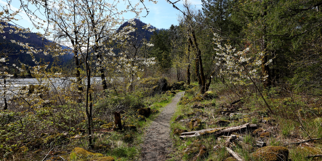
On the Trail
This easy 1.5-mile loop downstream of Bonneville Dam is on flat ground next to the river. You’ll walk the site of an ancient portage controlled by Native Americans, in an area that later became a U.S. Army fort, the town of Cascades (1850¬–1894), and a fish cannery.
Permits & Pets
This site is managed by the U.S. Army Corps of Engineers. No permits are required. Dogs must be on leash.
Trail Notes
- You may want to download the Fort Cascades Trail Guide, which offers excellent information about the sites encountered on the loop. There may be guides at the trailhead, as well.
- Stay on the trail to avoid poison oak, common in this area.
- Please always stay on the trail and clean your boots before and after you hike. Hikers and their dogs are common vectors for spreading invasive seeds.
- Restrooms are at the trailhead, at the end of the parking lot.
History
When the Table Mountain Slide occurred in late prehistoric times, it created the cascades of the Columbia River and ensured that people frequented this area. Native Americans used the cascades as a fishing area for millennia and became trading partners with later European and early American travelers. Lewis and Clark mention an Indian Village on this site.
In 1855, the U.S. Army claimed land in the area and built Fort Cascades, one of several forts it used to control the portage route. The fort was burned in 1856, then rebuilt, and eventually abandoned in 1861, as the Army marshaled its resources for the Civil War. The town site was abandoned after the great flood of 1894 washed all the buildings away.
Friends of the Columbia Gorge does not track trail closures. If you are planning a hike in the Gorge, please check other sources in advance for the latest updates, including the U.S Forest Service, Ready Set GOrge, and AllTrails. Recreational activities in the Gorge can involve risk of injury, death, property damage, and other dangers. Friends does not assume responsibility for any such outcome resulting from the use of the information on our hiking web pages. Your use of these web pages is strictly at your own risk.
Post-Hike Explorations
Bonneville Lock and Dam Washington Shore Visitor Complex is nearby. There, take a powerhouse tour, watch the fish race up the ladders, and look for sea lions fishing for dinner along the river, just below the dam. To get there, go back to the T intersection and stay straight, along the river. The road leads in 1.3 miles to the parking area for the dam. Don’t miss exploring from a second parking area to the east of the first area. Its beautifully planted perimeter has a short trail with great views; below, along the river’s banks are traditional fishing platforms used by Native Americans.
Additional Hikes at or Near this Trailhead
- Bonneville Heritage Trails
- Sams Walker Loop
- Strawberry Island Loop
Directions & Travel Tips
On SR 14, near milepost 38 in North Bonneville, turn onto Dam Access Road. At the T in the road, turn right, then take the first left into the parking area for the Fort Cascades National Historic Site.