On the Trail
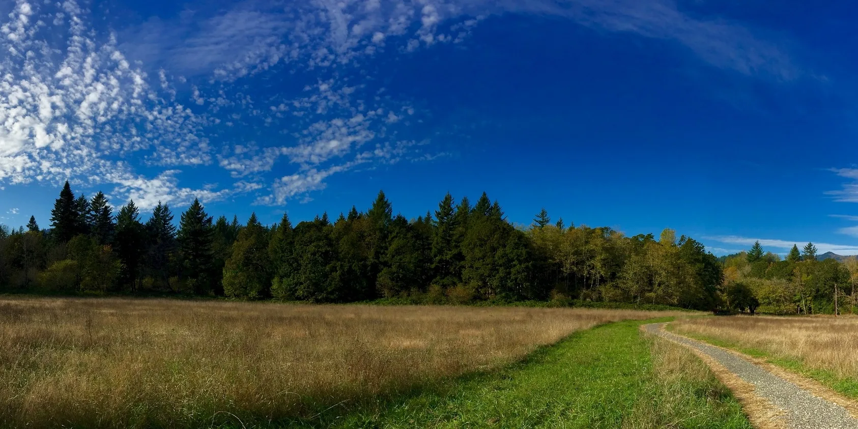
This flat, 1.1-mile riverfront loop traverses a wonderfully diverse range of habitats, from former agricultural fields to river viewpoints, and from mature oak woodlands to cedar forests. It’s a gorgeous walk far from highway sounds, with stops and picnic benches at the overlooks. The gravel trail is accessible to all users.
Permits & Pets
The site is managed by the U.S. Forest Service. A Northwest Forest Pass is required and can be purchased here. Dogs must be on leash.
Trail Notes
- Within the one large loop are two smaller loops. Explore them both. Interpretive signs along the way tell some of the land’s stories. The trail passes through a grove of craggy Oregon white oak (quercus garryana).
- The trees’ age suggests they were here when Indians burned shrubs and tree seedlings to promote growth of the oaks, whose acorns were a food source, and to create open meadows favored by deer and other game. The trail also winds through a grove of old Western red cedar.
- Please always stay on the trail and clean your boots before and after you hike. Hikers are a common vector for spreading invasive seeds.
- There is a restroom in the parking lot.
Conservation Notes
In 1983, before the land protections of the Columbia River Gorge National Scenic Area were put in place, Skamania County approved a 78-acre riverfront subdivision at this site called Hidden Harbor. Friends of the Columbia Gorge filed a lawsuit based on the negative ecological impacts to the shoreline and successfully stopped the subdivision. The Trust for Public Land later bought the property and in 1988 conveyed it to the U.S. Forest Service.
Friends of the Columbia Gorge does not track trail closures. If you are planning a hike in the Gorge, please check other sources in advance for the latest updates, including the U.S Forest Service, Ready Set GOrge, and AllTrails. Recreational activities in the Gorge can involve risk of injury, death, property damage, and other dangers. Friends does not assume responsibility for any such outcome resulting from the use of the information on our hiking web pages. Your use of these web pages is strictly at your own risk.
Post-Hike Explorations
For a longer walk, after exploring Sams Walker, walk right on Skamania Landing Road to a subdivision that did get built along the river prior to enactment of the Columbia River Gorge National Scenic Area Act in 1986. The road passes through the residential area and then crosses the mouth of Duncan Creek. On the right is a large pond in a remote corner of Beacon Rock State Park. After looking over the pond life, retrace your steps back to the start.
Another riverfront exploration nearby is the Fort Cascades Loop.
Other Hikes at or Near This Trailhead
Directions & Travel Tips
Sams Walker Trailhead: From SR 14 west of North Bonneville, turn onto Skamania Landing Road at MP 32.8. Within 0.25 mile, after crossing the railroad tracks, turn right into the parking area for Sams Walker Day Use Area.
A seasonal shuttle operates from Skamania County Fairgrounds in Stevenson, Washington, to the trailhead on weekends during the peak bloom season. Click here for schedule and fare information.