On the Trail
This challenging 15.8-mile, out-and-back hike gains 4,500 feet of elevation on its way to spectacular views atop Table Mountain. This is the ultimate Gorge hike, through the great landmass that slid off the mountain, to the clifftops that remained after the slide had subsided into the river channel.
Views are in every direction, from Mount Hood to Mount Rainier, and from the Gorge’s western portals eastward, toward Hood River.
Permits & Pets
The U.S. Forest Service and Washington Department of Natural Resources manage this land. A Northwest Forest Pass is required and can be purchased here. Dogs must be on leash.
Trail Notes
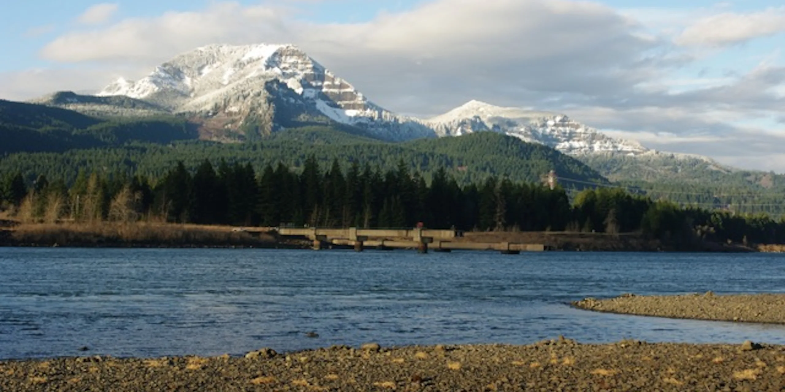
- The Tamanous Trail (Trail 27) begins at the far end of the parking area. As the trail climbs, it offers views of Bonneville Lock and Dam. In 0.6 mile, turn left onto the Pacific Crest National Scenic Trail (Trail 2000).
- In approximately 1 mile, come to a clear-cut where the trail turns sharply right. Some of this land is privately owned, so do not divert far from the trail. Near Gillette Lake, head up the right side of a creek valley and gain more elevation.
- The trail eventually empties onto a forest road. The lake is on the other side of the road, downhill and out of view. Look for where the trail picks back up as it heads downhill. You’ll see the lake on your left.
- Continue down the hill and look for a small spur to the left that leads to a nice lakeside campsite. Gillette Lake was formed, along with many nearby lakes and ponds, in the landslide mass that slid off of Table Mountain centuries ago. Deer are common around dusk, feeding in the clear-cuts. Hamilton Mountain is to the west.
- Back on the Pacific Crest Trail, continue up to Greenleaf Viewpoint for a great Gorge view. Farther on, cross an abandoned road that is today the Greenleaf Trail. A right turn here leads to Greenleaf Falls. For this hike, continue straight.
- Soon, the trail contours across a ridge above Carpenters Lake. The PCT-Aldrich Bypass Trail soon parallels the PCT and then intersects it approximately 1 mile from Carpenters Lake. Take either path north from here, as they intersect again about 150 yards farther north.
- From this second junction, take the PCT northward as it climbs the west side of Table Mountain. In approximately 0.5 mile, come to the Heartbreak Ridge Trail. This route to the summit follows the old Eastway Trail for some distance up the mountain, and then swerves onto a path up a steep talus slope. But because the Heartbreak Ridge Trail is quite rugged, stay on the PCT another 0.5 mile to the West Table Mountain Trail.
- There are several routes from here, and the trail is a bit of a maze. The trail reaches the Table Mountain Lower Viewpoint, a large flat area, about 0.5 mile above the PCT.
- Clear days reveal views of Bonneville Dam and Cascade Locks far below. Here, the trail alternates between small timbered patches and open hillsides. The open areas are mostly on cliff edges and have great views to the west.
- Eventually, switchback through a couple of talus areas and pass interesting pits that may have Native American origins.
- The trail passes another rocky area with a cairn marker. Soon after, the trail forks. Go straight ahead to the open North Viewpoint, to views of Mount St. Helens, Mount Adams, and Mount Rainier. Return to the fork and head south.
- Next, come to a level stretch of trail, the flat-as-a-table summit. The main trail heads south and crisscrosses to the summit, and then drops through open meadows.
- The south edge features views of the cliffs framing the landslide, as well as of the Columbia Gorge and Mount Hood. Enjoy the summit views and then retrace the route to the start.
- Please always stay on the trail and clean your boots before and after you hike. Hikers are a common vector for spreading invasive seeds.
- Restrooms are at the trailhead.
Friends of the Columbia Gorge does not track trail closures. If you are planning a hike in the Gorge, please check other sources in advance for the latest updates, including the U.S Forest Service, Ready Set GOrge, and AllTrails. Recreational activities in the Gorge can involve risk of injury, death, property damage, and other dangers. Friends does not assume responsibility for any such outcome resulting from the use of the information on our hiking web pages. Your use of these web pages is strictly at your own risk.
Post-Hike Explorations
From the trailhead, 23 miles west on SR 14 are Washougal’s brewpubs, taverns, and cafes on Main Street and Pendleton Way. Five miles east of the trailhead on SR 14, Stevenson’s many brewpub and restaurant options range from its waterfront, to downtown, to resort.
Other Hikes at or Near This Trailhead
Directions & Travel Tips
North Bonneville Trailhead: On SR 14 at the Bridge of the Gods (tolls are required on the bridge), travel west on SR 14 for 2 miles, then turn right into the Bonneville trailhead parking area. Restrooms are at the trailhead.
Car-free Transit: A seasonal weekend shuttle operates to the trailhead. Click here for schedule and fare information.