On the Trail
This flat, paved pedestrian/bike path along the Columbia River runs 6.5 miles through natural areas and industrial landscapes and by historical sites, all accompanied by big views along the river. The trail is bookended by the Columbia Gorge Discovery Center & Museum on the west and Riverfront Park on the east. In between, it passes side paths to hidden coves, a Lewis and Clark campsite, and historical downtown The Dalles, with its many brewpubs and shops, including Oregon’s oldest bookstore. The flat terrain and many stops make for easy biking with big payoffs.
Permits & Pets
The trail is managed by Northern Wasco County Parks & Recreation. No permits are required. Dogs must be on leash.
Trail Notes
- The Riverfront Trail begins in the east end of the parking lot. From here, a short, especially scenic stub of the trail goes west to almost opposite Crate’s Point. Geologically, it’s the east end of the Columbia River Gorge. The beautiful pond here belies the fact this land used to be occupied by a cement plant.
- After exploring west of the Discovery Center, head east on the trail. Pass many single-track paths to rocky cliffs that line the river like a gutter. Some of these paths are worth investigating; they lead to secluded coves. The most scenic parts of the trail, in terms of natural beauty, are on the west end.
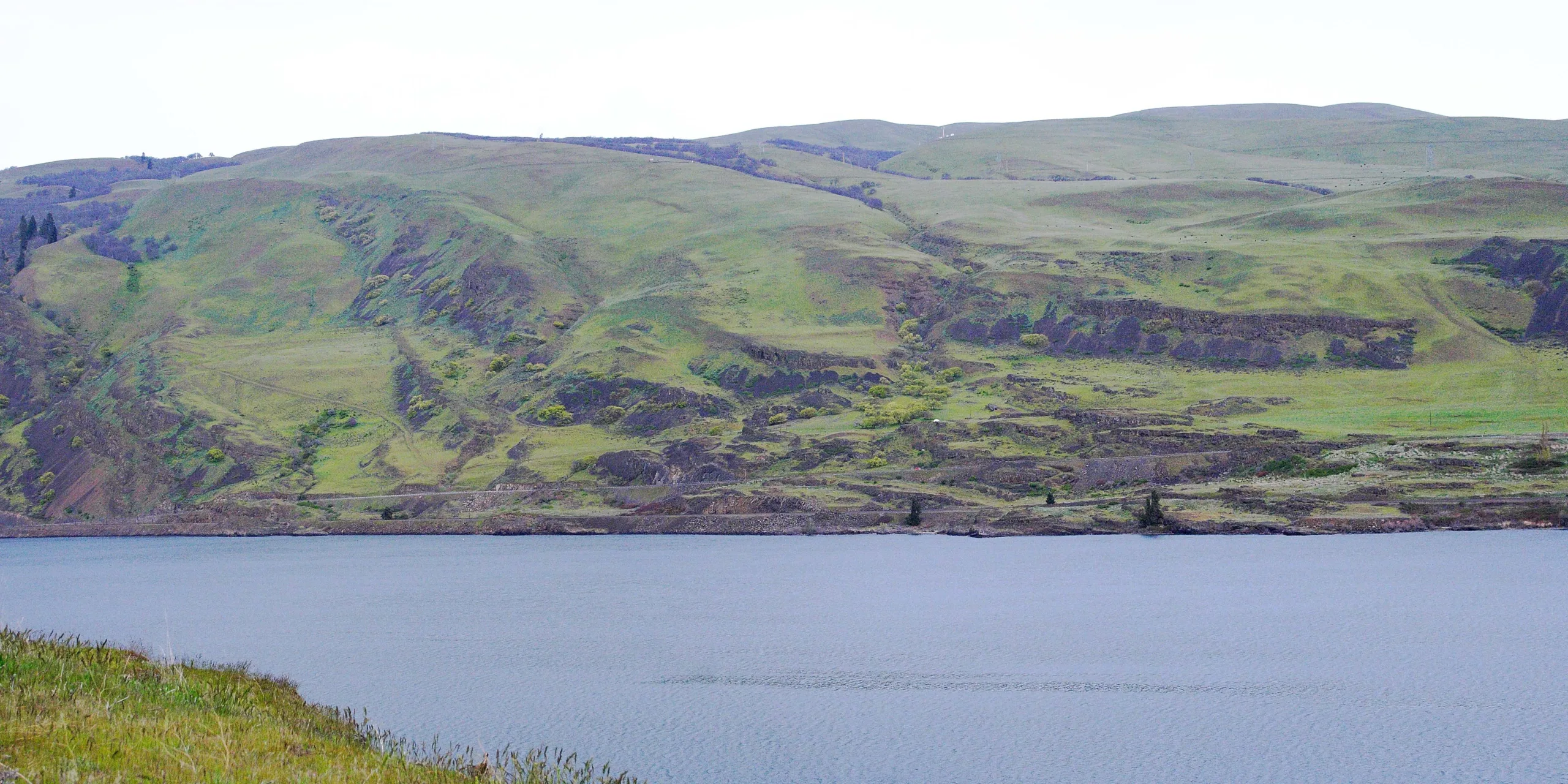
- Most of the narrow channels through basalt, which French-Canadian explorers called les dalles, are now underwater. One channel along the Waterfront Trail, between the mainland and Rocky Island, offers an idea of what the river looked like before dams.
- Continuing east on the path, come to the mouth of Chenoweth Creek. This is where pioneers launched themselves into the Columbia, on the final leg of their journey to the Willamette Valley. With the opening of the Barlow Trail over Mount Hood in 1846, many opted to skip this treacherous river journey, instead taking the overland route.
- Keep on the trail, which winds inland to cross Chenoweth Creek on a bridge, then passes the huge Google data center. Starting in 1958, the land was home to an aluminum smelter. After closure and reopening in the 1980s, the smelter closed permanently in 2000. Like the smelter, Google also found the inexpensive hydroelectric power generated by The Dalles Dam to be a reason to locate here. It opened at the site in 2006.
- The trail travels inland, along Klindt Drive and River Road. Watch for signs, and at Bargeway Road, turn left to stay on the trail. Turn left on W 1 Street which leads back to the river’s edge. Turn left at the turnoff to interpretive signs at Fort Camp, where Lewis and Clark camped on the river. Lewis recorded on April 18, 1806, that their camp was visited by a chief and 12 tribal members.
- Next up is the cruise ship dock, opened in 2012. Enormous ships dock here for the day during eight-day Columbia River cruises. Some provide passengers with bikes, so if you see scores of people on identical bikes, you know where they came from.
- Leave the trail at Union Street for lunch or downtown exploring. On Union is Lewis & Clark Festival Park, with restrooms and a sculpture of the Corps of Discovery.
- If you stay on the trail, 1 mile past the cruise ship dock is Riverfront Park with its sandy beach. Wade or swim here, and in summer, rent a SUP.
- Return to the start by retracing the route west on the Riverfront Trail.
- Please always stay on the trail and clean your boots before and after you hike. Hikers are a common vector for spreading invasive seeds.
- Restrooms can be found in the Columbia Gorge Discovery Center & Museum.
Friends of the Columbia Gorge does not track trail closures. If you are planning a hike in the Gorge, please check other sources in advance for the latest updates, including the U.S Forest Service, Ready Set GOrge, and AllTrails. Recreational activities in the Gorge can involve risk of injury, death, property damage, and other dangers. Friends does not assume responsibility for any such outcome resulting from the use of the information on our hiking web pages. Your use of these web pages is strictly at your own risk.
Post-Hike Explorations
The Columbia Gorge Discovery Center & Museum is open every day. Learn about Lewis and Clark’s epic cargo hauled by horse and manpower across the continent. Other exhibits feature Native Americans, who have inhabited this part of the Gorge for over 10,000 years, and the Ice Age Floods.
Leave the trail at Lewis & Clark Festival Park to ride or walk into downtown. It and the historical neighborhoods above it make for excellent urban wandering, with old storefronts and churches revived with new commercial lives, intriguing residential architecture, and a classic urban oasis, Sorosis Park. The park sits atop one of the cliffs and offers excellent views: Mount Adams, the huge bend in the Columbia, The Dalles Dam, and city neighborhoods and landmarks. South of the park, cherry orchards begin.
Directions & Travel Tips
The Dalles Discovery Center: Take I-84 to Exit #82 and turn right on the Historic Columbia River Highway (Hwy 30). Follow it for 1.5 miles. Then turn right on Discovery Drive and follow it to the Discovery Center.