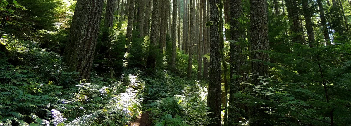
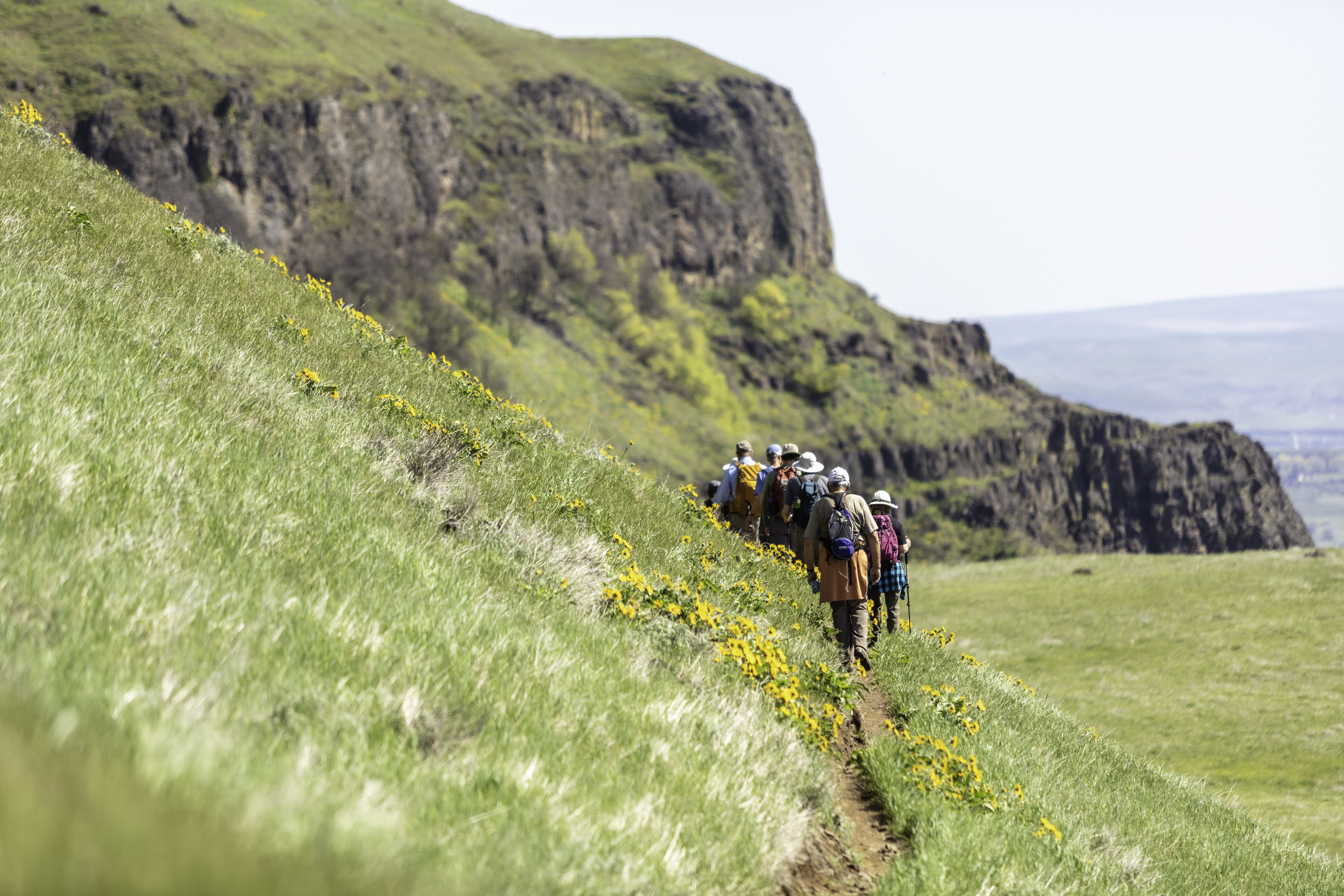
This is a very strenuous hike with lots of elevation gain and only one water source. The hike starts at the Wahclella Falls Trailhead, but not the Wahclella Falls trail. To find the Tanner Butte trail, walk back toward the freeway, and look for a trail taking off above the parking lot area. Hike about a mile until you come out on a service road. Head south for about a mile until you see the Tanner Ridge/Butte Trailhead sign. From here, there are a series of beautiful waterfalls as you climb up Tanner Ridge.
Follow Trail #401 for approximately two miles, until you come to the junction of Trail #401D to Wauna Point. Turn right and continue the climb up Tanner Ridge. Hike a couple of more miles until you come to a junction with Trail #448, which heads back down the canyon toward Tanner Creek, and back to where you began. Continue toward Tanner Butte, and you will come to an abandoned road which the trail follows for nearly the remainder of the hike. The trail you are on continues to Eagle Creek, but for this hike you will take the cutoff trail to the top of Tanner Butte. It is well marked, but the trail isn’t. Once you summit, the views are spectacular on a clear day.
– Hike descriptions were collaboratively written with the generous support of oregonhikers.org.
Friends of the Columbia Gorge does not track trail closures. If you are planning a hike in the Gorge, please check other sources in advance for the latest updates, including the U.S Forest Service, Ready Set GOrge, and AllTrails. Recreational activities in the Gorge can involve risk of injury, death, property damage, and other dangers. Friends does not assume responsibility for any such outcome resulting from the use of the information on our hiking web pages. Your use of these web pages is strictly at your own risk.
Directions & Travel Tips
Toothrock Trailhead: From I-84, take Exit #40/Bonneville Dam. Turn south at the stop sign and drive about 100 feet. Turn left at the fork (right takes you to Wahclella Falls trailhead). Follow the short road uphill to the end where you’ll see the trailhead parking lot.


