On the Trail
Larch Mountain is a wide volcano with shallow-sloping sides called a broad shield volcano. One of the most prominent peaks in the Gorge, at 4,055 feet, it’s also the highest peak in the Boring Lava Field of cinder cones and volcanoes that range along the western Cascade foothills. This 6-mile loop starts near the top of the mountain and descends 1,260 feet to meadows that fill its crater, where Multnomah Creek is born. From there, it climbs 1,260 feet back to the start.
Permits & Pets
The trails and picnic area on Larch Mountain are managed by the U.S. Forest Service. A Northwest Forest Pass is required and can be purchased here. Dogs may be off leash.
Trail Notes
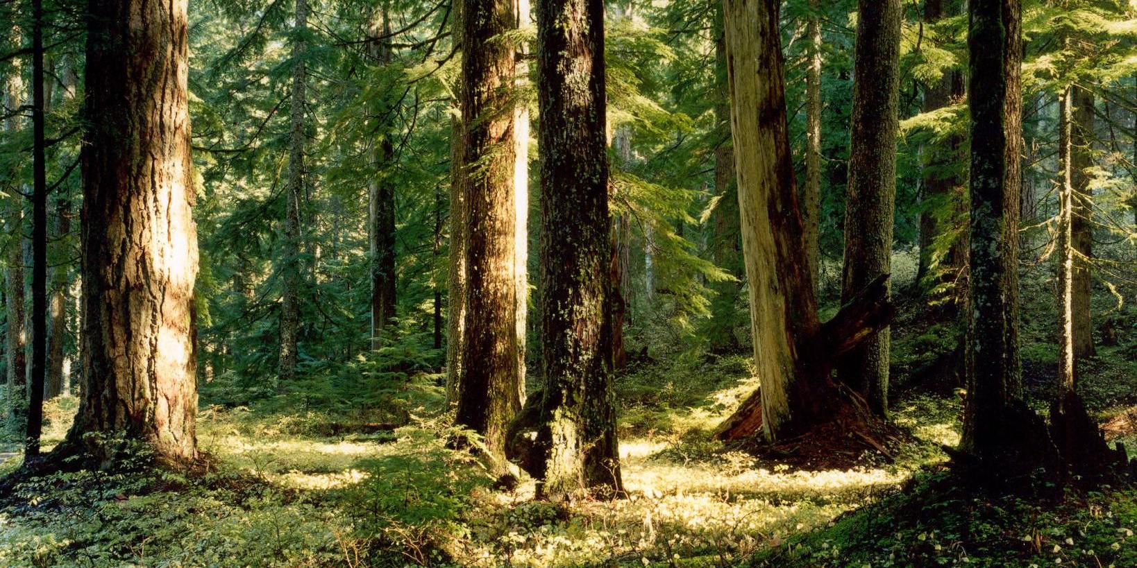
- The Larch Mountain Trail (Trail 441) begins at the northwest end of the parking lot. Pass through a campground, then descend somewhat steeply through a dense forest, and cross a closed road and large campsite.
- In 1.8 miles, turn right on Multnomah Creek Way Trail (Trail 444) and take it downhill 0.2 mile to a log bridge over Multnomah Creek. Once across the bridge, in about 0.1 mile, keep right on Trail 444, now traveling upstream along Multnomah Creek, and passing through wetlands in the crater.
- The trail then switchbacks up the crater wall to an old logging railroad grade. Much of the timber on Larch Mountain was sent downstream via a log flume to a mill at Bridal Veil. The mountain’s name came not from its native larch trees (of which there were none) but from lumbermen who logged the noble fir here, and marketed it as larch. (Note: The Western larch, sometimes called tamarack, is one of the few deciduous conifers. It does grow in Oregon, but not west of the Cascades.)
- The trail follows the logging grade about 1 mile, then comes to a junction with the Oneonta Trail (Trail 424). Turn right on Trail 424 and follow it 0.9 mile to Larch Mountain Road. Turn right and hike the road 0.4 mile back to the start.
- Please always stay on the trail and clean your boots before and after you hike. Hikers are a common vector for spreading invasive seeds.
- Restrooms are near the trailhead.
Friends of the Columbia Gorge does not track trail closures. If you are planning a hike in the Gorge, please check other sources in advance for the latest updates, including the U.S Forest Service, Ready Set GOrge, and AllTrails. Recreational activities in the Gorge can involve risk of injury, death, property damage, and other dangers. Friends does not assume responsibility for any such outcome resulting from the use of the information on our hiking web pages. Your use of these web pages is strictly at your own risk.
Post-Hike Explorations
After this loop in the woods, go to the top of the mountain. About 100 feet from the Larch Mountain trailhead is the start of Trail 443. This 0.2-mile trail, with stairs, leads to Sherrard Point, Larch Mountain’s peak. On top is an observation platform with views of five Cascade volcanoes: Rainier, Adams, St. Helens, Hood, and Jefferson.
Directions & Travel Tips
On I-84, take exit 22/Corbett, drive 1.4 miles uphill on Corbett Hill Road, then turn left on the Historic Columbia River Highway. Drive east 1.9 miles, then veer right onto Larch Mountain Road. Follow it as it climbs for 14 miles to the Larch Mountain Picnic Area and trailhead, at 3,900 feet. Restrooms are near the trailhead. In most years, from November to late spring the road is closed due to snow above milepost 10, about 4 miles below the trailhead.
On the way through Corbett, stop at the country market and get provisions for a picnic on the trail, at the summit, or in the picnic area after the hike.


