On the Trail
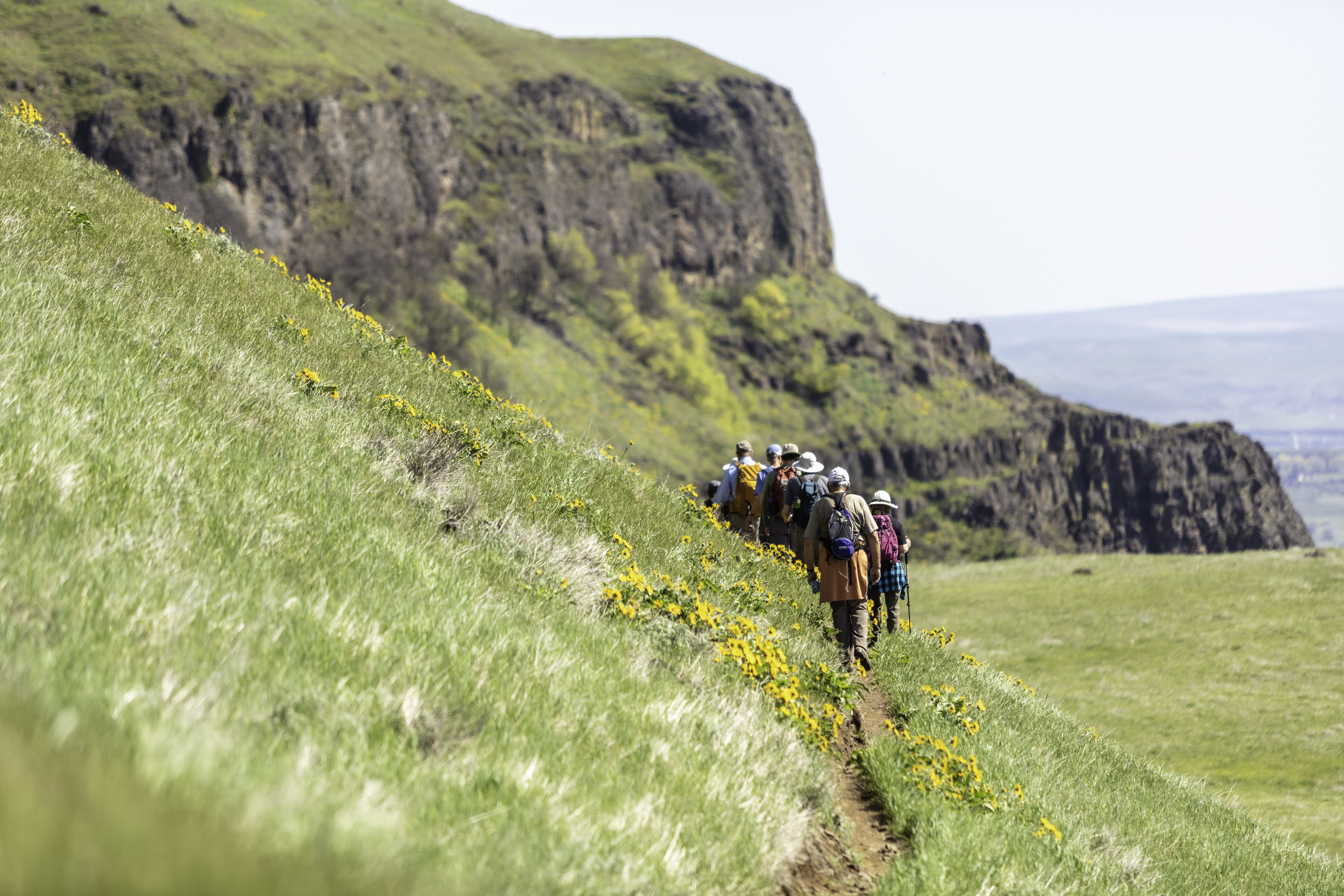
This strenuous 9-mile loop gains 2,000 feet of elevation and is far less popular than other trails within Beacon Rock State Park. It offers solitude, spectacular views, and a great wildflower show in June and July.
Permits & Pets
This trail is within Beacon Rock State Park. A Discover Pass is required. Dogs must be on leash.
Trail Notes
- Take a photo of the trail map in the parking area. The connector trail that links the East and West Hardy Ridge Trails may not be marked on the map. Most of the junctions indicated in this description are marked with signs.
- Hike north on the equestrian trail, a gated dirt road. After about a mile, take note of the West Hardy Ridge Trail, the return leg of the route.
- Continue another half-mile and turn north onto the East Hardy Ridge Trail, another dirt road in the woods, lined with salmonberry. Travel this road to its end, to a trail sign marked “foot traffic only.” This well-established, single-track trail leads to the top of the ridge in half a mile, at a four-way trail junction.
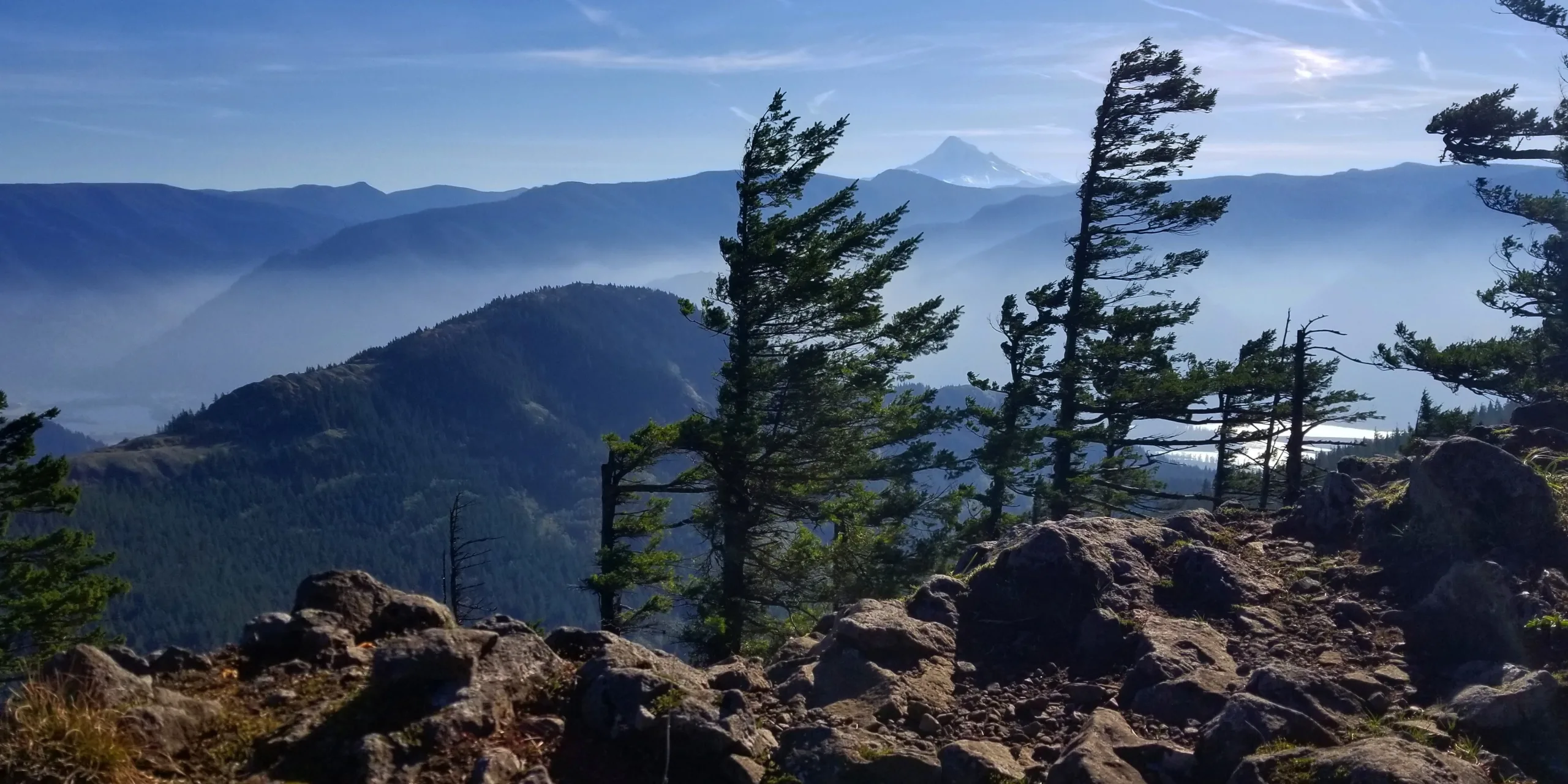
- At the junction, turn right to travel north and enjoy wonderful views on the trail to the summit of Hardy Ridge; the trail ranges between open meadows, forest, and rocky knobs. Hamilton Mountain looks small from here, and Table Mountain seems tame, with Mount Adams rising above its northern shoulder. The trail might be overgrown and brushy but is clear enough if you stay on the ridge top.
- After exploring the ridge top, return to the four-way junction and take the connector trail to the right (west), heading down the west side of the ridge. This trail is an old road reopened by Washington Trails Association. When the connector trail ends on the West Hardy Ridge Trail, turn downhill (south) to return to the equestrian trail, and retrace your steps to the trailhead.
- Please always stay on the trail and clean your boots before and after you hike. Hikers and their dogs are common vectors for spreading invasive seeds.
- A restroom is at the trailhead.
Post-Hike Explorations
From the trailhead heading west on SR 14, Washougal’s brewpubs, taverns, and cafes are 23 miles away, on Main Street and Pendleton Way. East of the trailhead on SR 14, Stevenson’s many brewpub and dining options range from waterfront to downtown to resort.
Other Hikes at or Near This Trailhead
- Beacon Rock
- Doetsch Ranch Loop
- Hamilton Mountain
- Hardy Falls and Rodney Falls
- River-to-Rock
Directions & Travel Tips
From SR 14 near milepost 35, come to Beacon Rock State Park. Turn north on Kueffler Road. Drive 1.1 miles and turn right; drive 0.4 mile to the large equestrian trailhead, the start of this hike.


