Hike the Columbia River Gorge

Let us help you find the best Columbia Gorge hike for your next adventure.
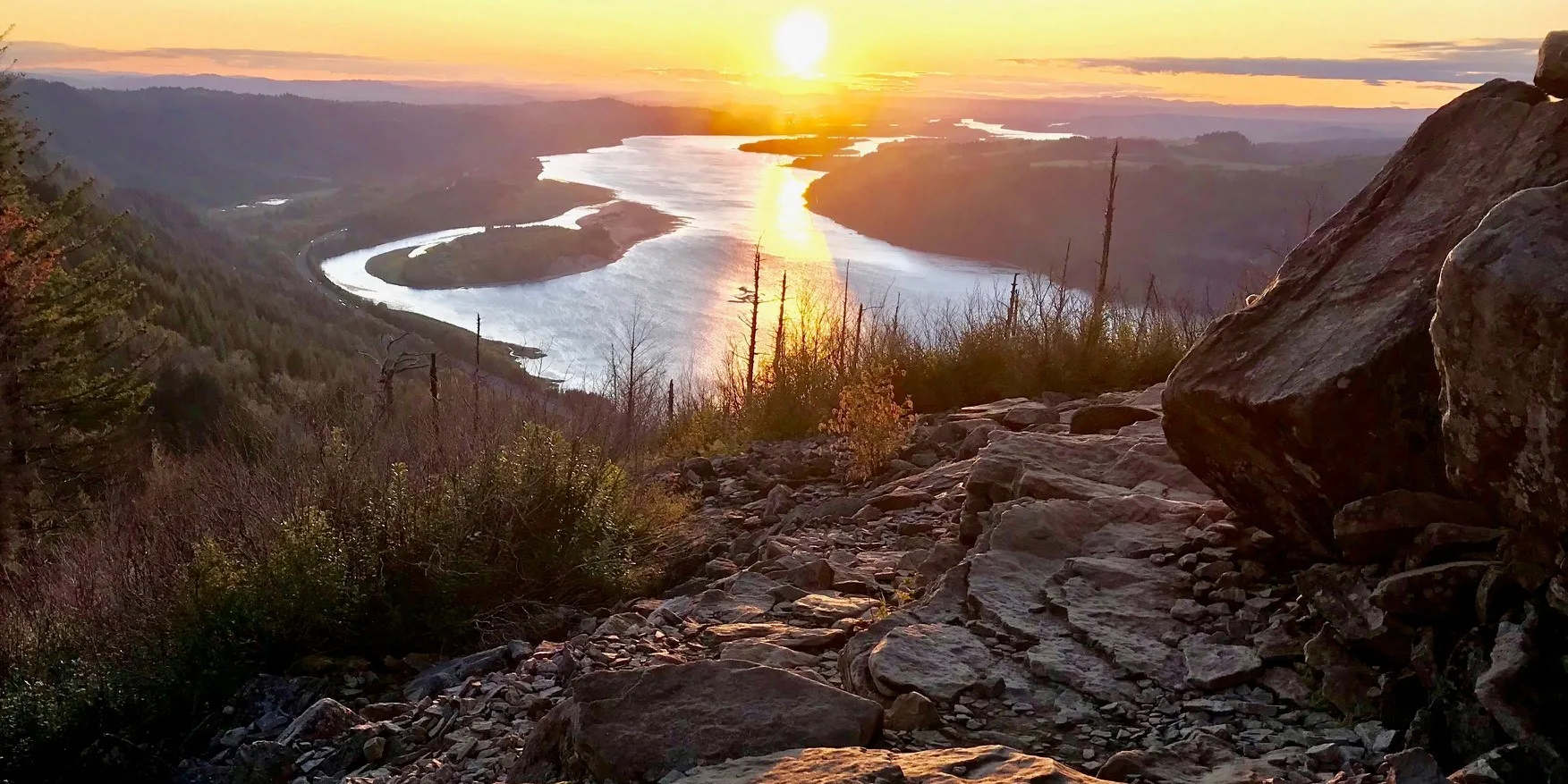
Sunset view from Angel's Rest. Photo by Steve Carples.

Moderate

Angel’s Rest

4.8 miles • 1,500 feet •

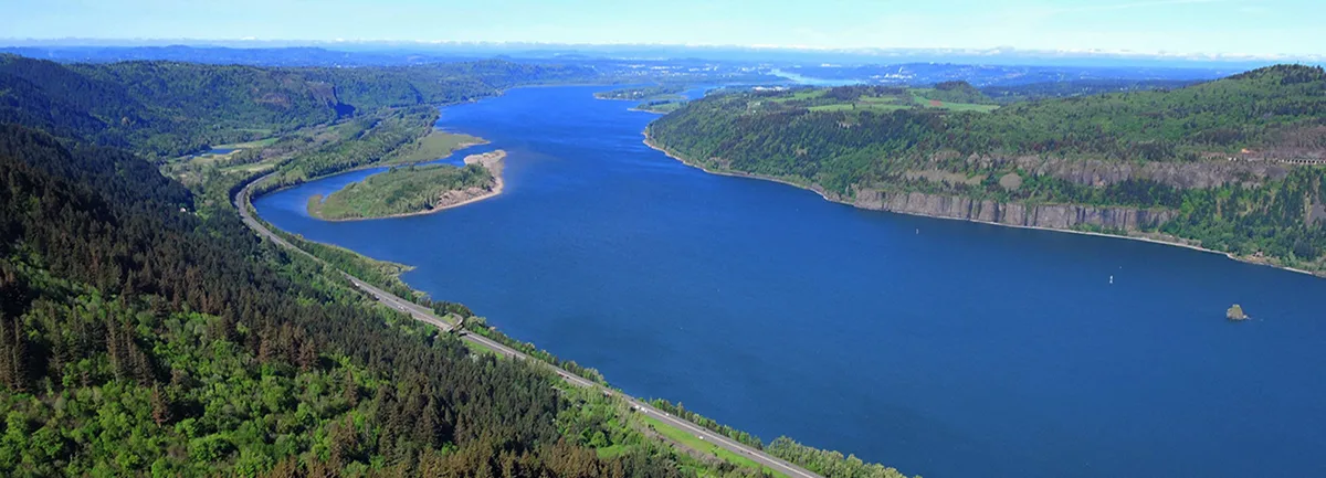
View of the Columbia River from the trail. Photo by Debbie Asakawa.

Expert

Angel’s to Devil’s Rest Loop

10.7 miles • 2,770 feet •

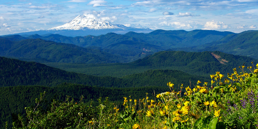
Spring wildflower meadows on Augspurger Mtn. Photo by Joe Urmos.

Expert

Augspurger Mountain

12.5 miles • 4,400 feet •

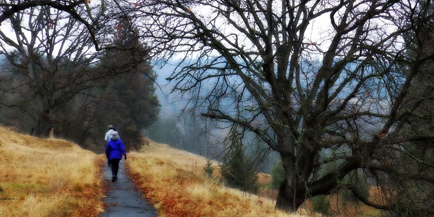
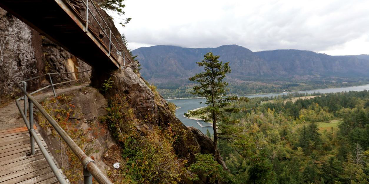
Hiking the Balfour-Klickitat Loop trail. Photo by Debbie Asakawa.

Easy

Balfour-Klickitat Loop

0.75 miles • 150 feet •

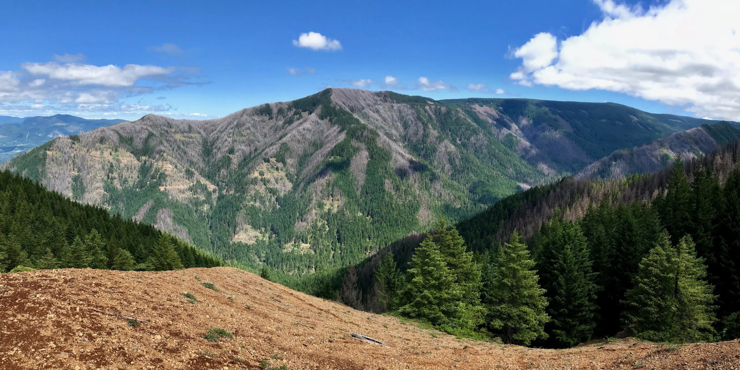
Looking across the Columbia River from the Beacon Rock trail. Photo by Micheal Drewry.

Easy

Beacon Rock

1.8 miles • 680 feet •

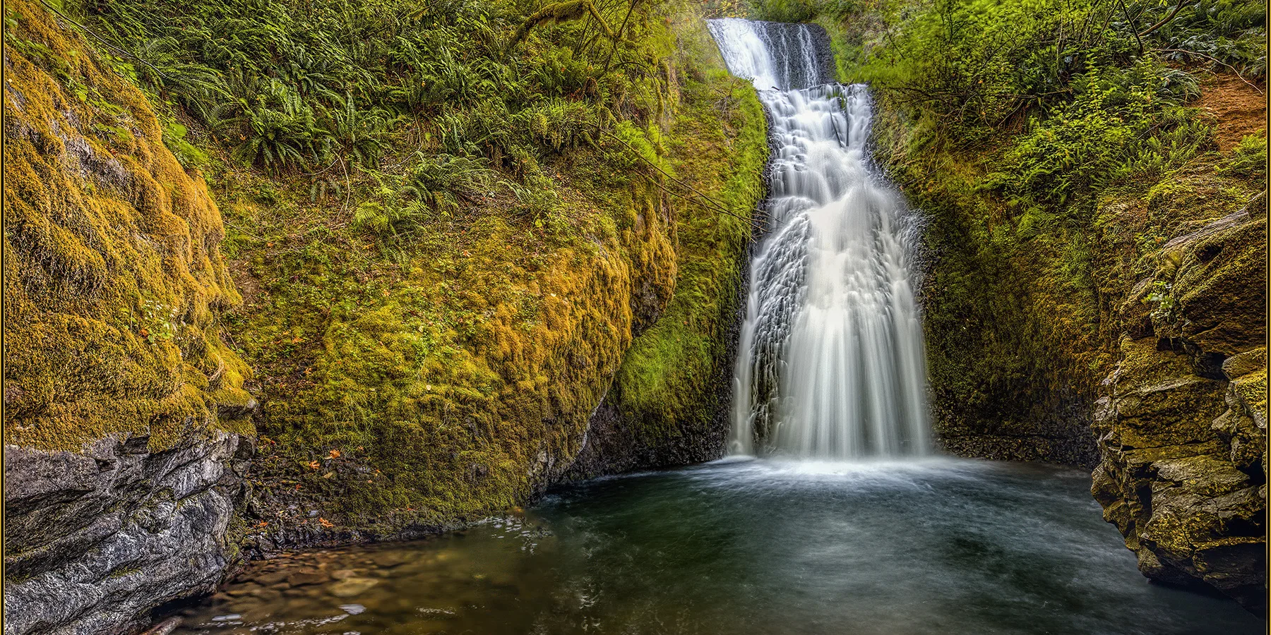
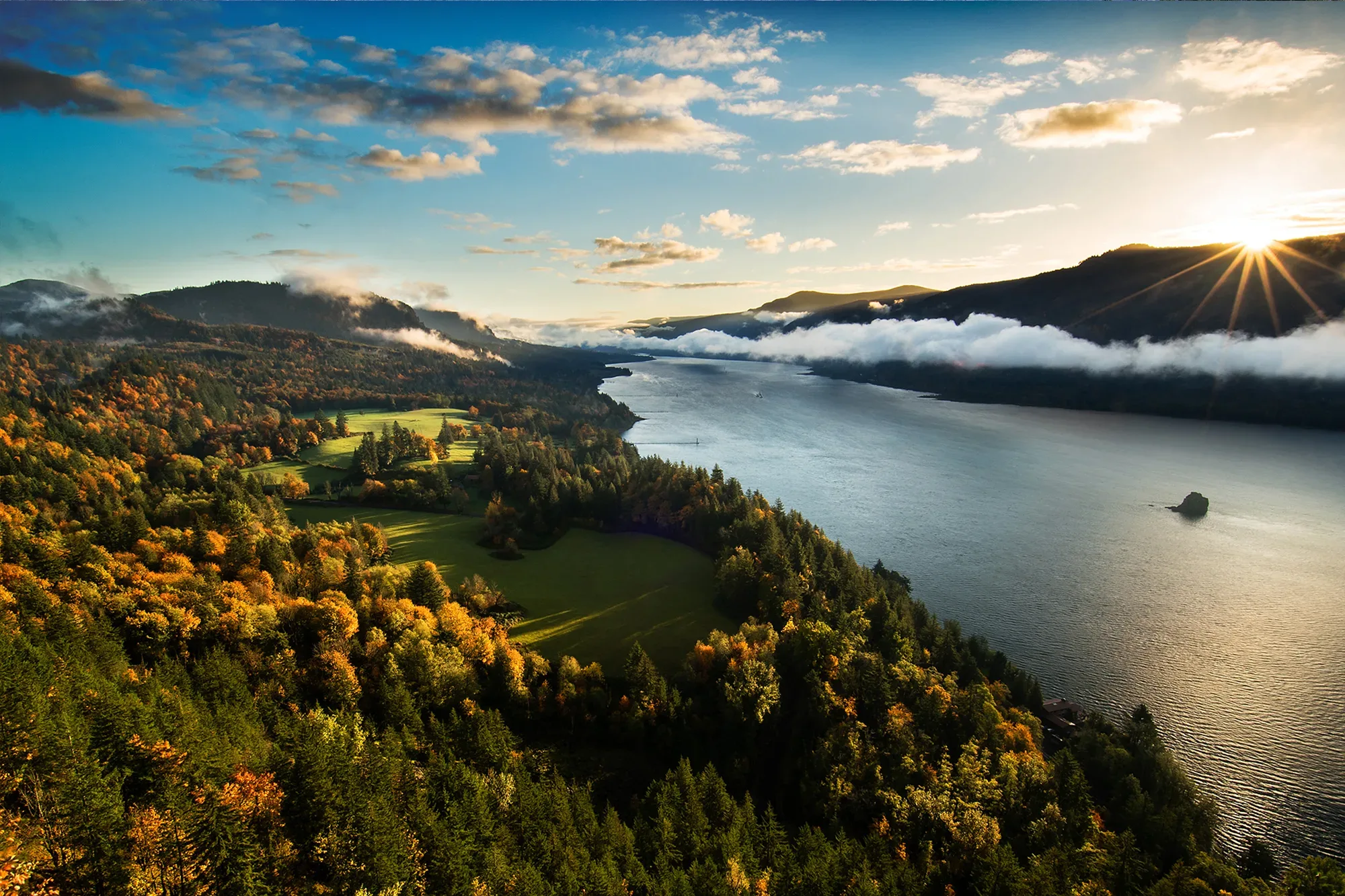
View from Benson Plateau. Photo by Steve Carples.
Expert

Benson Plateau Loop

16.2 miles • 4,080 feet •

Bridal-Veil-Falls

Easy

Bridal Veil Falls

1 mile • 70 feet •

Strenuous

Cape Horn

7.2 miles • 1300ft •

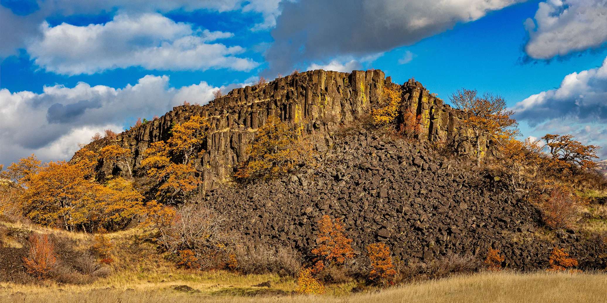
The arch at Catherine Creek. (photo: Friends' archive)

Easy

Catherine Creek Arch Loop

1.9 miles • 200 feet •

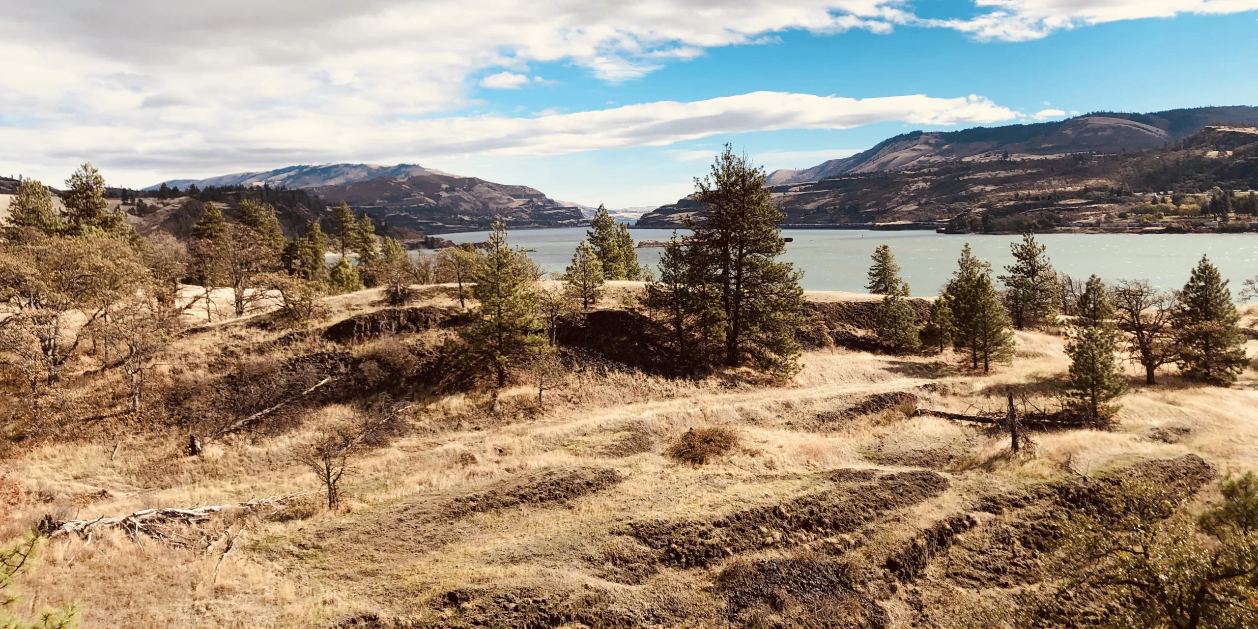
The Labyrinth at Catherine Creek. Photo by Don Jacobson.

Moderate

Catherine Creek Labyrinth

4 miles • 1,000 feet •

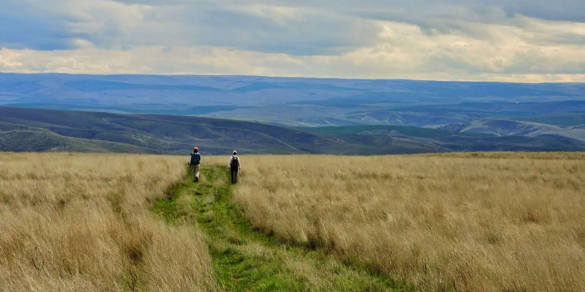
Riverside view from Catherine Creek, taken from universal access loop trail. Photo by Stan Hall.
Easy

Catherine Creek Universal Access Loop

1.2 miles • 50 feet •

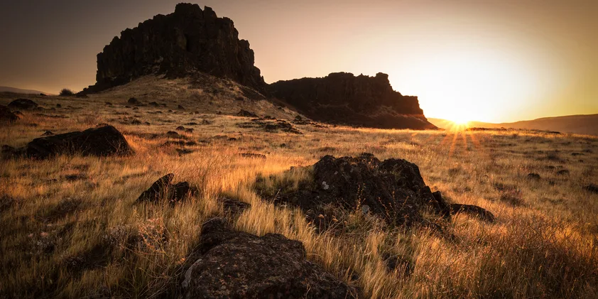
On the trail to Crawford Oaks. Photo by Debbie Asakawa.

Moderate

Columbia Hills Historical State Park: Crawford Oaks

8.5 miles • 1,300 feet •

Sunrise over Horsethief Butte. Photo by Jeremiah Leipold.
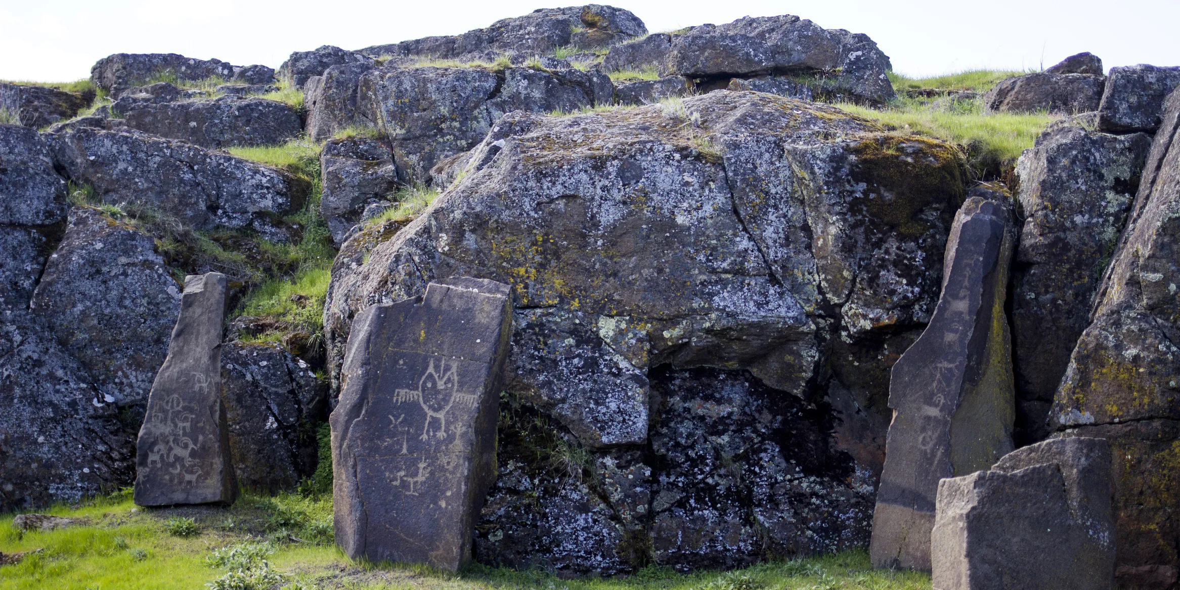
Petroglyphs at Columbia Hills State Park. Photo by Junelle Lawry.
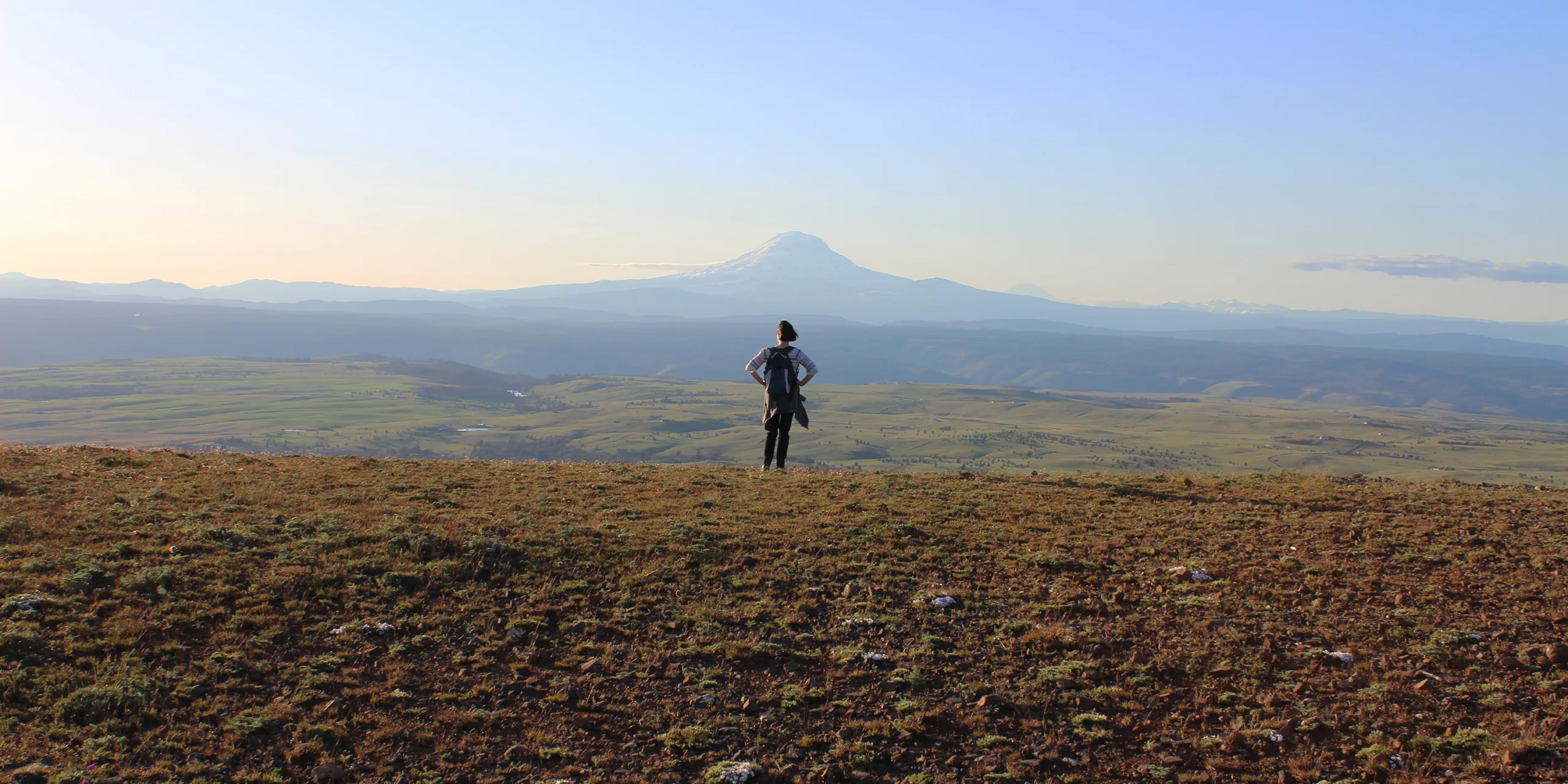
Facing away from the Columbia River, a hiker on top of Stacker Butte takes in the view of Mt. Adams. Photo by Stan Hall.

Moderate

Columbia Hills Historical State Park: Stacker Butte

4 miles • 1,150 feet •

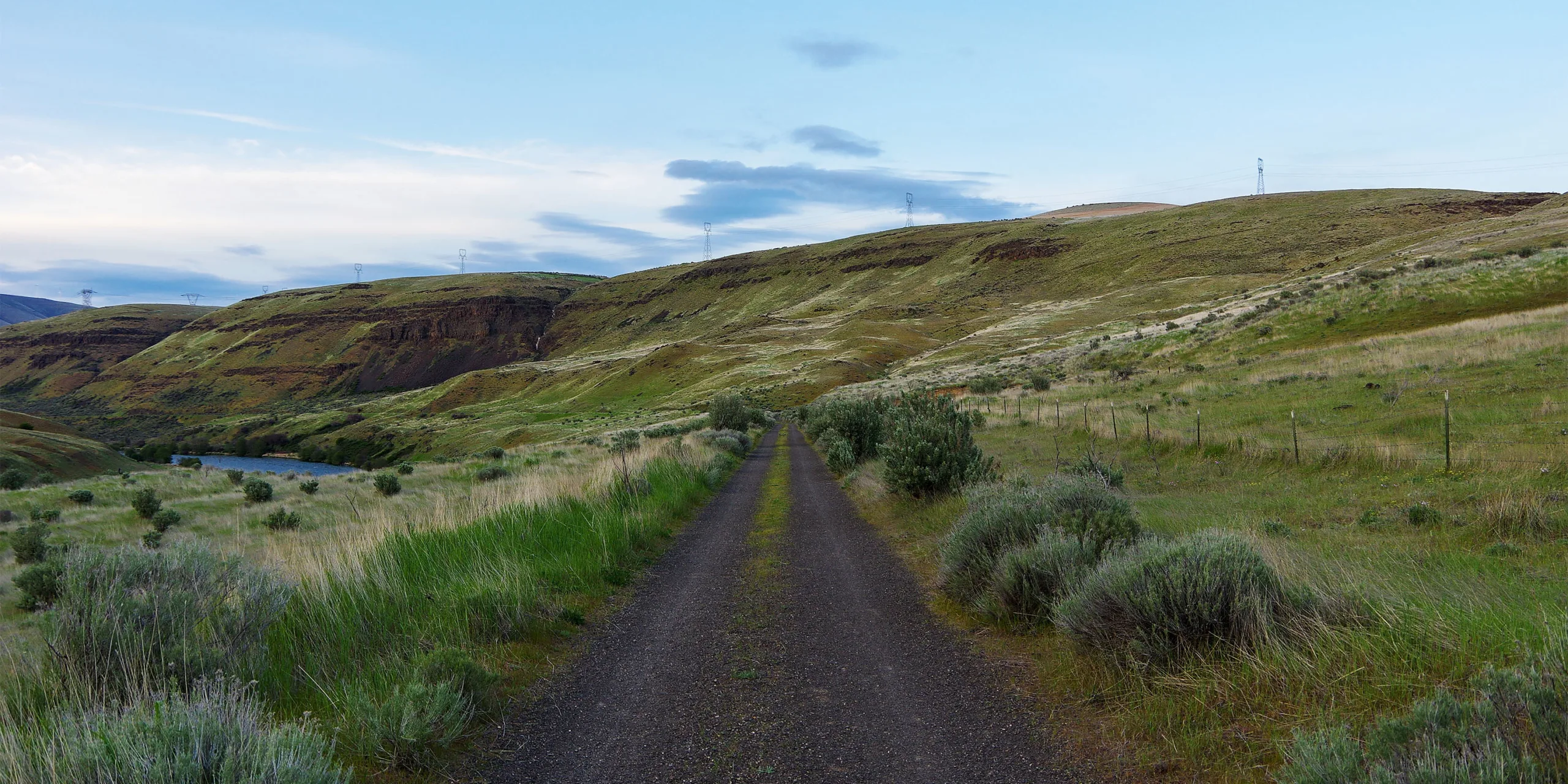
Ferry Springs Trail. Photo by Joe Urmos.

Moderate

Deschutes River State Park – Ferry Springs Loop

4.5 miles • 500 feet •

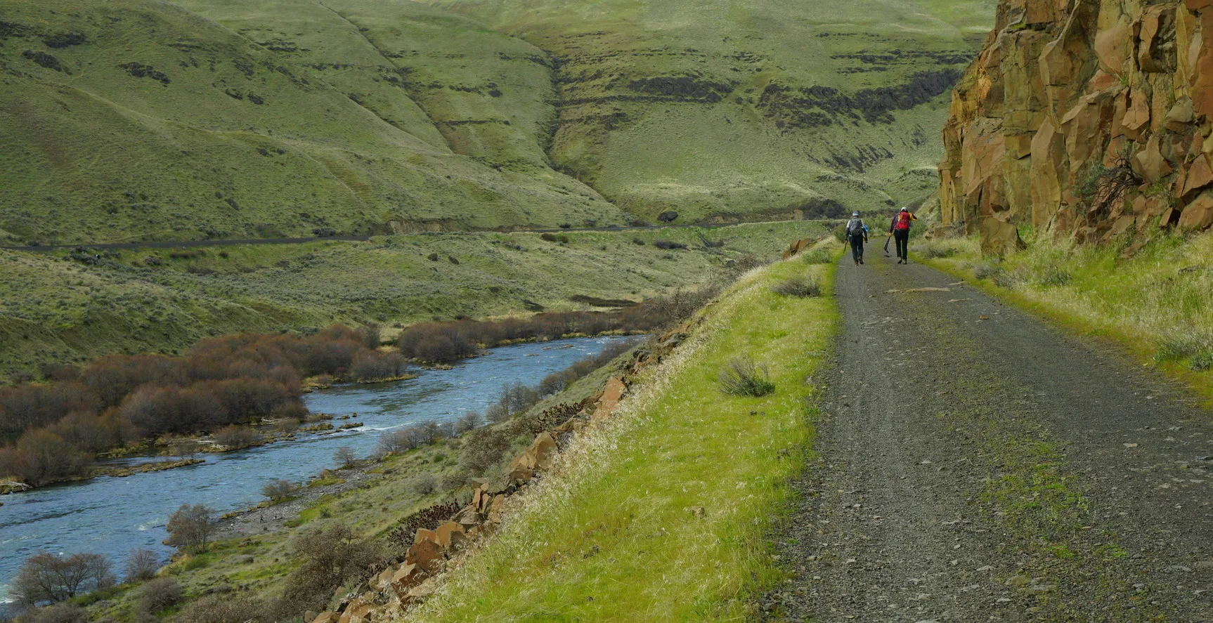
Hikers on the Deschutes River Trail. Photo by Debbie Asakawa.

Easy

Deschutes River State Park – River Trail

22.6 miles • 200 feet •

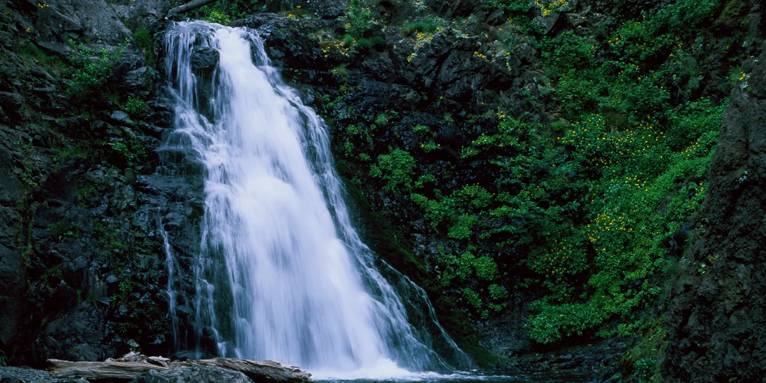
Dog Creek Falls. Photo by Greg Lief.
Easy

Dog Creek Falls

0.2 miles •

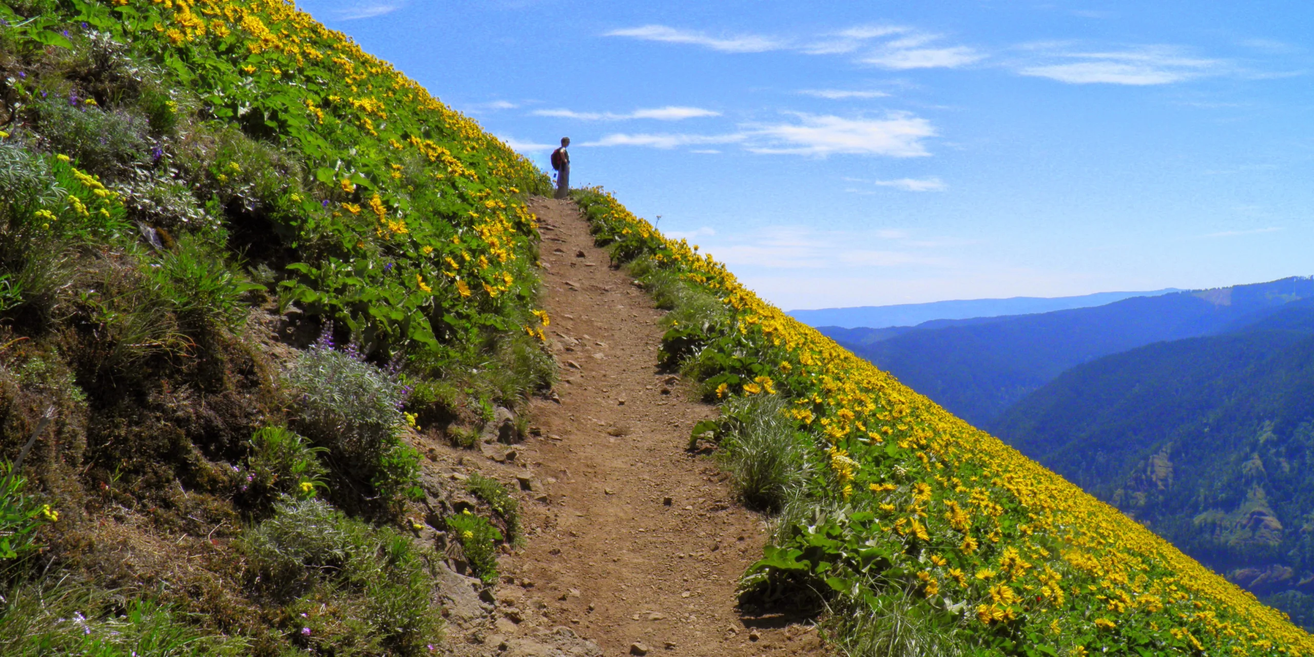
Reflective moment on Dog Mountain. Photo from Friends' archive.

Strenuous

Dog Mountain Loop

6.9 miles • 2,820 feet •

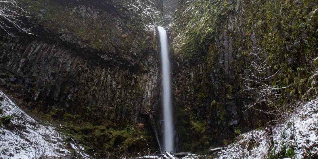
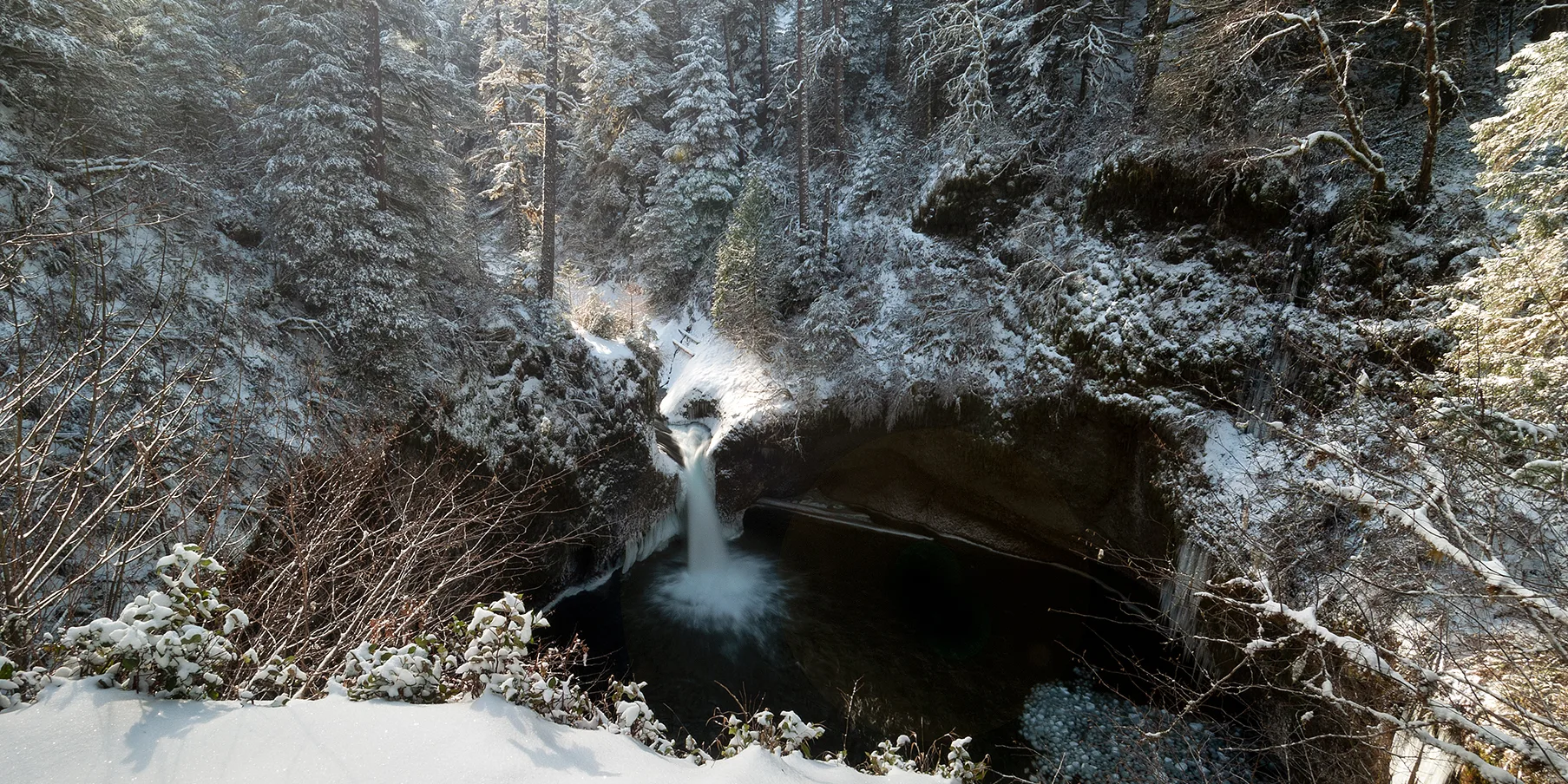
Dry Creek Falls in winter. Photo by Becky Kuperstein.

Moderate

Dry Creek Falls

4.4 miles • 700 feet •

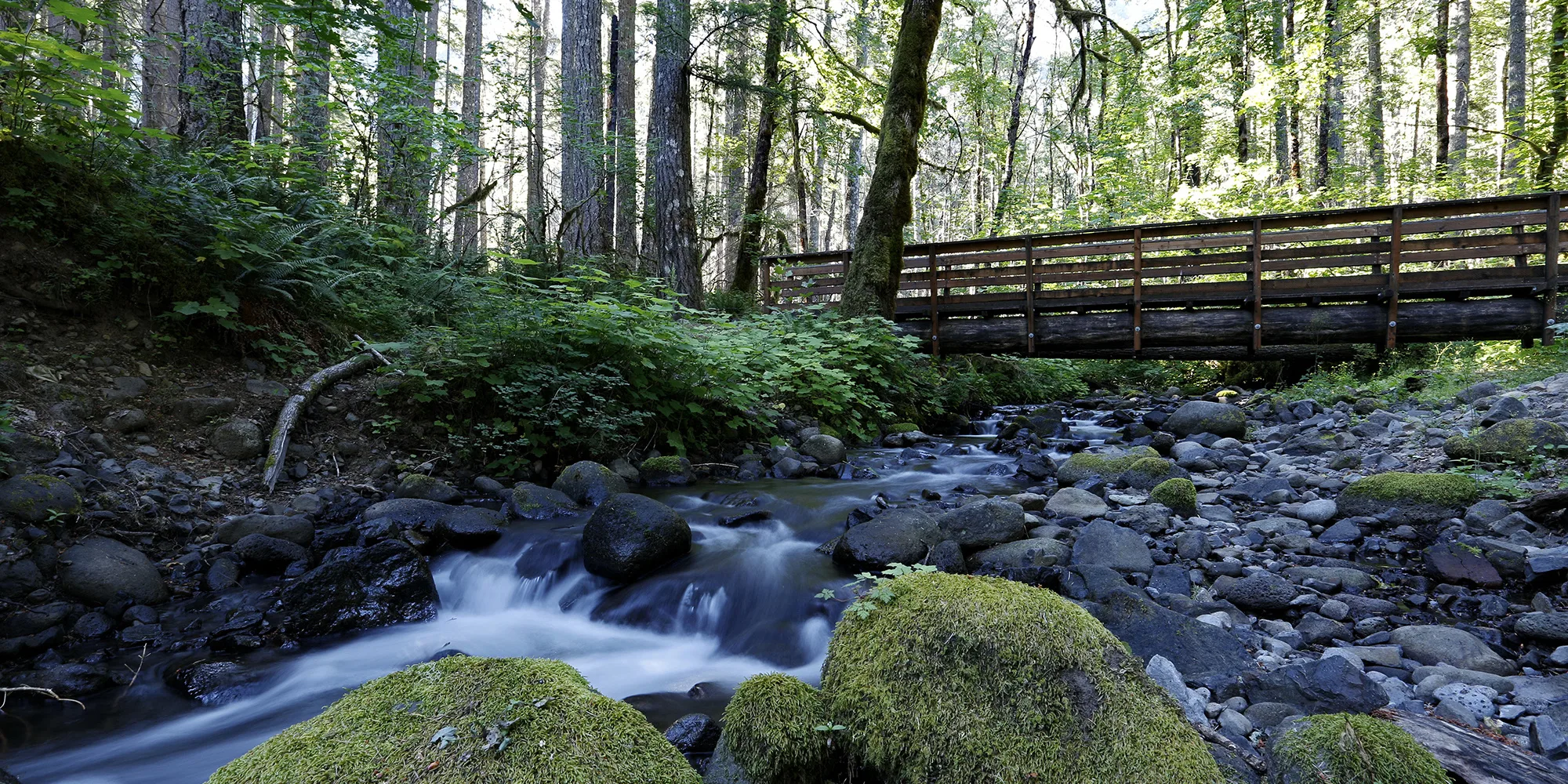
Bridge over Dry Creek. Photo by Micheal Drewry.

Strenuous

Dry Creek Falls to Herman Creek

8.6 miles • 750 feet •

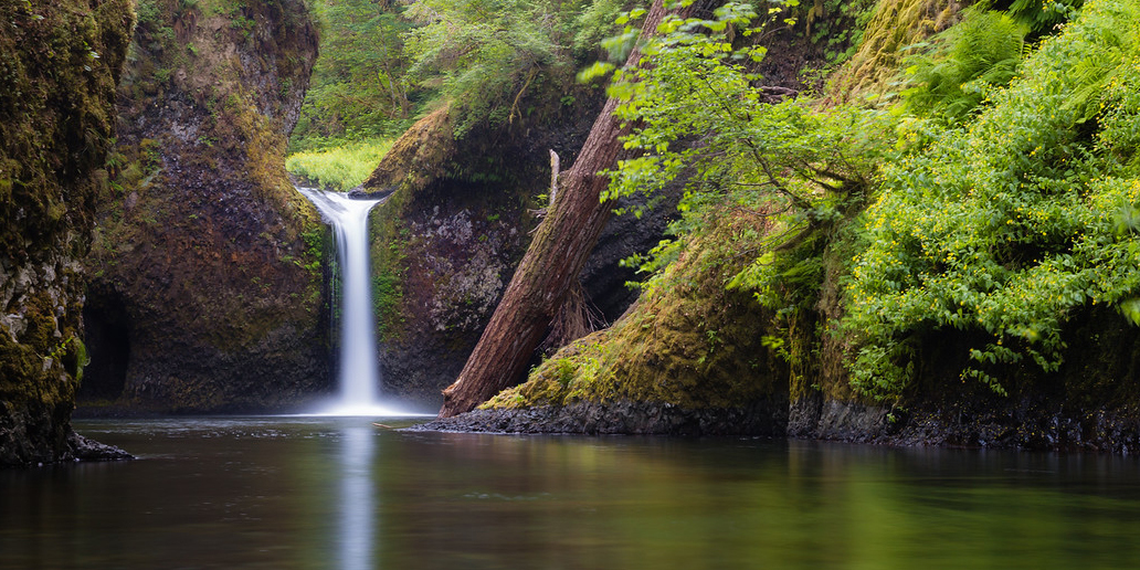
View from Punch Bowl Falls Overlook along Eagle Creek trail. Photo by Jeremiah Leipold.

Moderate

Eagle Creek to High Bridge

6.2 miles • 970 feet •

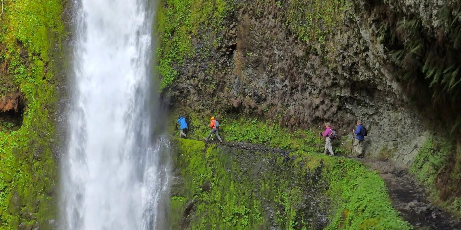
Punch Bowl Falls. Photo by Margot Kelley.

Easy

Eagle Creek to Punch Bowl Falls

3.8 miles • 600 feet •

Hiking behind Tunnel Falls. (photographer: Debbie Asakawa)
back through Tunnel Falls

Expert

Eagle Creek to Tunnel Falls

12 miles • 1,640 feet •

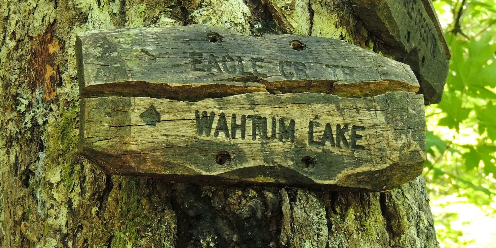
A sign along the Eagle Creek trail points the way to Wahtum Lake. Photo by Debbie Asakawa.

Expert

Eagle Creek to Wahtum Lake

25.5 miles • 5,210 feet •

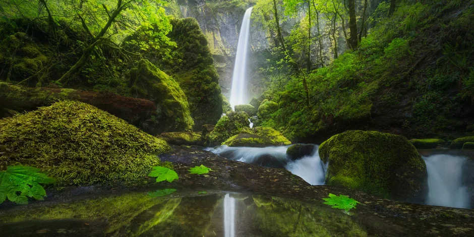
Elowah Falls and its reflection. Photo by Matt Meisenheimer.
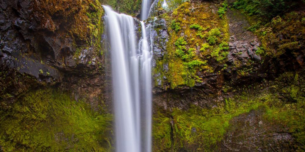

Moderate

Elowah Falls

1.5 miles • 260 feet •

Autumnal shot of Falls Creek Falls. Photo by Cate Hotchkiss.
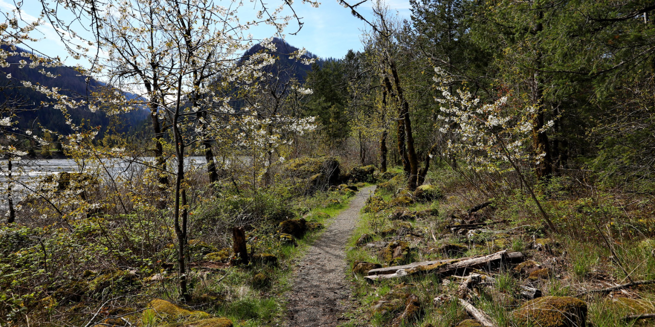

Easy

Falls Creek Falls

3.4 miles • 750 feet •

Springtime view along the Fort Cascades loop trail. Photo by Micheal Drewry.
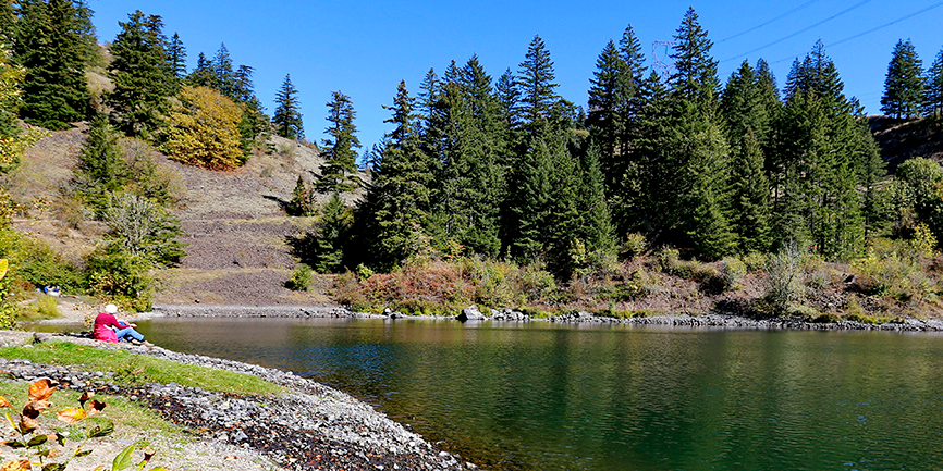

Easy

Fort Cascades Loop

1.5 miles •

Resting at Gillette Lake. Photo by Micheal Drewry.
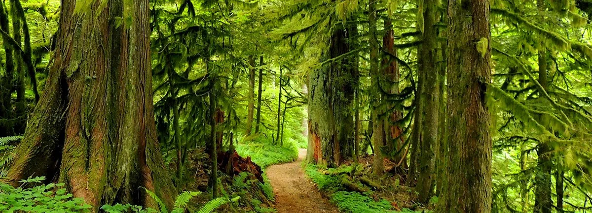

Moderate

Gillette Lake

5.4 miles • 850 feet •

View on Green Point Ridge trail. Photo by Debbie Asakawa.
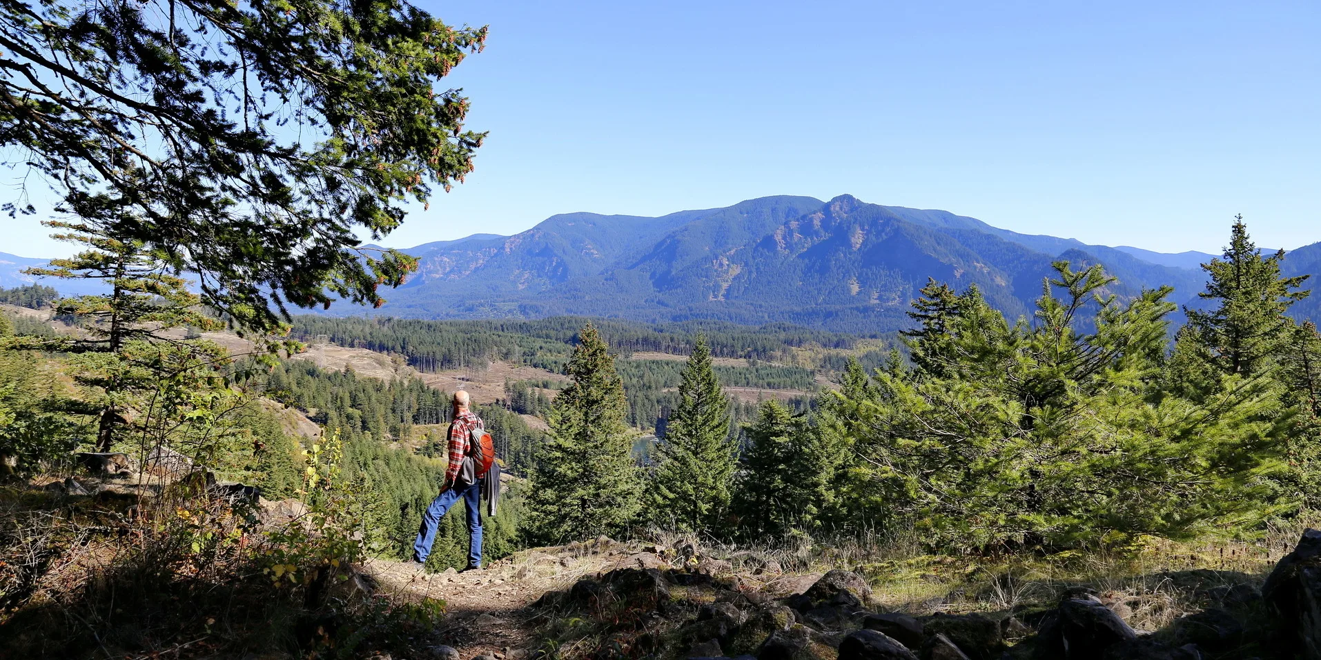

Expert

Green Point Ridge

15 miles • 5,000 feet •

Take the Pacific Crest Trail to Greenleaf Overlook. Photo by Micheal Drewry.
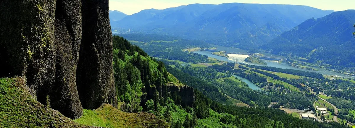

Moderate

Greenleaf Overlook

8.8 miles • 800 feet •

View from the Hamilton Mountain trail. Photo by Debbie Asakawa.
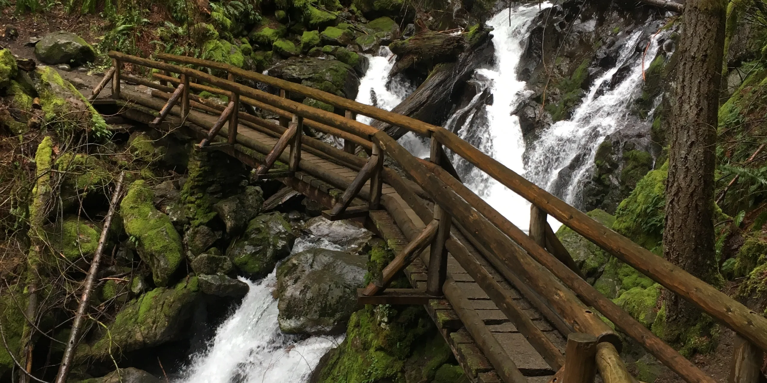

Strenuous

Hamilton Mountain Loop

7.6 miles • 2,100 feet •

Hardy Falls. Photo by Lynette Roberts.
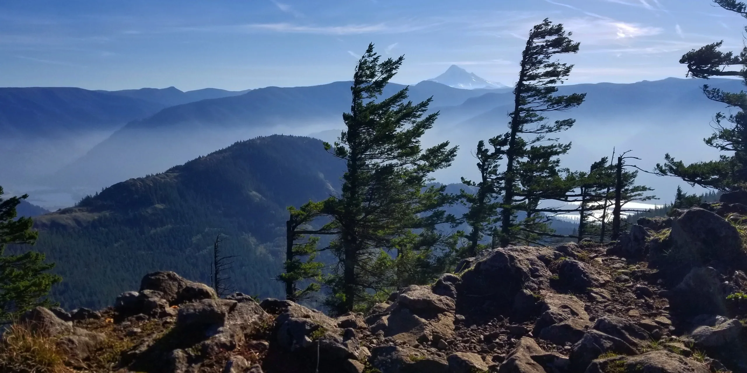

Easy

Hardy Falls and Rodney Falls

2.5 miles • 440 feet •

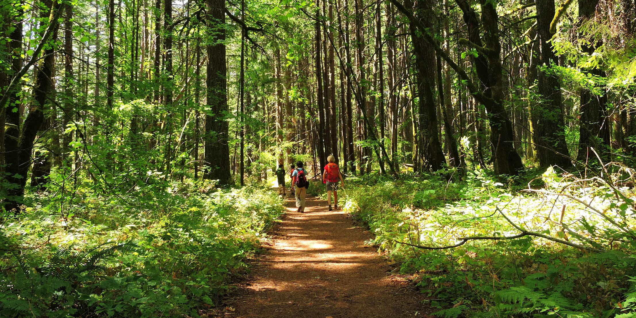
View from Hardy Ridge Trail. Photo by Katie Pikes.

Strenuous

Hardy Ridge Loop

9 miles • 2,000 feet •

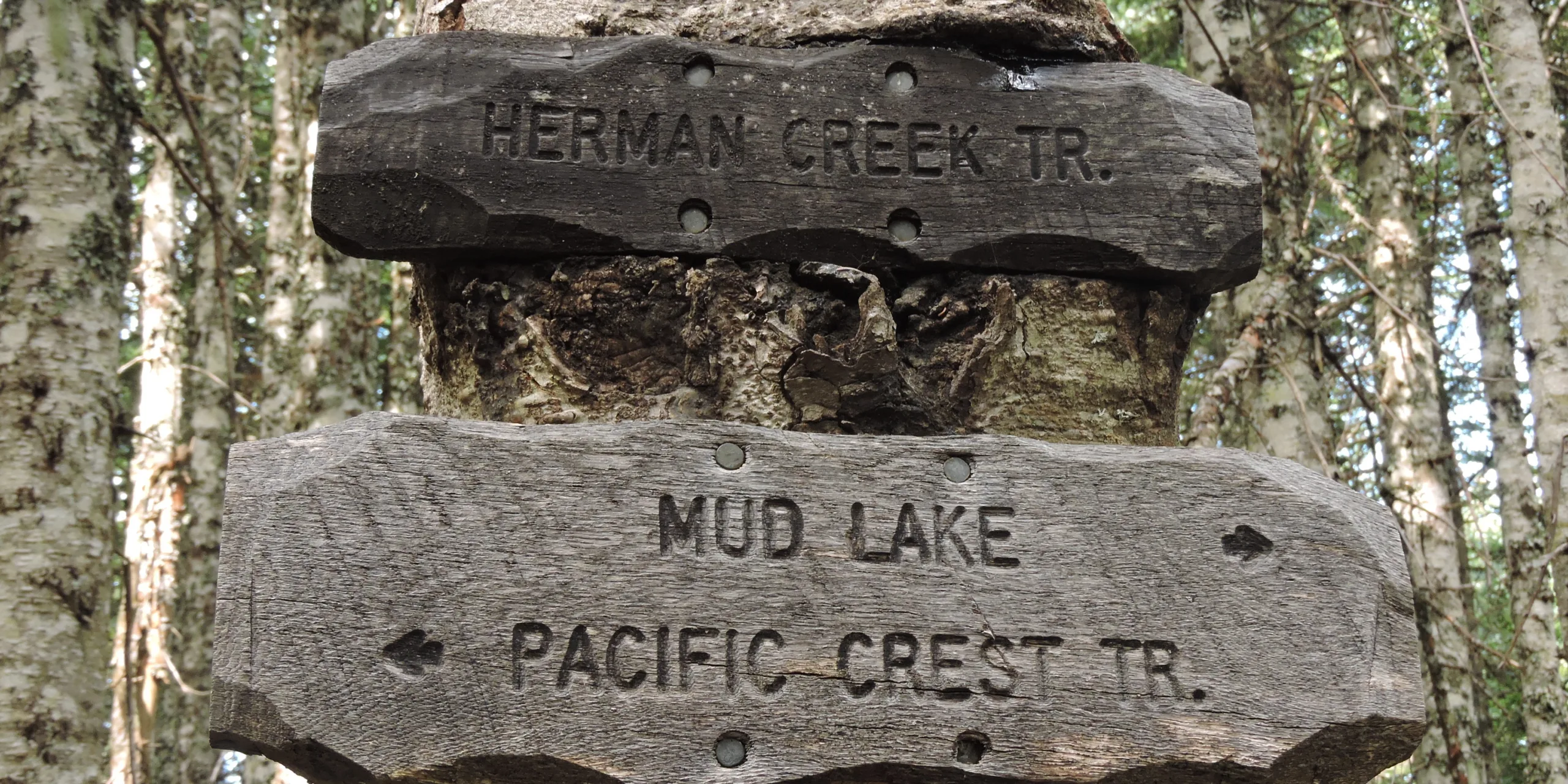
On the Herman Creek Trail. Photo by Debbie Asakawa.

Strenuous

Herman Creek to Casey Creek

8 miles • 2,000 feet •

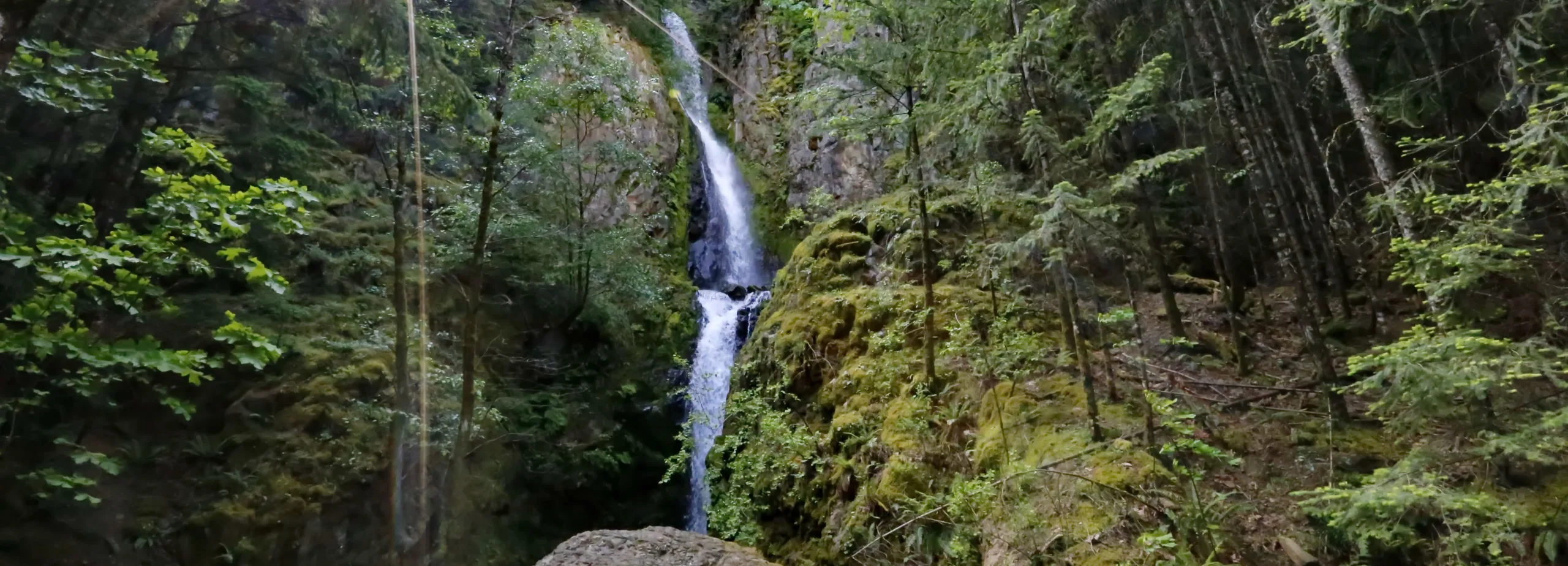
Herman Creek. Photo by Debbie Asakawa.

Expert

Herman Creek to Mud Lake

18 miles • 4,564 feet •

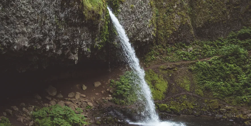
Hole-in-the-Wall Falls. Photo by Micheal Drewry.

Easy

Hole-in-the-Wall Falls

1.2 miles • 100 feet •

Ponytail Falls. Photo by Leighandra Rater.
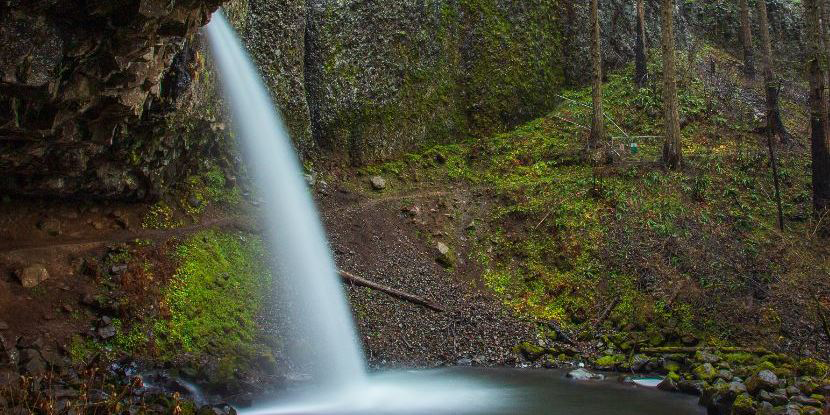

Easy

Horsetail Falls Loop

2.5 miles • 660 feet •

Ponytail Falls. Photo by Cate Hotchkiss.
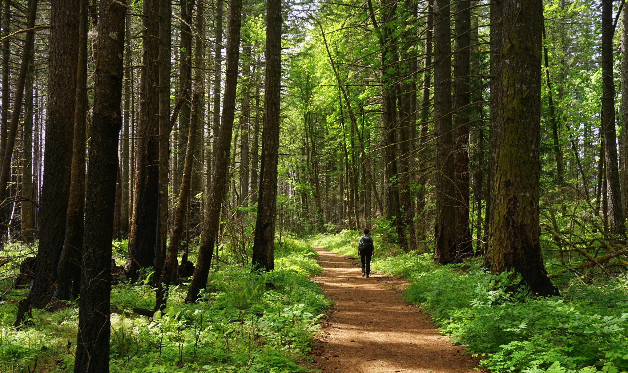

Moderate

Horsetail, Ponytail, & Triple Falls

3.6 miles • 1,446 feet •

Gorge resilience post-Eagle Creek fire on display on the Indian Point loop trail. Photo by Debbie Asakawa.
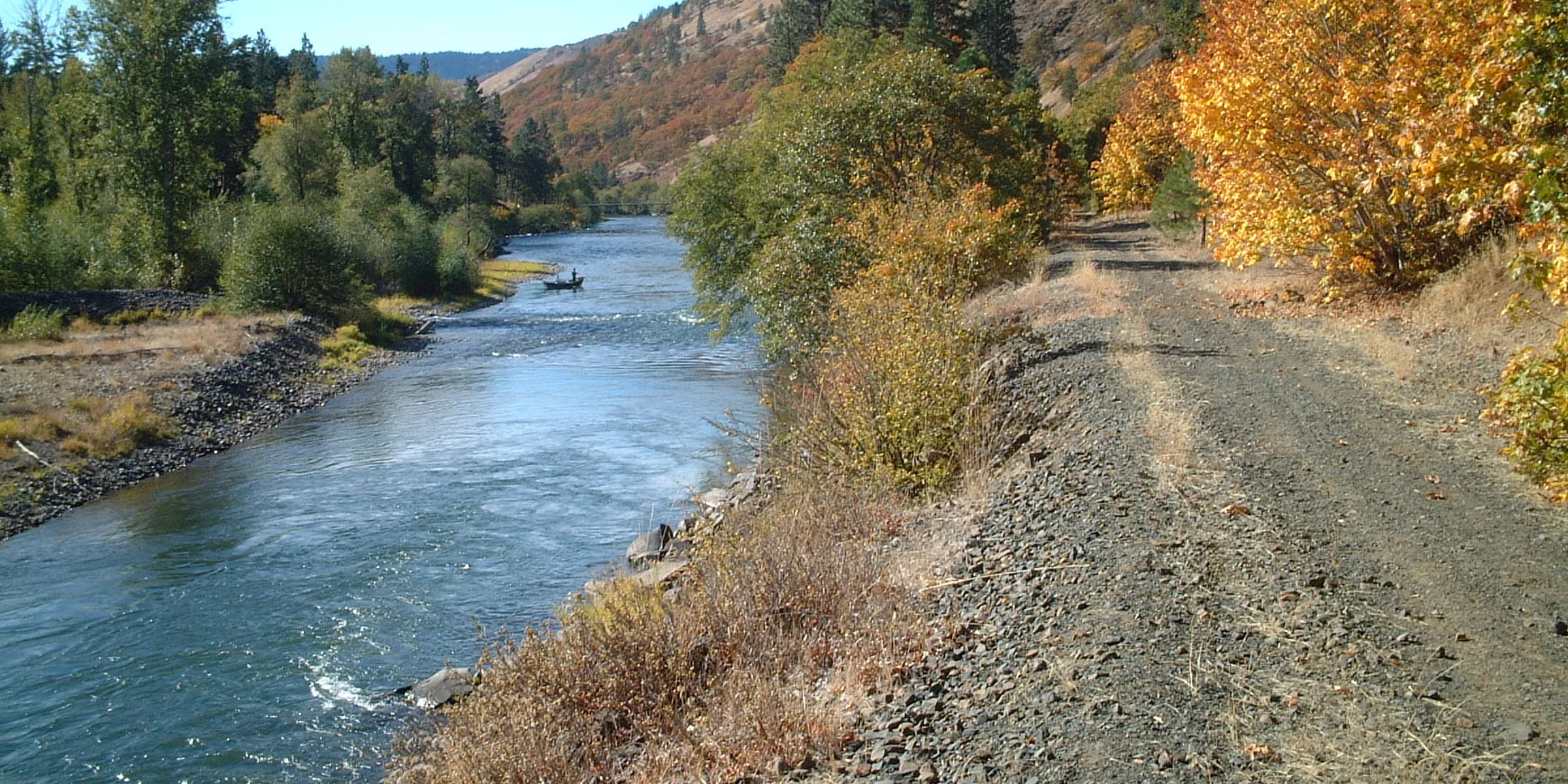

Strenuous

Indian Point Loop

7.6 miles • 2,800 feet •

Klickitat Trail. Photo by David Melody.
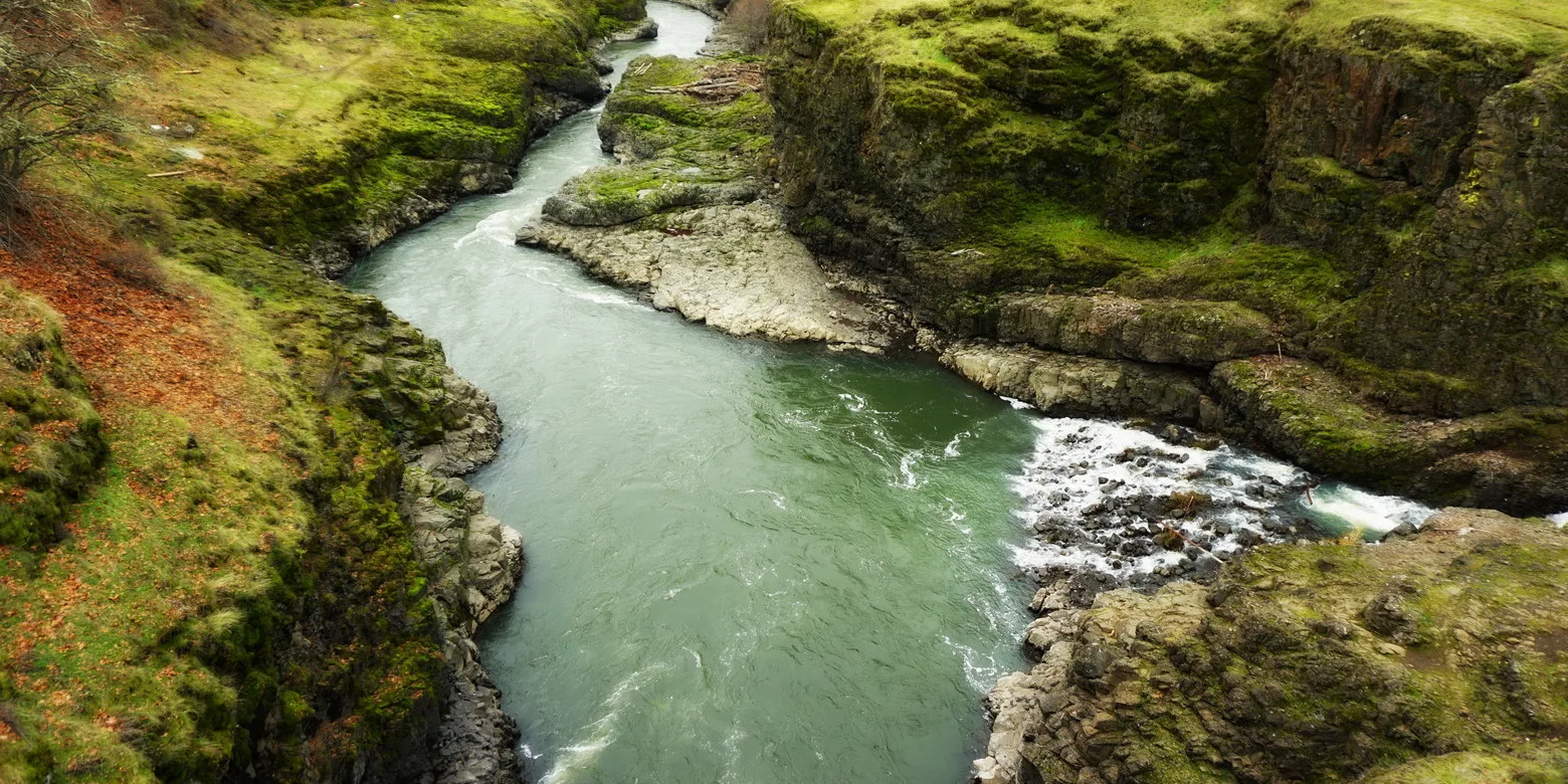

Easy

Klickitat Trail – Fisher Hill to Klickitat

22.8 miles • 315 feet •

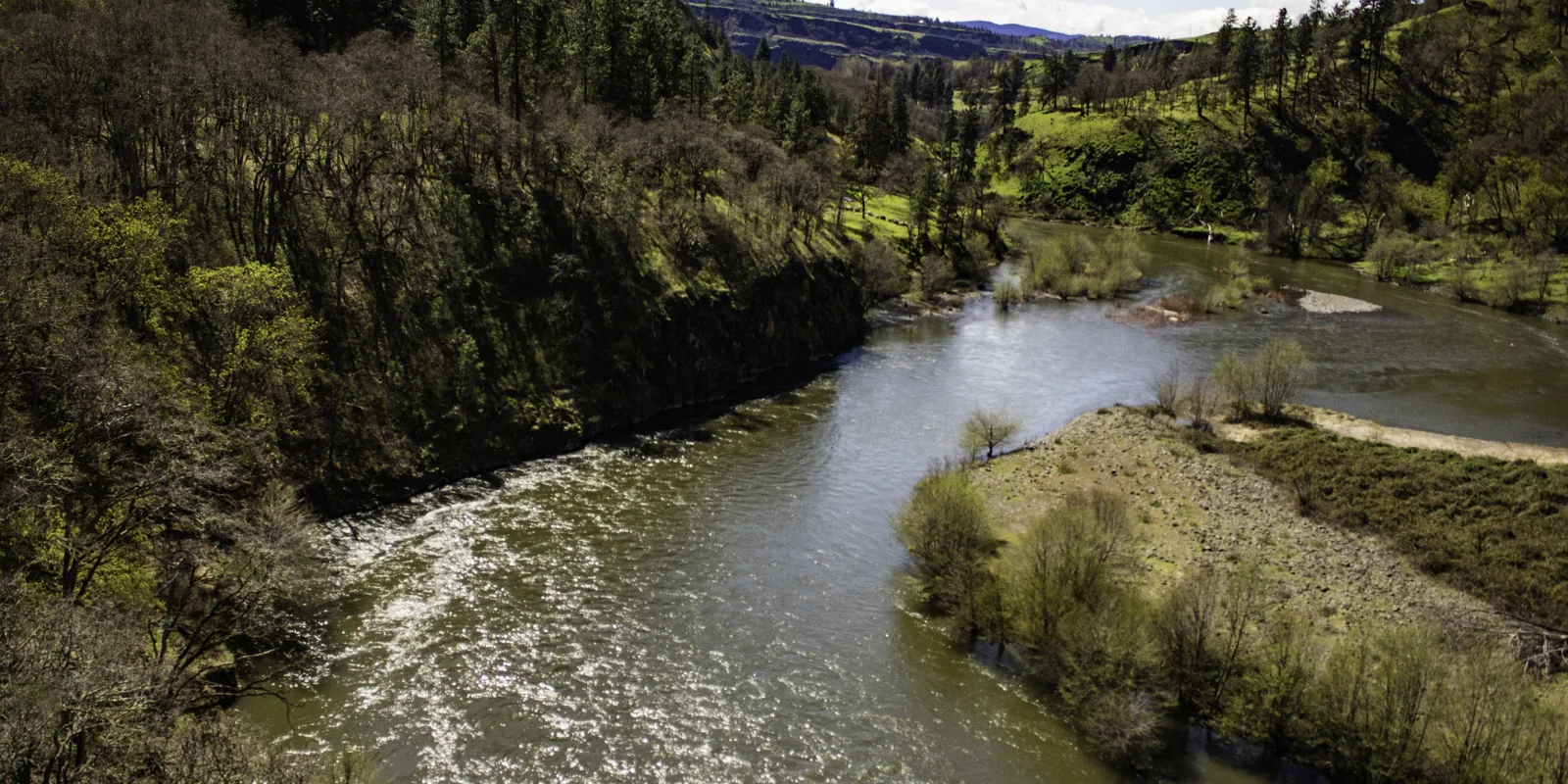
Looking down at the Klickitat River on the trail from Fisher Hill to Pitt. Photo by Debbie Asakawa.

Easy

Klickitat Trail – Fisher Hill to Pitt

17 miles • 220 feet •

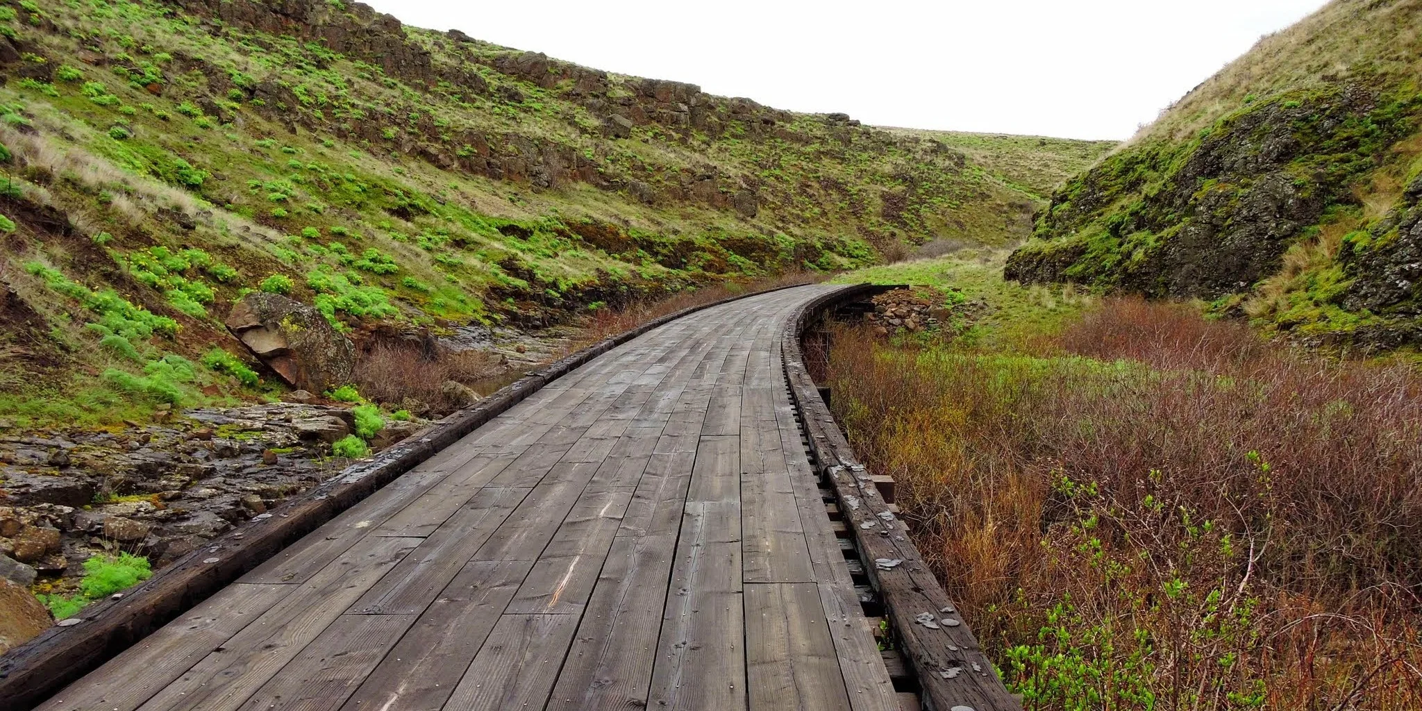
Klickitat River in spring. Photo by Barbara Robinson.

Moderate

Klickitat Trail – Lyle to Fisher Hill

3.2 miles • 100 feet •

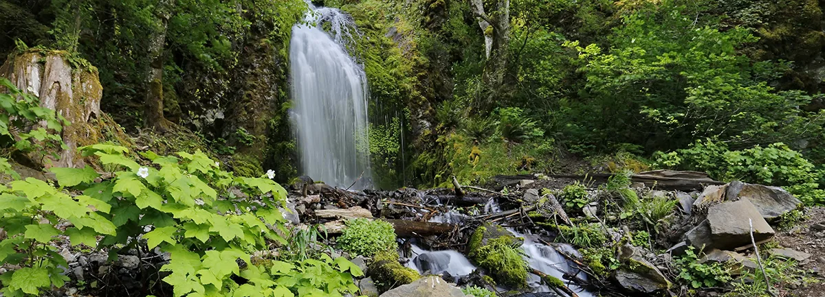
Crossing a former railroad trestle along the Klickitat Trail. Photo by Debbie Asakawa.

Moderate

Klickitat Trail – Swale Canyon

10.2 miles • 826 feet •

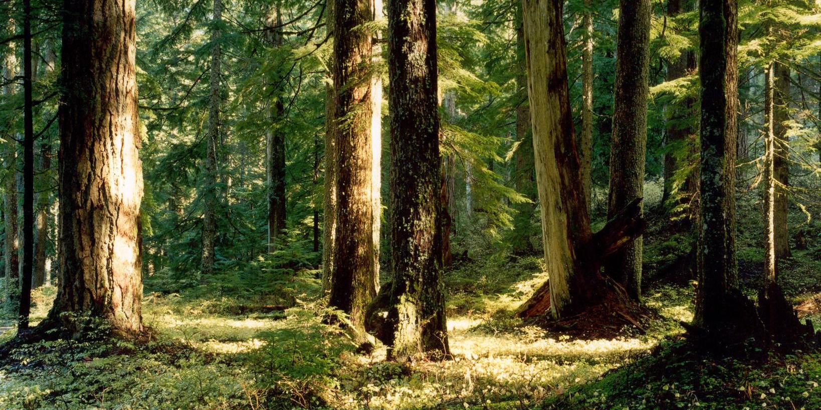
Lancaster Falls. Photo by Micheal Drewry.

Easy

Lancaster Falls

1.6 miles • 100 feet •

Old growth forest on Larch Mountain. Photo by Oliver Dalton.

Moderate

Larch Mountain Crater Loop

6 miles • 1,260 feet •

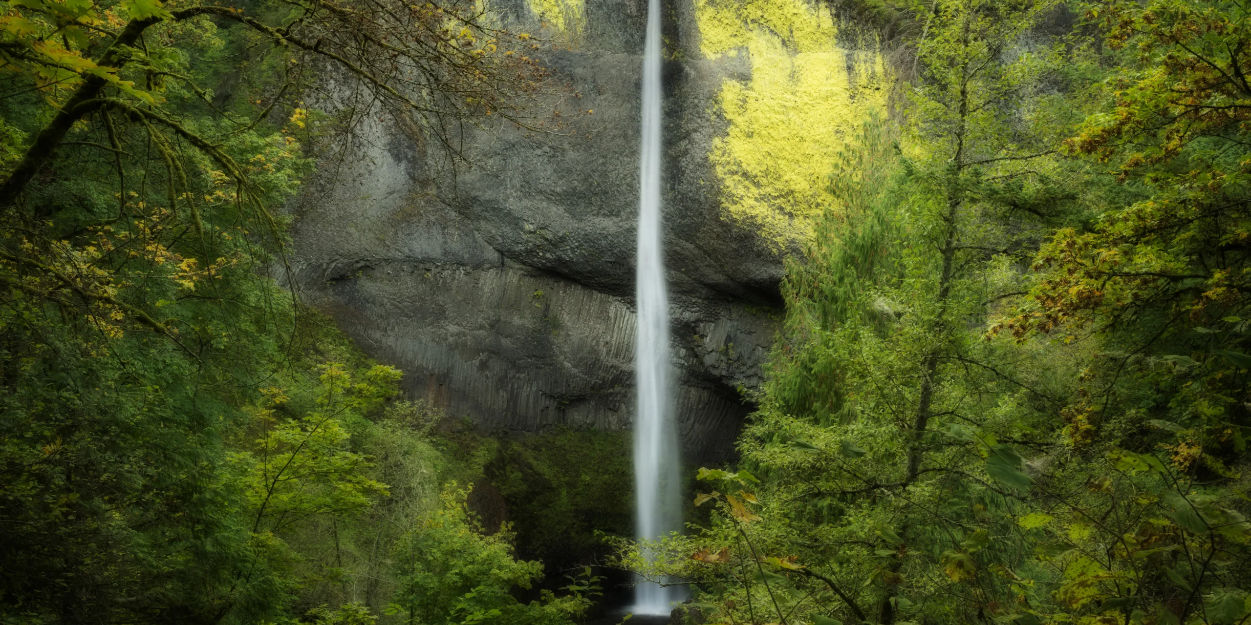
Lower Latourell Falls. Photo by Gary Quay.

Moderate

Latourell Falls Loop

2.4 miles • 600 feet •

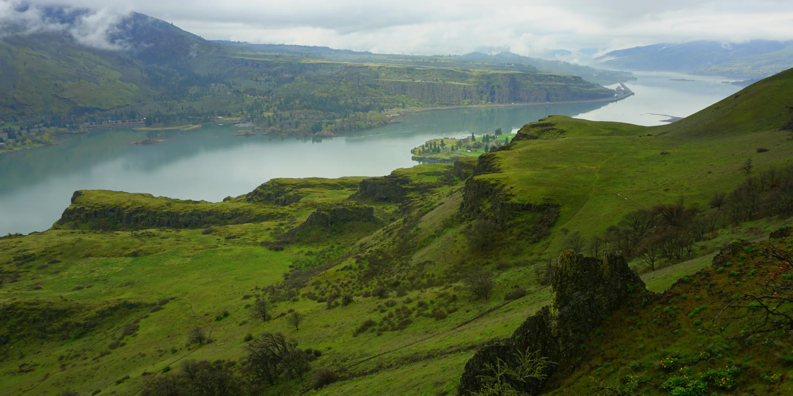
April showers bring out the deep greens at Lyle Cherry Orchard. Photo by Debbie Asakawa.

Strenuous

Lyle Cherry Orchard – PRESERVE CLOSED

6.5 miles • 1,100 feet •

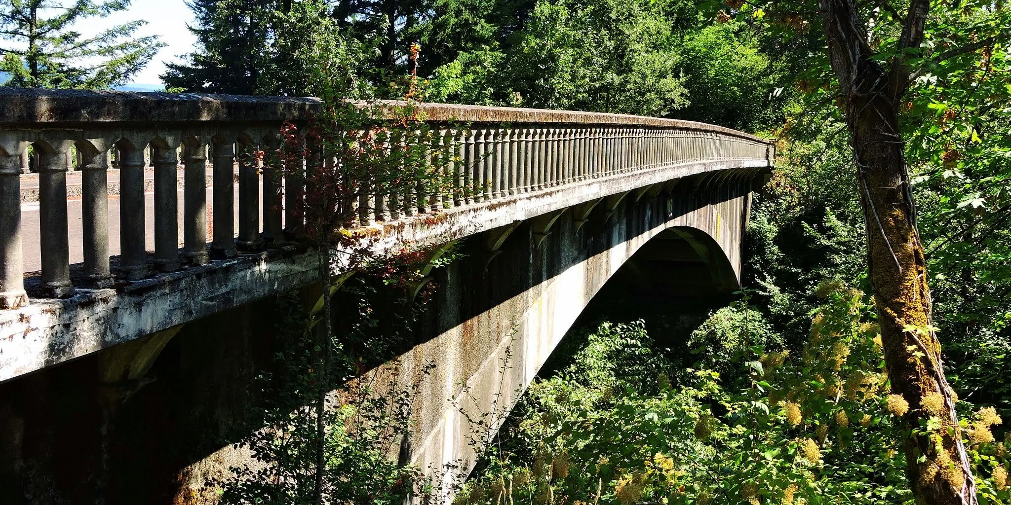
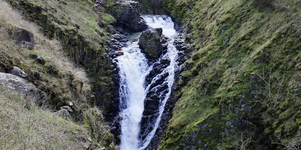
One of the several bridges you can walk or bike across along the paved Historic Columbia River Highway State Trail. Photo by Debbie Asakawa.
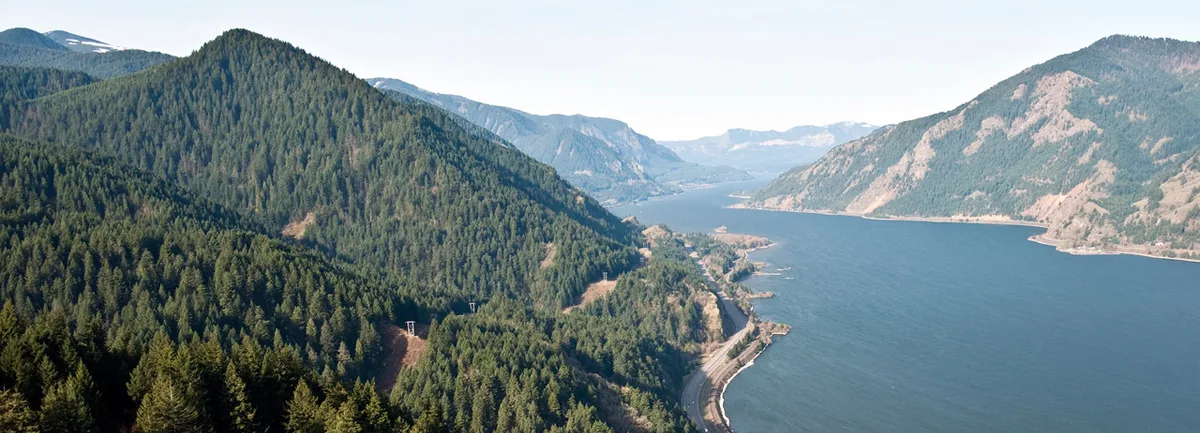
View from Mitchell Point. Photo by Greg Lief.

Strenuous

Mitchell Point

2.6 miles • 1,270 feet •

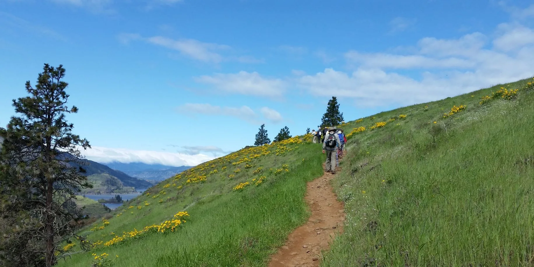
Mosier Creek Falls. Photo by Micheal Drewry.

Easy

Mosier Creek Falls

1 mile • 200 feet •

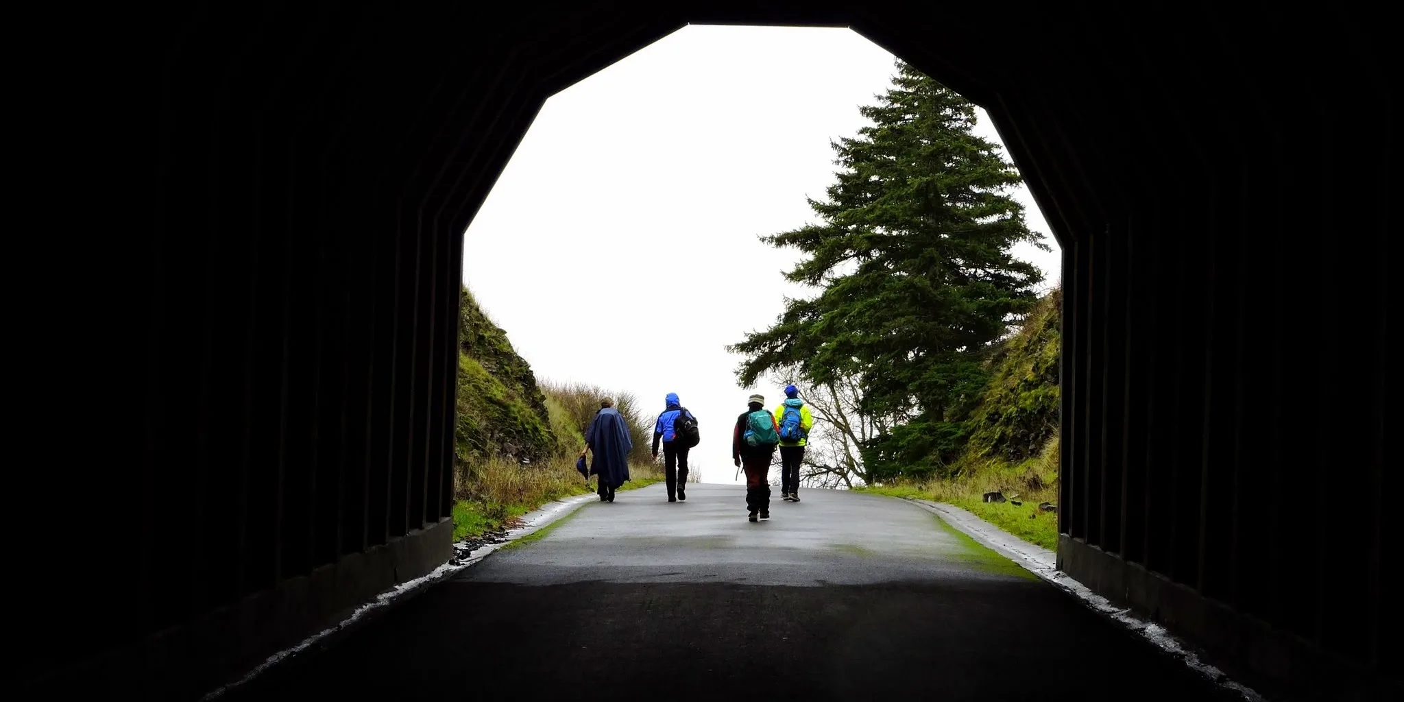
On the trail up Mosier Plateau. Photo by Anna Leung.

Easy

Mosier Plateau

3.5 miles • 600 feet •

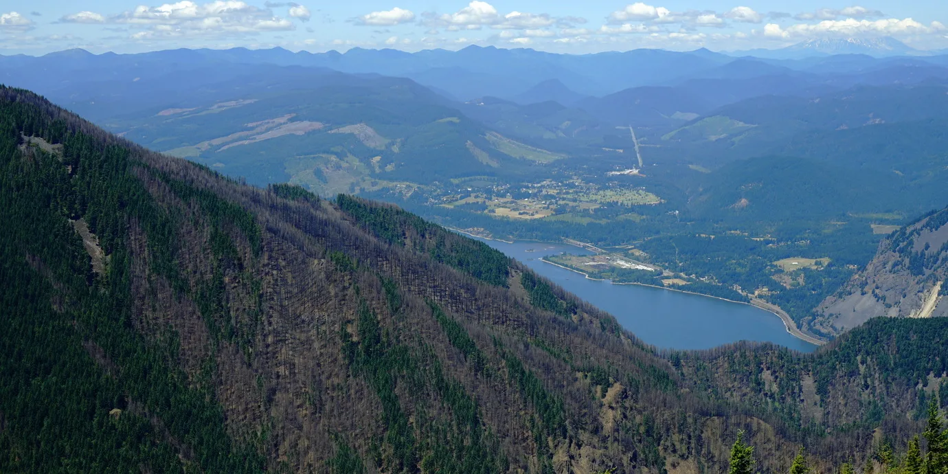
Exiting a tunnel on the Mosier Twin Tunnels trail. Photo by Debbie Asakawa.

Easy

Mosier Twin Tunnels

9 miles • 430 feet •

View from Mt. Defiance trail, one year after the 2017 Eagle Creek fire. Photo by Debbie Asakawa.
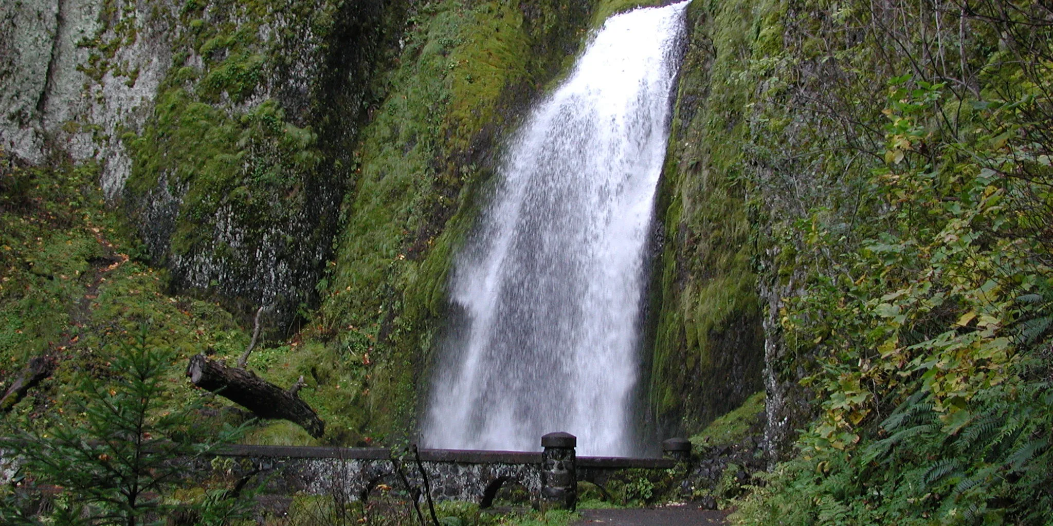
Expert

Mount Defiance

10 miles • 4,960 feet •

Wahkeena Falls. Photo from Friends' archive.
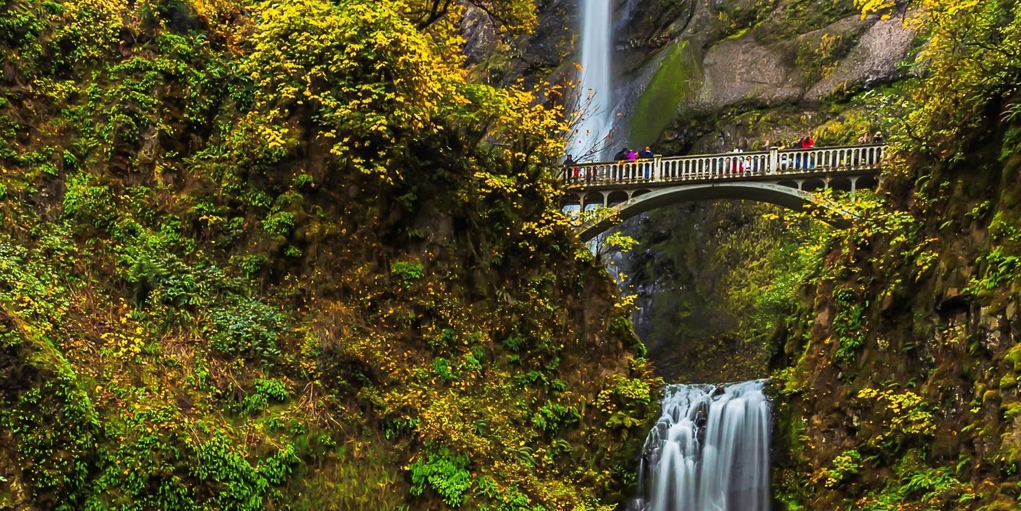

Moderate

Multnomah – Wahkeena Falls Loop

4.6 miles • 1,700 feet •

Autumn colors frame Benson Bridge and Multnomah Falls. Photo by Mike Bracy.
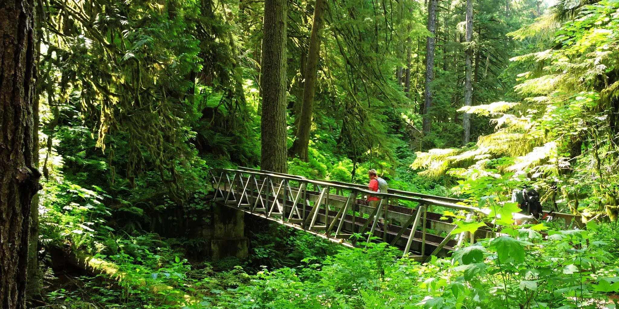

Easy

Multnomah Falls

2.4 miles • 800 feet •

Bridge over Multnomah Creek on the trail to Franklin Ridge. Photo by Debbie Asakawa.
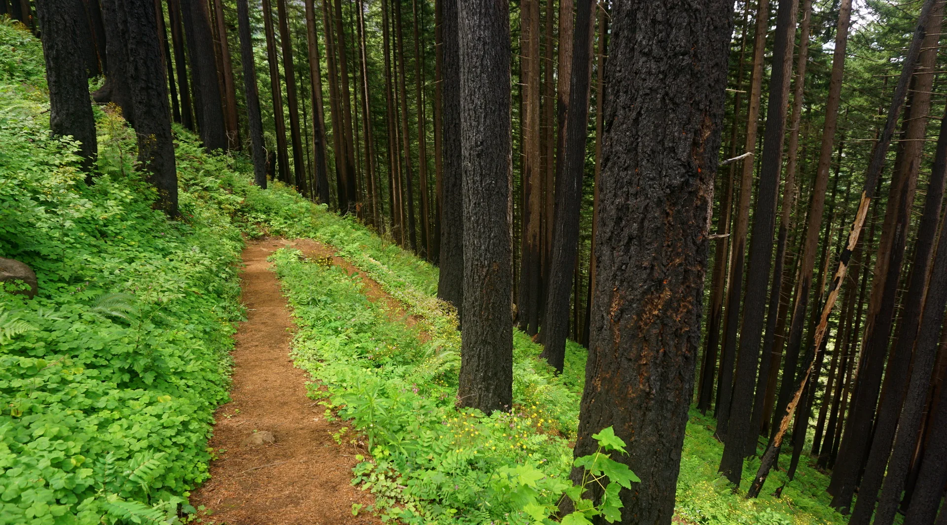

Expert

Multnomah Falls – Franklin Ridge Loop

11 miles • 3,400 feet •

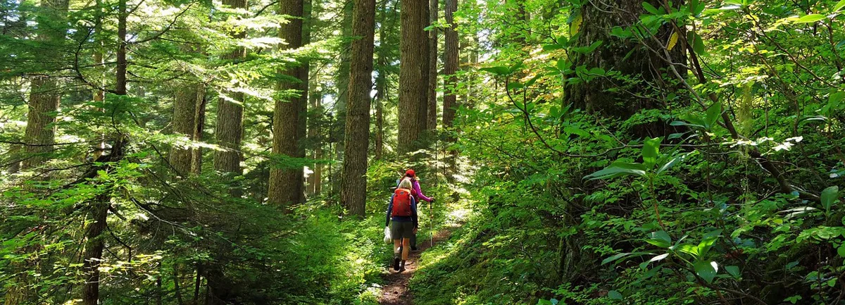
Post-Eagle Creek fire regeneration along trail to Devil's Rest. Photo by Debbie Asakawa.
Strenuous

Multnomah Falls to Devil’s Rest

8.4 miles • 2,368 feet •

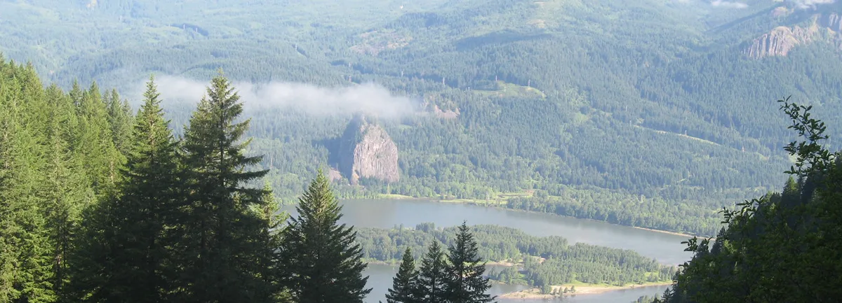
On the Larch Mountain trail. Photo by Debbie Asakawa.

Expert

Multnomah Falls to Larch Mountain via Oneonta Trail

17.2 miles • 4,400 feet •

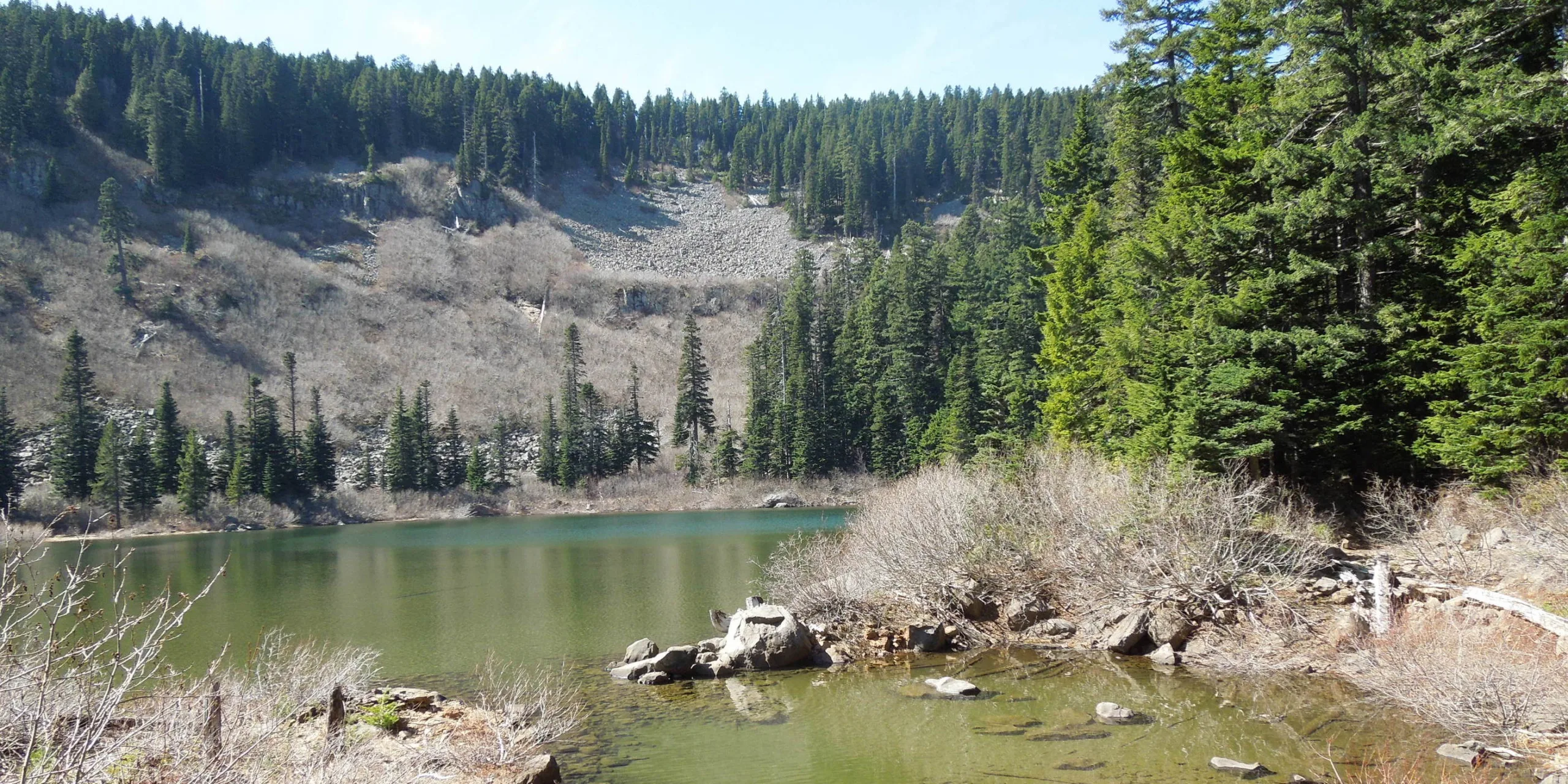
View from the Nesmith Trail. Photo by Paul Freeman.

Expert

Nesmith Point

10.2 miles • 3,700 feet •

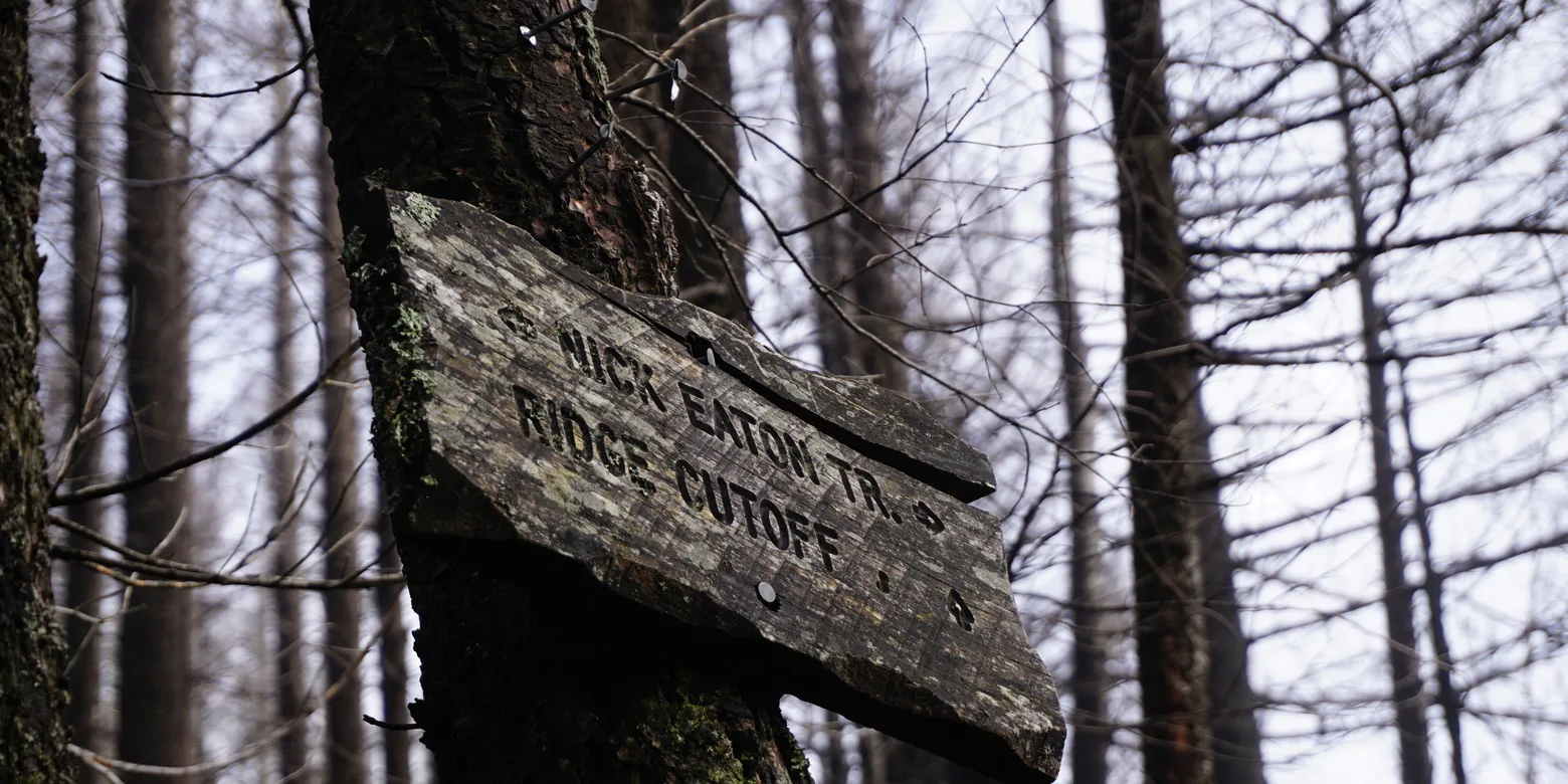
A trail sign points the way to Nick Eaton Ridge. Photo by Debbie Asakawa.

Expert

Nick Eaton Ridge Loop

12.5 miles • 4,600 feet •

North Lake. Photo by Kate Harbour.

Expert

North Lake

11 miles • 4,240 feet •
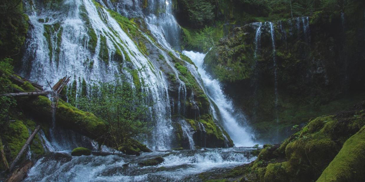
Lower Oneonta Falls. Photo by Jeremiah Leipold.

Easy

Oneonta Gorge to Lower Oneonta Falls

0.6 miles • 400 feet •

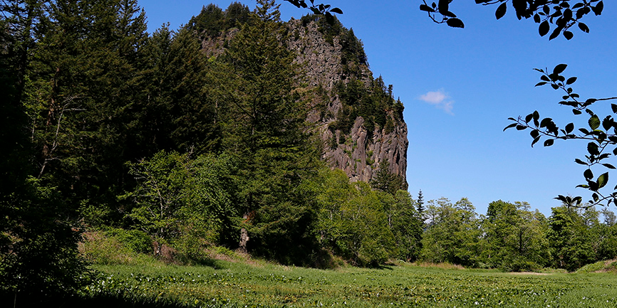
Panther Creek Falls. Photo by Leighandra Rater.

Easy

Panther Creek Falls

0.4 miles • 200 feet •

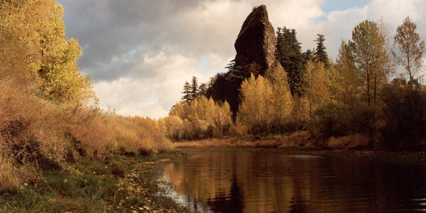
View of Beacon Rock from the River-to-Rock trail. Photo by Michael Drewry.

Easy

River-to-Rock

1.5 miles • 272 feet •

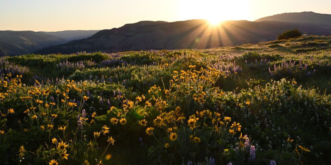
Autumn colors on the slough west of Rooster Rock. Photo by Oliver Dalton.

Easy

Rooster Rock Loop

2.5 miles • 50 feet •

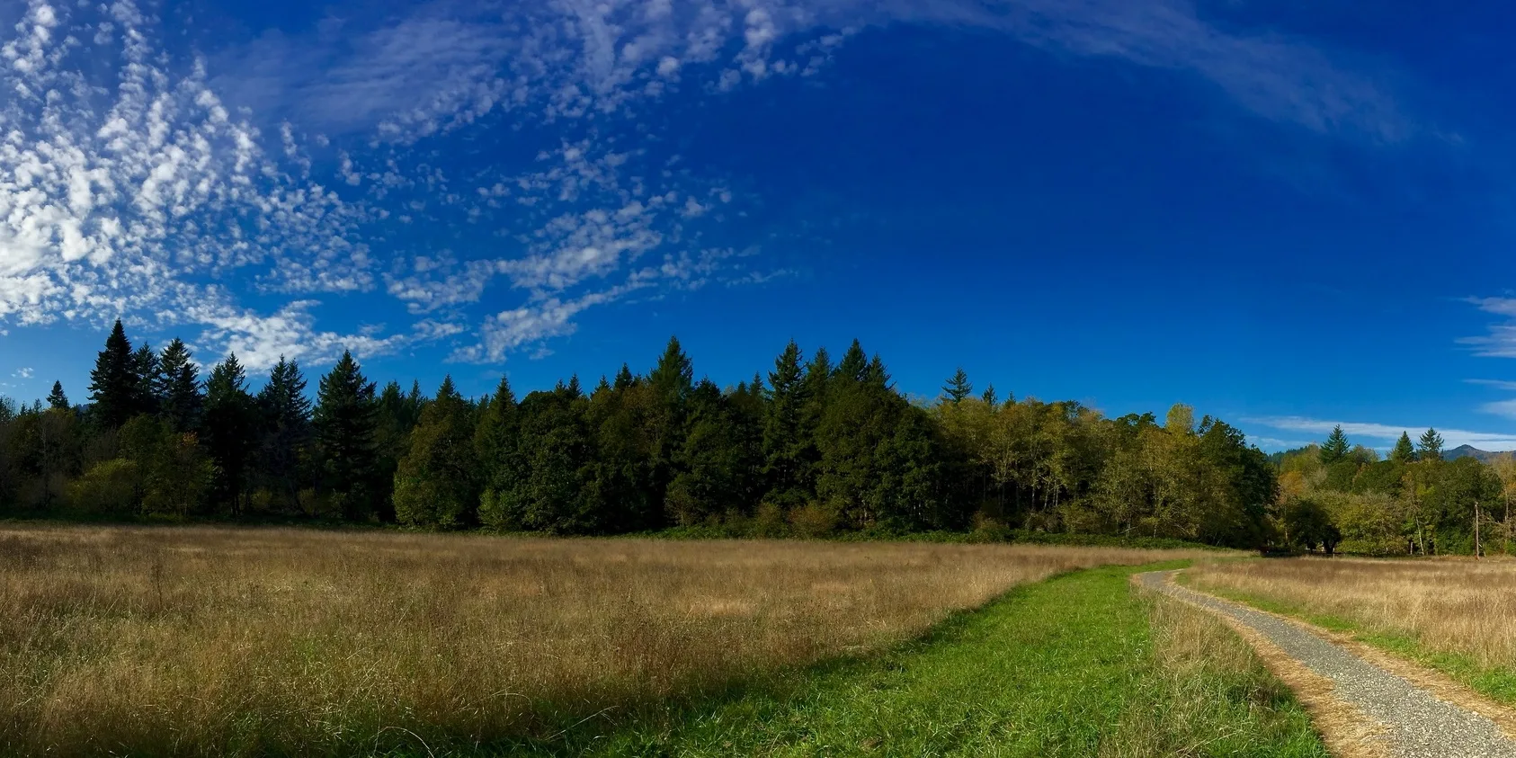
Spring sunrise at Rowena Plateau. Photo by Ed Cleary.

Easy

Rowena Plateau Loop

2 miles • 240 feet •

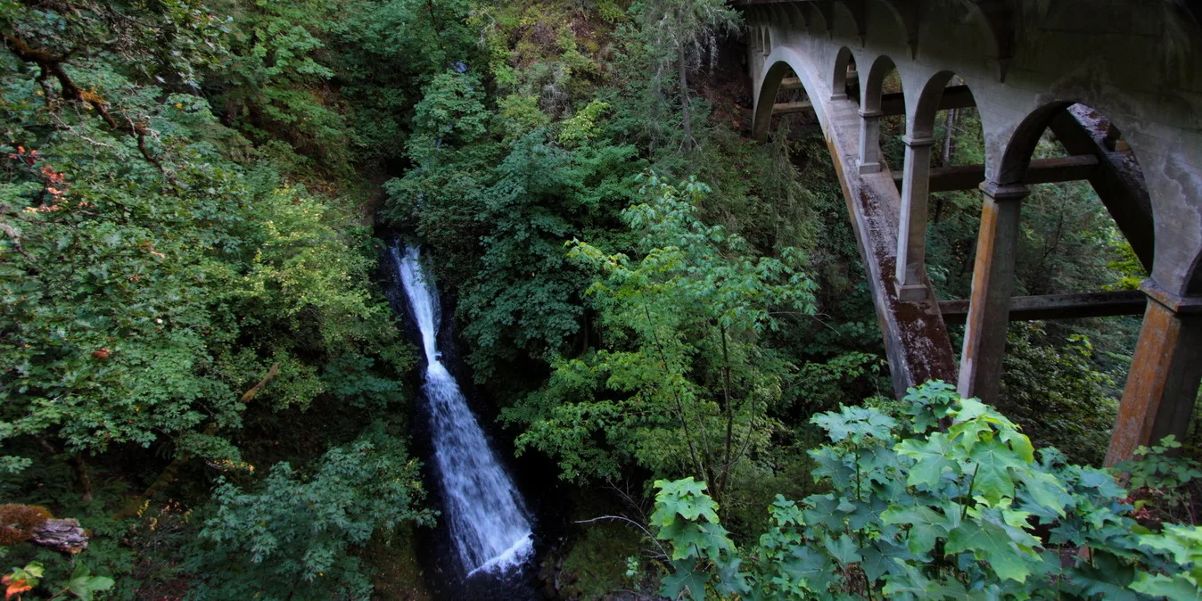
Sams Walker trail. Photo by Joan Amero.

Easy

Sams Walker Loop

1.1 miles • 50 feet •

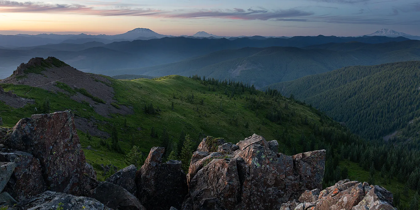
Shepperd's Dell Falls, next to its namesake bridge. Photo by Micheal Drewry.

Easy

Shepperd’s Dell Falls

0.2 miles •

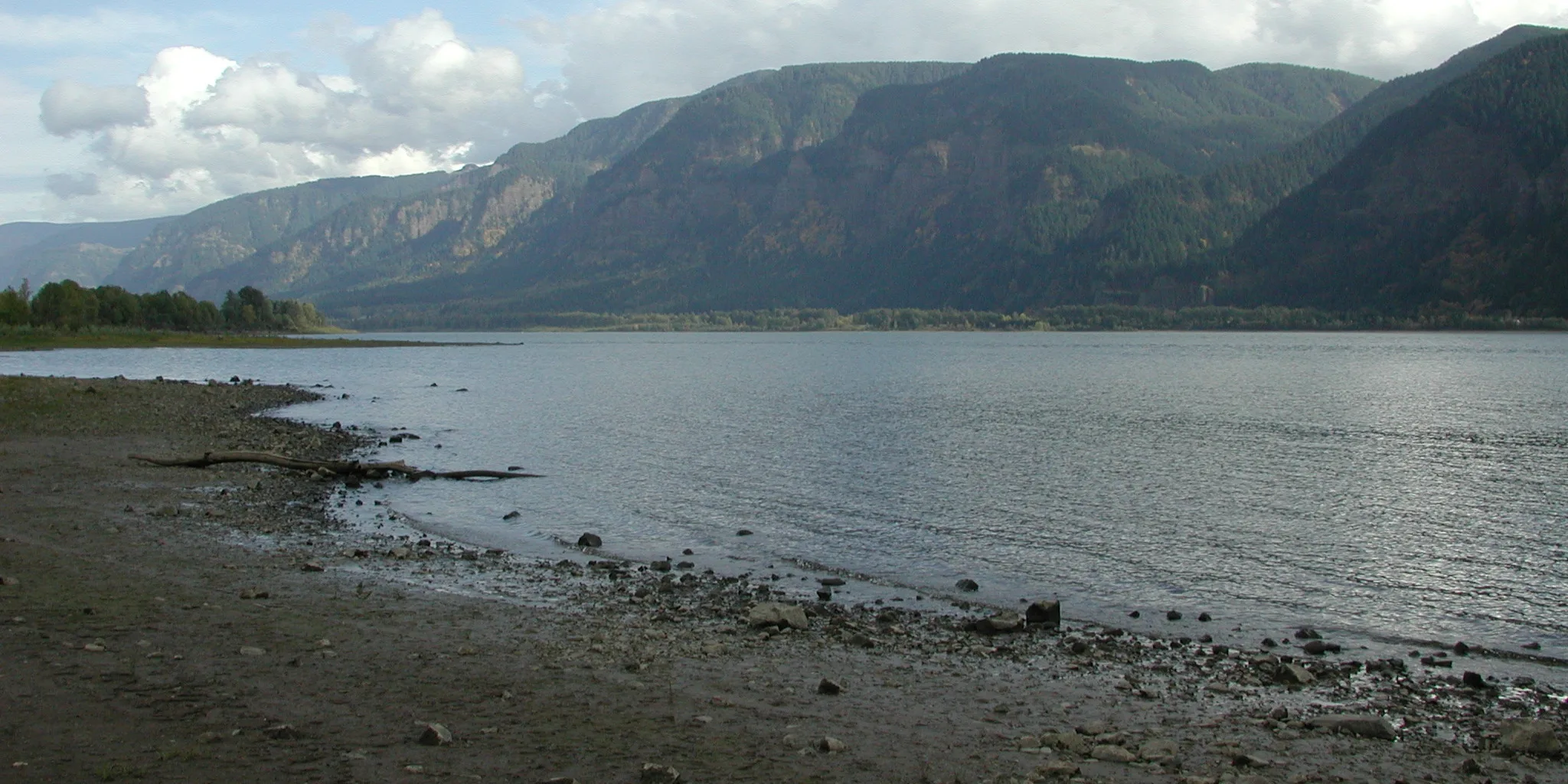
View from top of Silver Star Mountain. Photo by Matt Smith, Lenkerbrook Photography.

Moderate

Silver Star Mountain – Ed’s Trail Loop

5 miles • 1,500 feet •

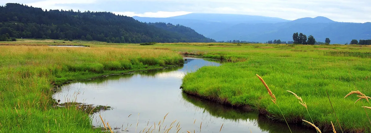
View of St. Cloud, Columbia River shore. Photo from Friends' archive.

Easy

St. Cloud Loop

0.5 miles •

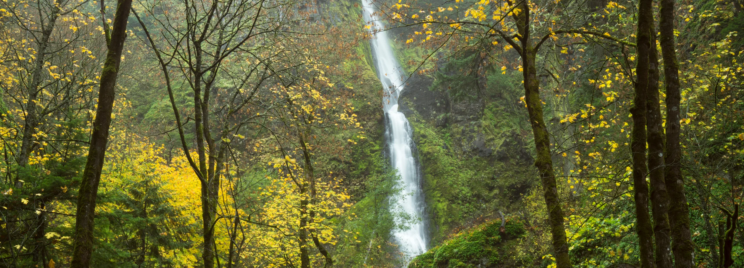
Starvation Creek Falls. Photo by Warren Morgan.

Easy

Starvation Creek Falls

0.1 miles •

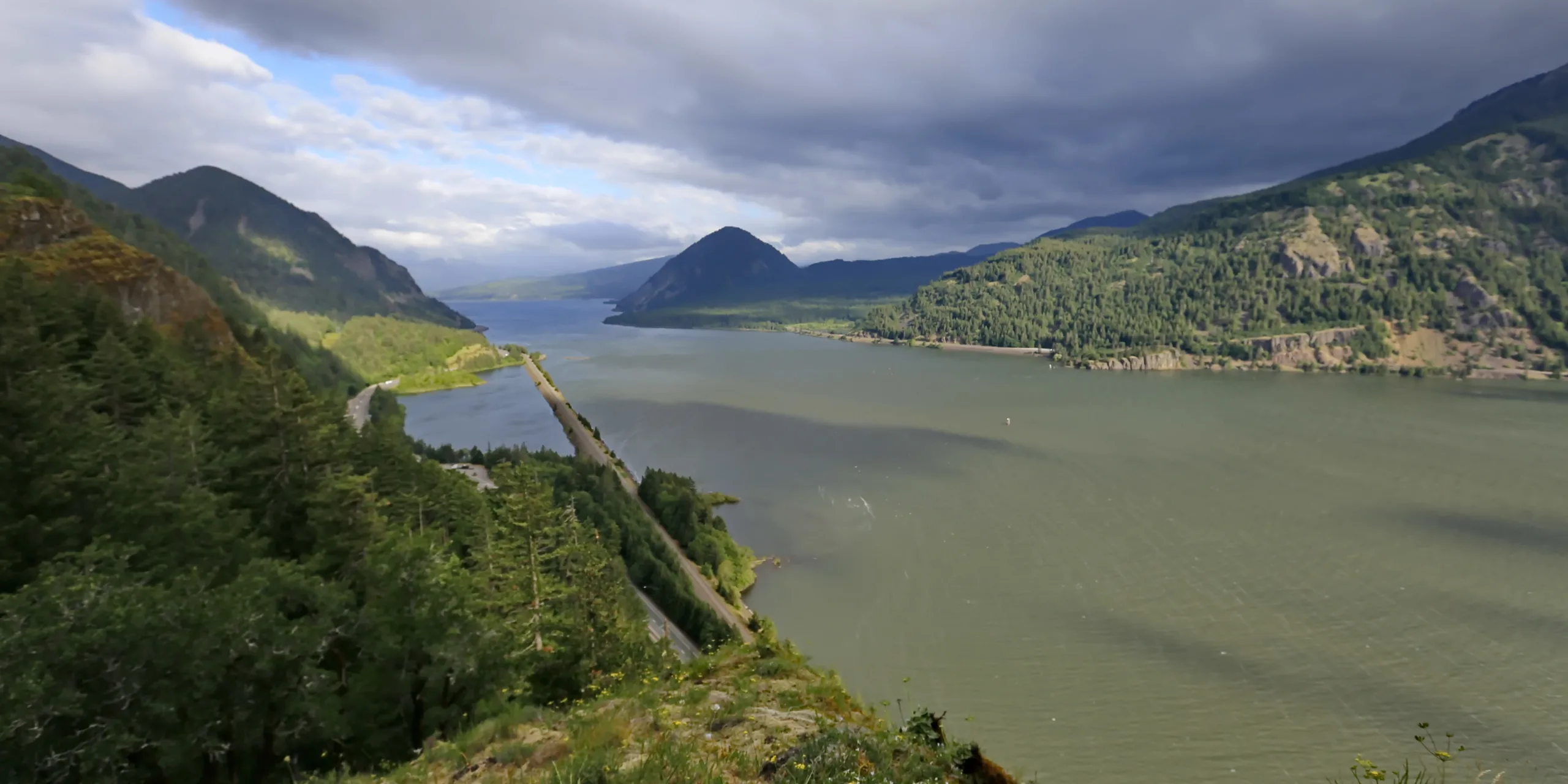
View of the Columbia River from Starvation Ridge trail. Photo by Micheal Drewry.

Moderate

Starvation Ridge Loop

2.5 miles • 700 feet •

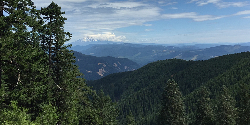
View from Starvation Ridge trail. Photo by Kate Lindberg.

Expert

Starvation Ridge to Warren Lake

11 miles • 4,000 feet •

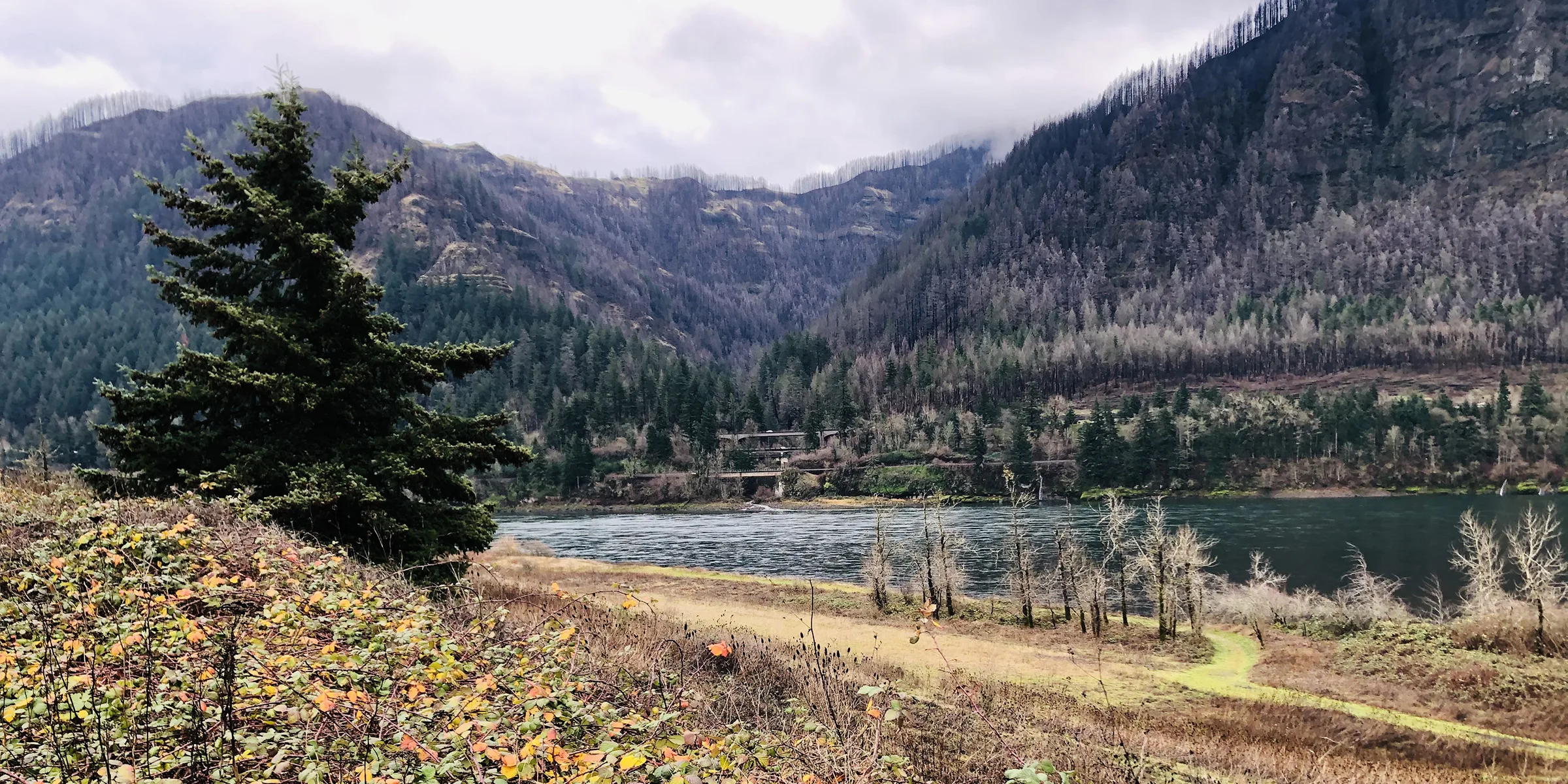
Steigerwald Lake. Photo by Debbie Asakawa.
Looking across the Columbia River to Oregon from Strawberry Island, Washington. Photo by Stan Hall.

Moderate

Strawberry Island Loop

4 miles • 150 feet •

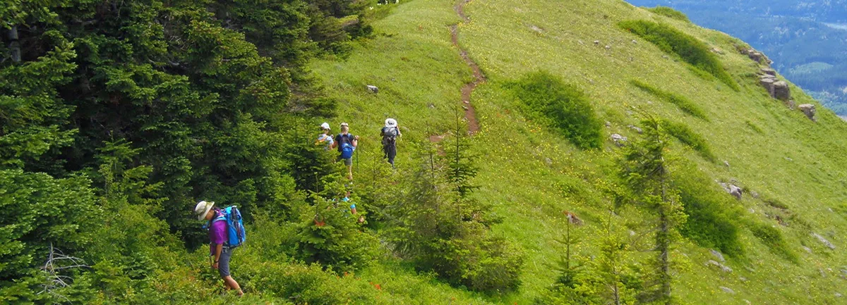
On trail from Table Mountain to Heartbreak Ridge. Photo by Debbie Asakawa.

Expert

Table Mountain – Heartbreak Ridge Loop

8 miles • 3,200 feet •

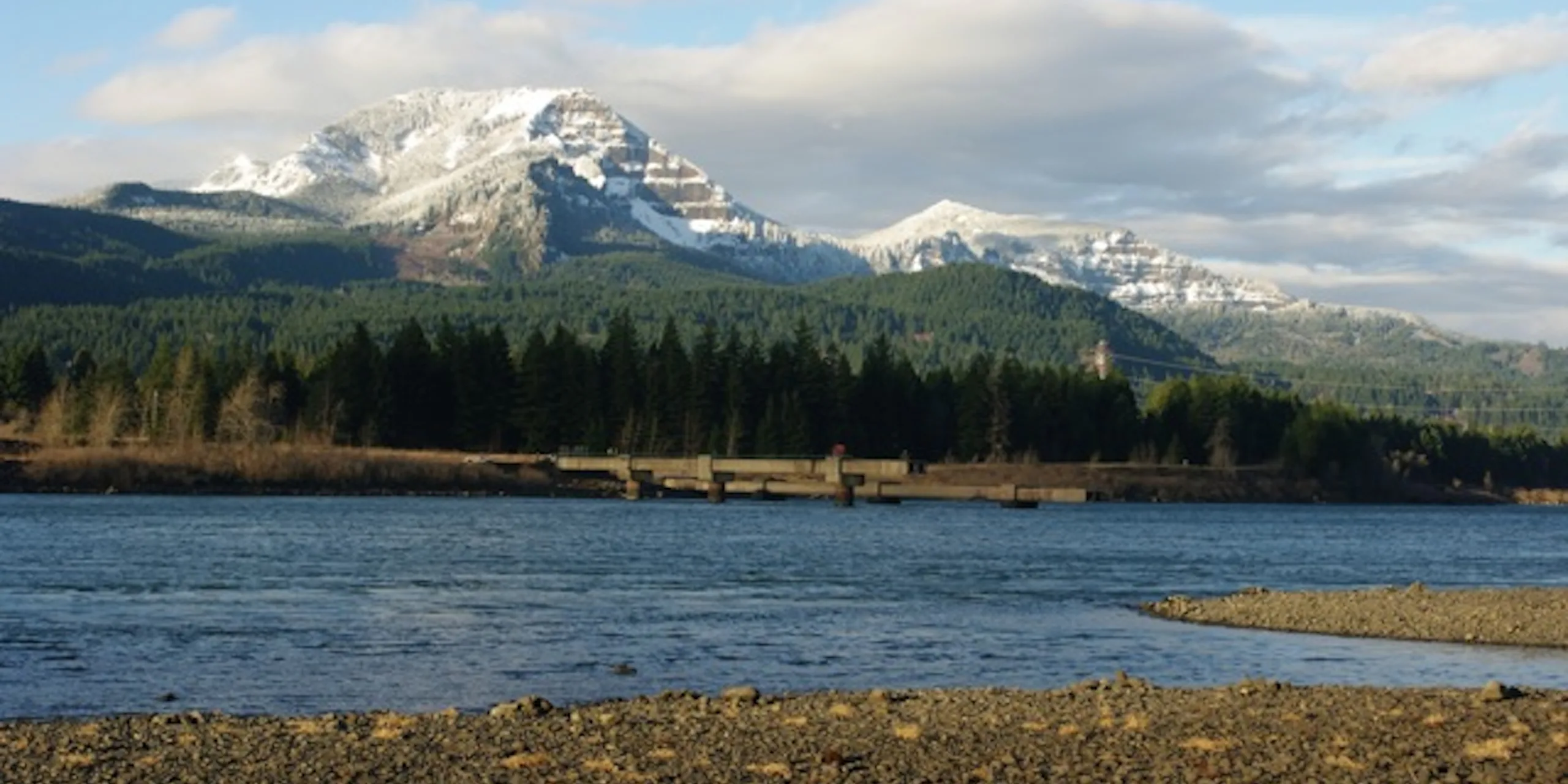
Table Mountain (left) viewed from Oregon side of Columbia River. Photo by Joe Urmos.

Expert

Table Mountain from Bonneville Trailhead

15.8 miles • 4,500 feet •

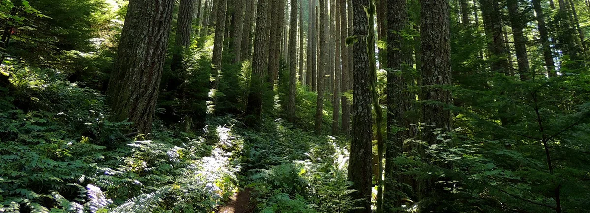
Into the forest on the trail to Tanner Butte. Photo by Debbie Asakawa.
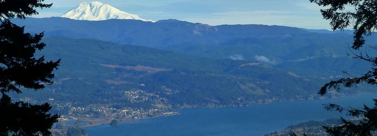

Expert

Tanner Butte

17 miles • 4,500 feet •

View from Tanner Ridge of Mt Adams. Photo by Karl E. Peterson.
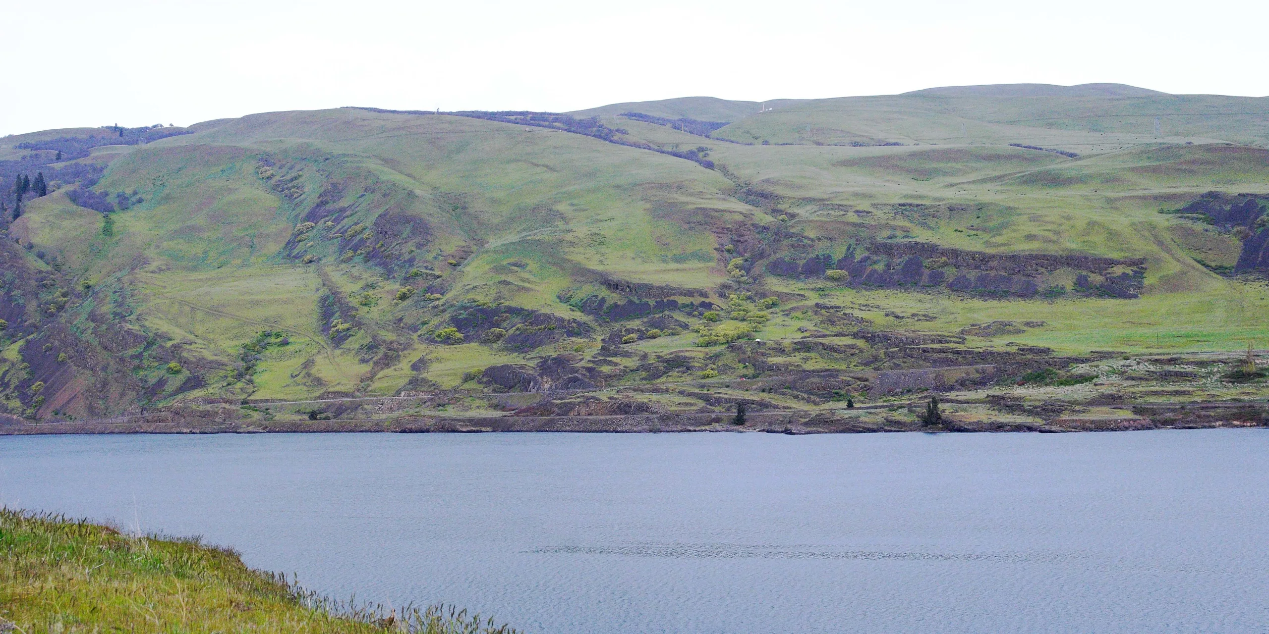

Expert

Tanner Ridge to Dublin Lake

13 miles • 3,600 feet •

View of the Columbia River and Columbia Hills from the The Dalles Riverfront Trail. Photo from Friends' archive.
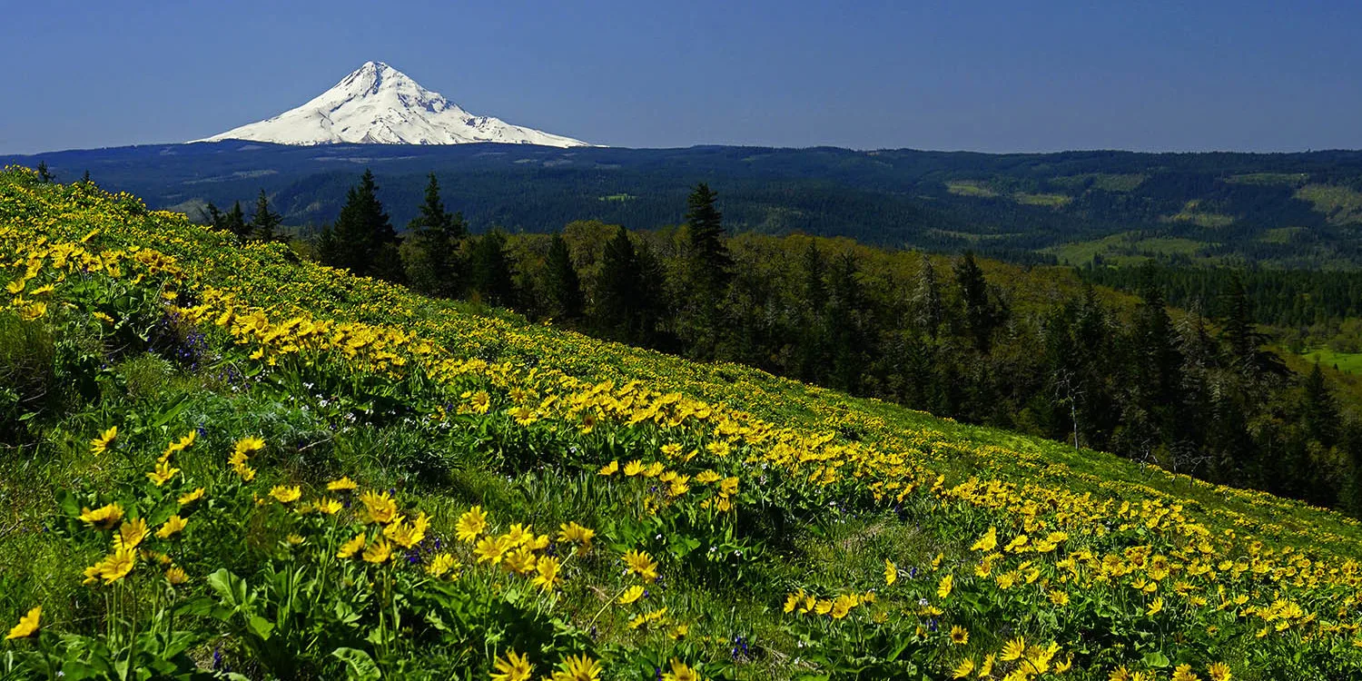

Easy

The Dalles Riverfront Trail

6.5 miles • 200 feet •

Springtime view of balsamroot and Mt. Hood from the McCall trail. Photo by Ann Hubard.
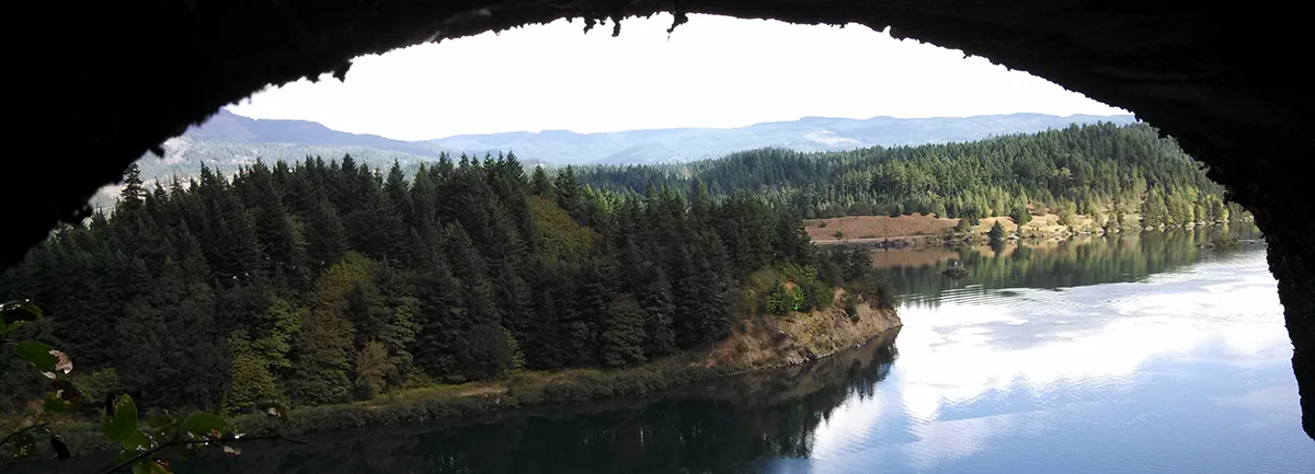

Moderate

Tom McCall Point

3 miles • 1,030 feet •

Eastern end of Bradford Island, viewed from Toothrock Trail. Photo by Dawn Harrison.
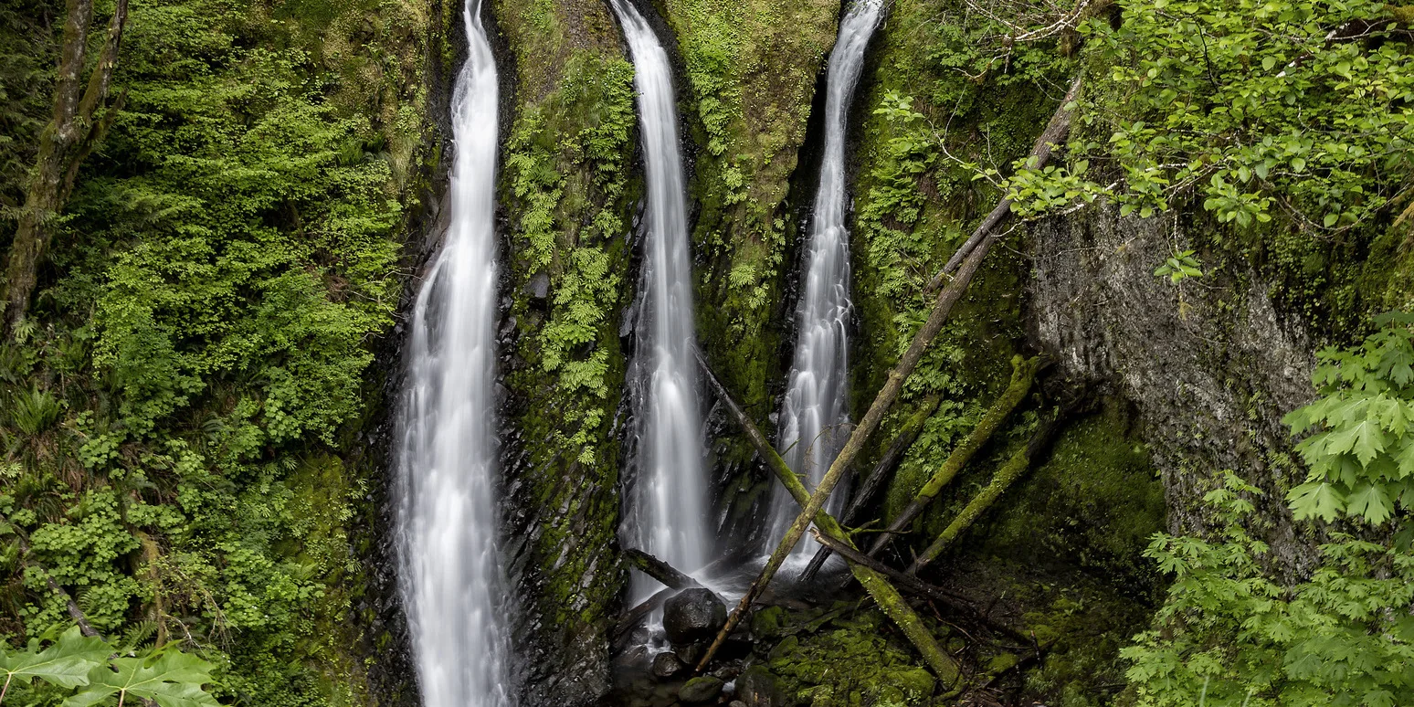

Moderate

Toothrock

4 miles • 200 feet •

Triple Falls. Photo by Micheal Drewry.
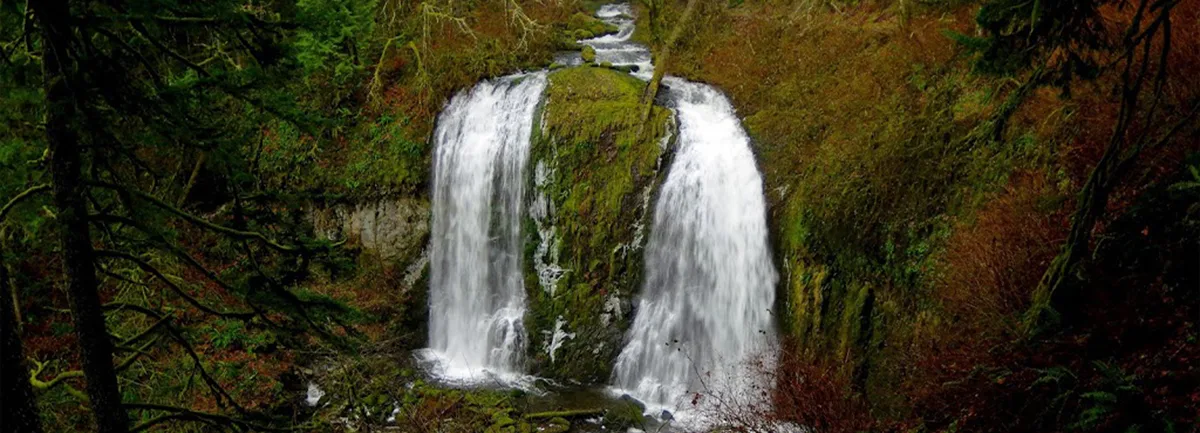

Moderate

Triple Falls

3.2 miles • 1,142 feet •

Upper McCord Falls. Photo by Joe Urmos.
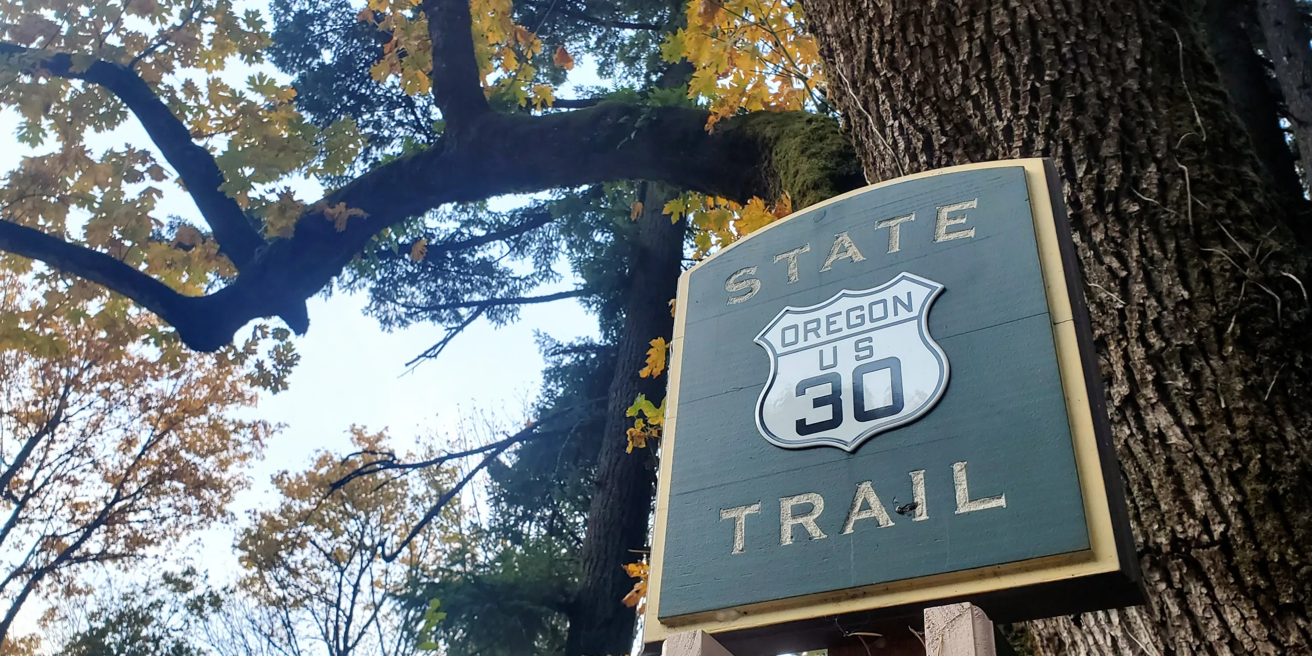

Moderate

Upper McCord Creek Falls

3.2 miles • 600 feet •

Marker sign near Cabin Creek Falls, along the Historic Columbia River Highway State Trail. Photo by Caitlin Muret.
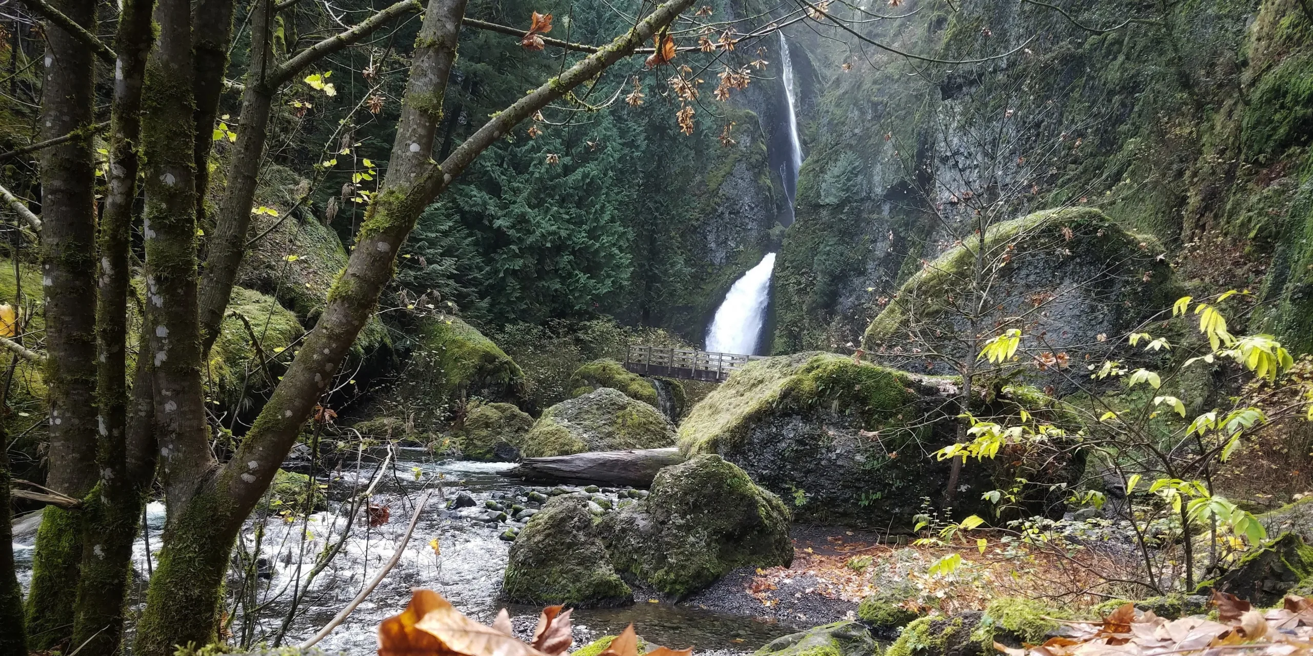
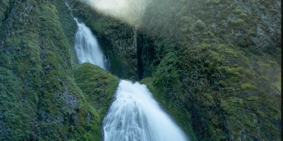
Autumn scene at Wahclella Falls. Photo by Trevor Leahy.

Moderate

Wahclella Falls Loop

2.4 miles • 300 feet •

Wahkeena Falls. Photo by Oliver Dalton.

Easy

Wahkeena Falls

2.8 miles • 850 feet •

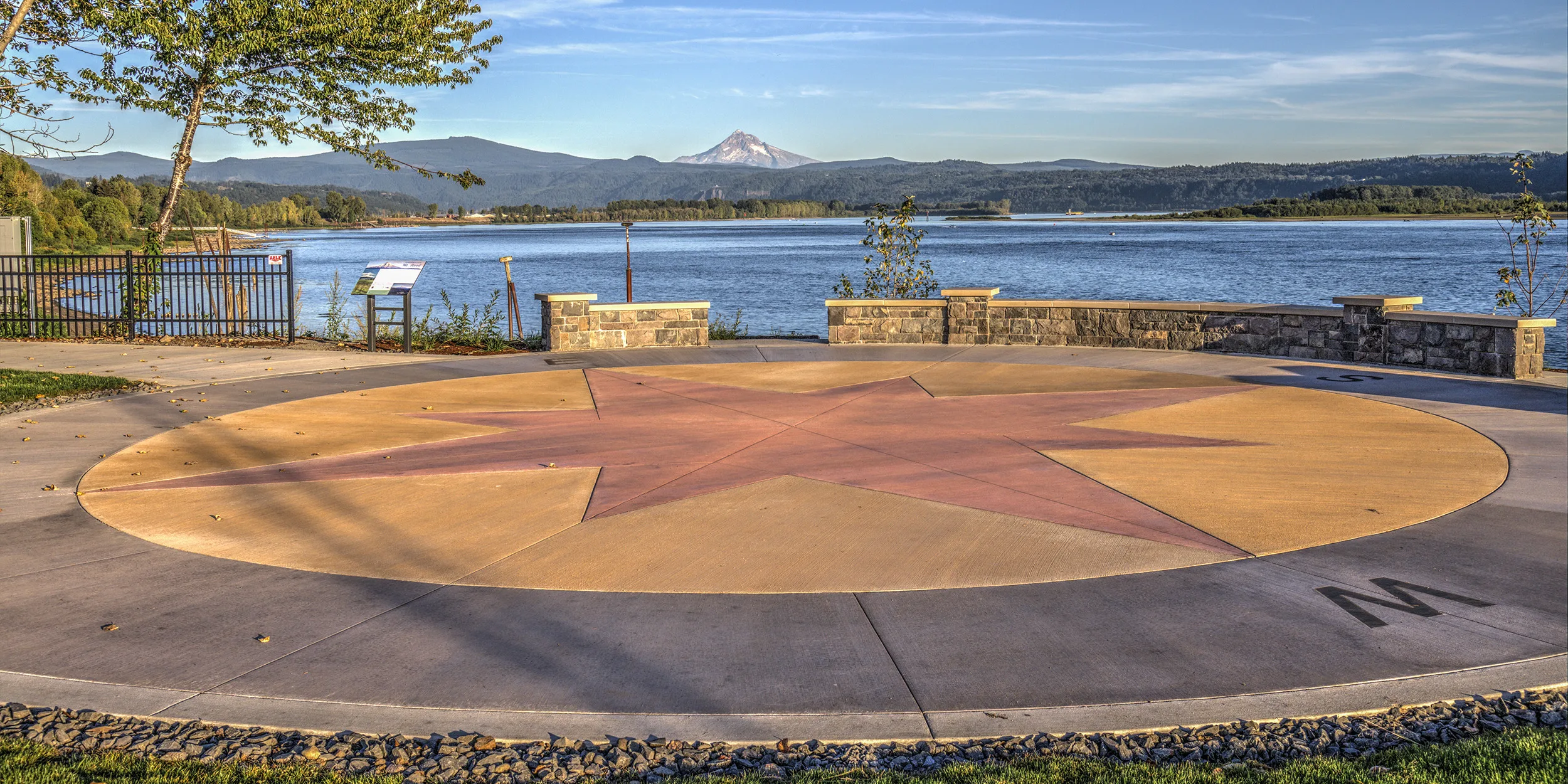
Fantastic views of Mount Hood and the Columbia River can be enjoyed all along the universal-access Washougal Waterfront Trail. Photo by Mitch Hammontree.
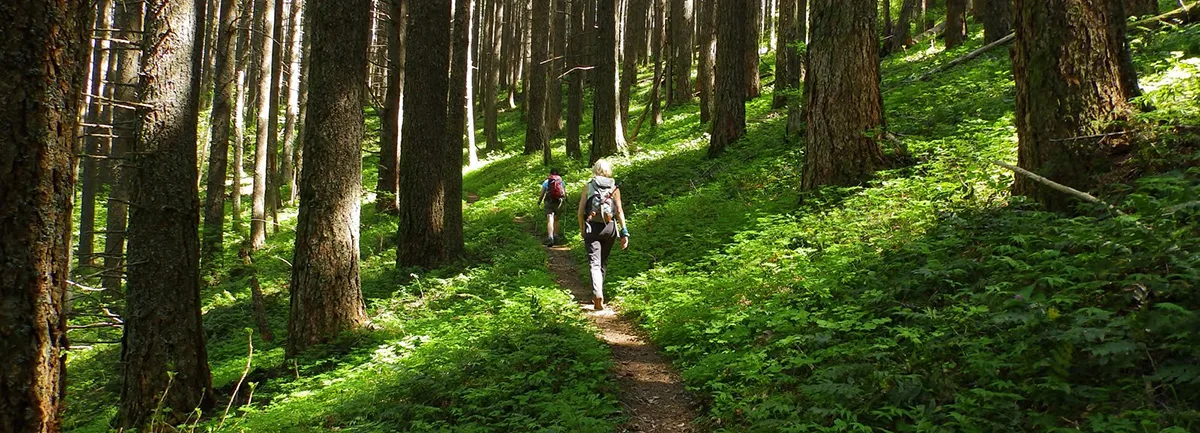
On the Wauna Point trail. Photo by Debbie Asakawa.

Strenuous

Wauna Point

9.4 miles • 3,380 feet •

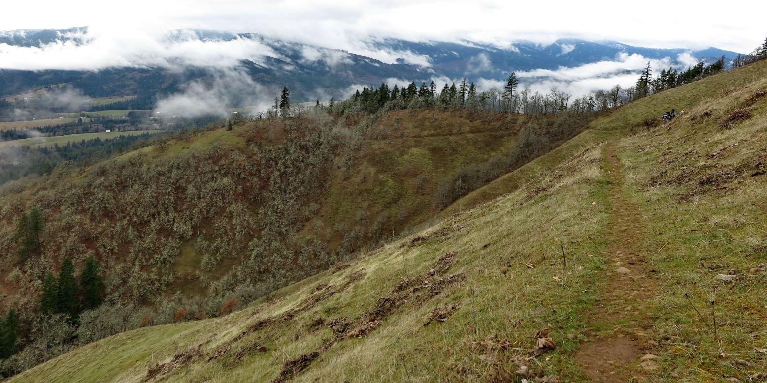
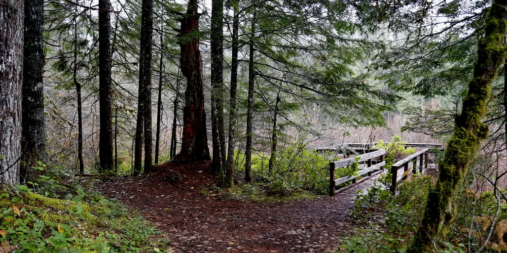
Weldon Wagon trail. Photo by Micheal Drewry.

Moderate

Weldon Wagon Trail

4.6 miles • 1,300 feet •

Whistle Punk Interpretive Loop. Photo by Micheal Drewry.