On the Trail
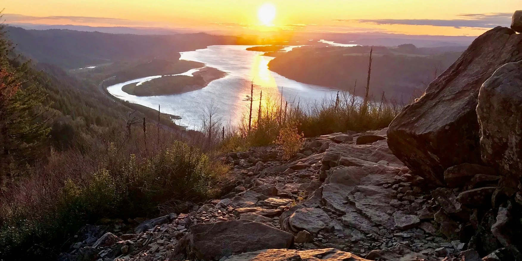
This 4.8-mile, out-and-back hike gains 1,500 feet in elevation as it climbs through trees and over boulders to Angel’s Rest, an exposed blufftop with panoramic Gorge views. Moderately difficult and close to Portland, the trail receives heavy use year-round, especially on weekends.
Fire Impacts
This trail was impacted by the 2017 Eagle Creek fire. We encourage hikers to be extra alert when hiking in burned areas in the Gorge. Falling trees, landslides, and debris flows are more likely in the burned areas because of unstable soil due to less vegetation to hold it in place.
Permits & Pets
The site is managed by the U.S. Forest Service and Oregon State Parks. No parking or trailhead passes are required. Dogs must be leashed at all times.
Trail Notes
- From the trailhead, follow the Angel’s Rest Trail (Trail 415). Pass Coopey Falls and ascend through the Coopey Creek drainage before climbing further to Angel’s Rest. From it are spectacular, 270-degree views, including Washington-side landmarks such as Beacon Rock and Silver Star Mountain.
- Return via the same route.
- Please always stay on the trail and clean your boots before and after you hike. Hikers and their dogs are common vectors for spreading invasive seeds.
- Restrooms are available at Bridal Veil State Park.
Post-Hike Explorations
After this famous Gorge hike, have a meal at another icon: one of the historic roadhouse inns or restaurants near the Sandy River. Follow the Historic Columbia River Highway west from the trailhead for 13 scenic miles to the Sandy River. From there, drive along the river’s east bank, where you’ll find the historic inns’ welcoming neon signs. A few miles further, cross the Sandy on a historic old bridge into Troutdale, where restaurants, galleries and shops populate its main street, the Historic Columbia River Highway.
Directions & Travel Tips
Eastbound I-84: Take exit 28/Bridal Veil. Go uphill on Bridal Veil Road. At the stop sign, turn right onto the Historic Columbia River Highway. The trailhead and parking lot are immediately on the right.
Westbound I-84: Take exit 35/Ainsworth State Park. Follow the Historic Columbia River Highway 7.1 miles to the trailhead and parking area on the right.