On the Trail
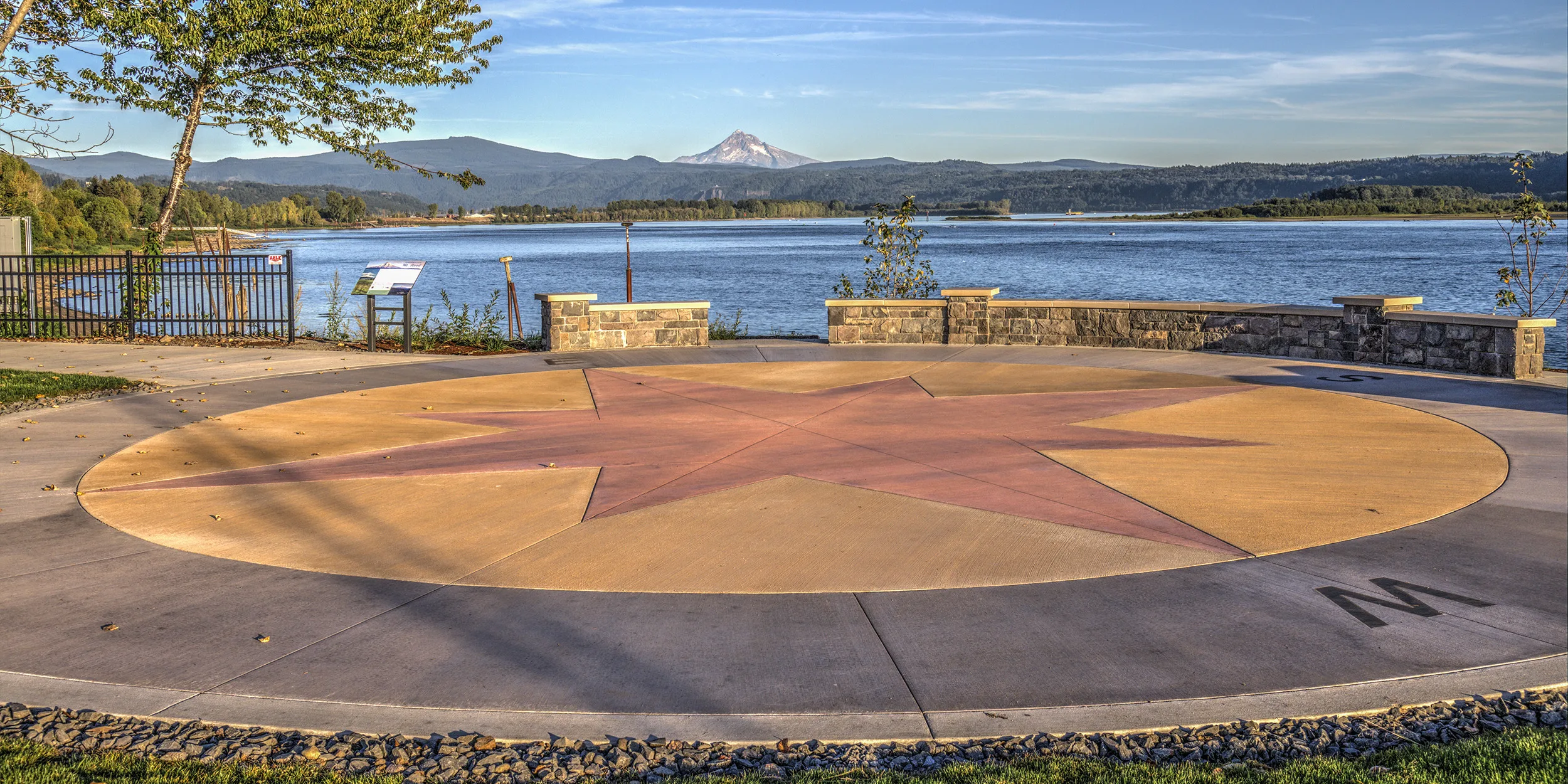
This flat, 2-mile walk along the Columbia River is a new trail link in the evolving Gorge Towns to Trails initiative—an urban , wilderness trail network throughout the Gorge. The paved, ADA (Americans with Disabilities Act)-accessible flat walk offers spectacular Columbia River views.
Permits & Pets
The trail is managed by the Port of Camas-Washougal. No permits are required. Dogs must be on leash.
Trail Notes
- From the parking area, walk east on the trail. This land used to be part of the Hambleton Brothers Lumber Co. sawmill, which ceased operations in 2010. Learn about the revitalization plans for this evolving riverfront property.
- Directly across the Columbia River are the wetlands of the Sandy River Delta.
- The trail ends at A Street. Turn around and retrace the route to the start.
- Please always stay on the trail and clean your boots before and after you hike. Hikers and their dogs are common vectors for spreading invasive seeds.
- Restrooms are at the trailhead.
History
Learn how this trail is significant to the Gorge Towns to Trails initiative—an effort to create a 200-mile trail loop trail network around the Gorge.
Friends of the Columbia Gorge does not track trail closures. If you are planning a hike in the Gorge, please check other sources in advance for the latest updates, including the U.S Forest Service, Ready Set GOrge, and AllTrails. Recreational activities in the Gorge can involve risk of injury, death, property damage, and other dangers. Friends does not assume responsibility for any such outcome resulting from the use of the information on our hiking web pages. Your use of these web pages is strictly at your own risk.
Post-Hike Explorations
Directly west of the trailhead is the large pleasure-craft marina operated by the Port of Camas-Washougal; a short stroll from it is a beautiful small park, the Parkersville National Historic Site.
Two Rivers Heritage Museum in Washougal is a small museum of western Gorge history, from ancient times to the logging, mining, and homesteading eras. On SR 14, drive 1 mile east and turn left at the stoplight at Washougal River Road. Almost immediately, turn right at A Street, then right at Durgan Street. The museum is on the right. Afterward, walk to lunch or dinner along Pendleton Way or Main Street.
Other Hikes at or Near This Trailhead
Directions & Travel Tips
On SR 14, take exit 14. Then, if coming from east of Washougal, take the third exit at the roundabout. At the second roundabout, take the second exit and drive straight ahead to the trailhead parking lot at Washougal Waterfront Park.
Then, if coming from west of Washougal, take the second exit at the roundabout. At the second roundabout, take the first exit and drive straight ahead to the trailhead parking lot at Washougal Waterfront Park. Restrooms are at the trailhead.


