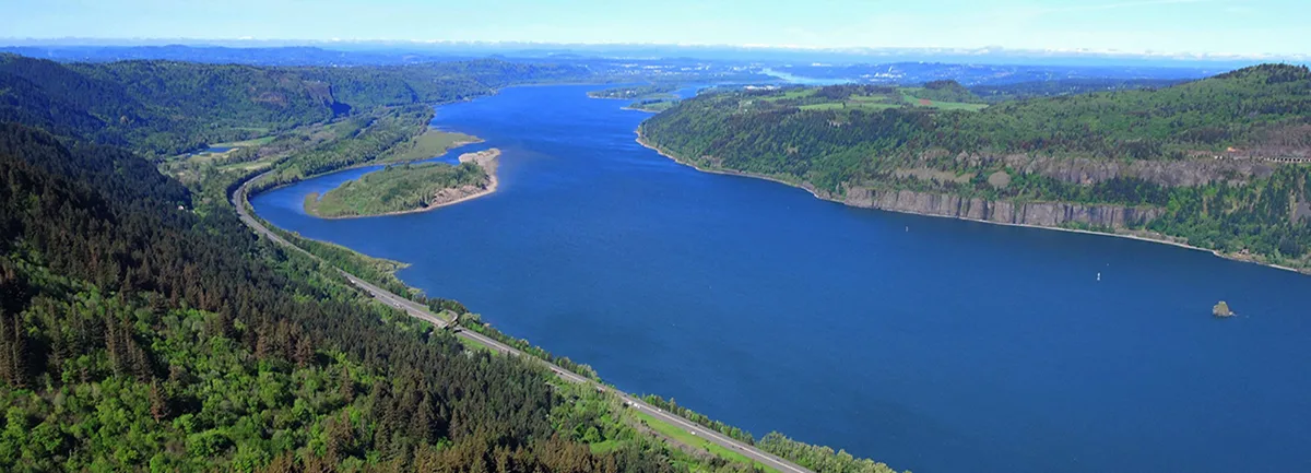
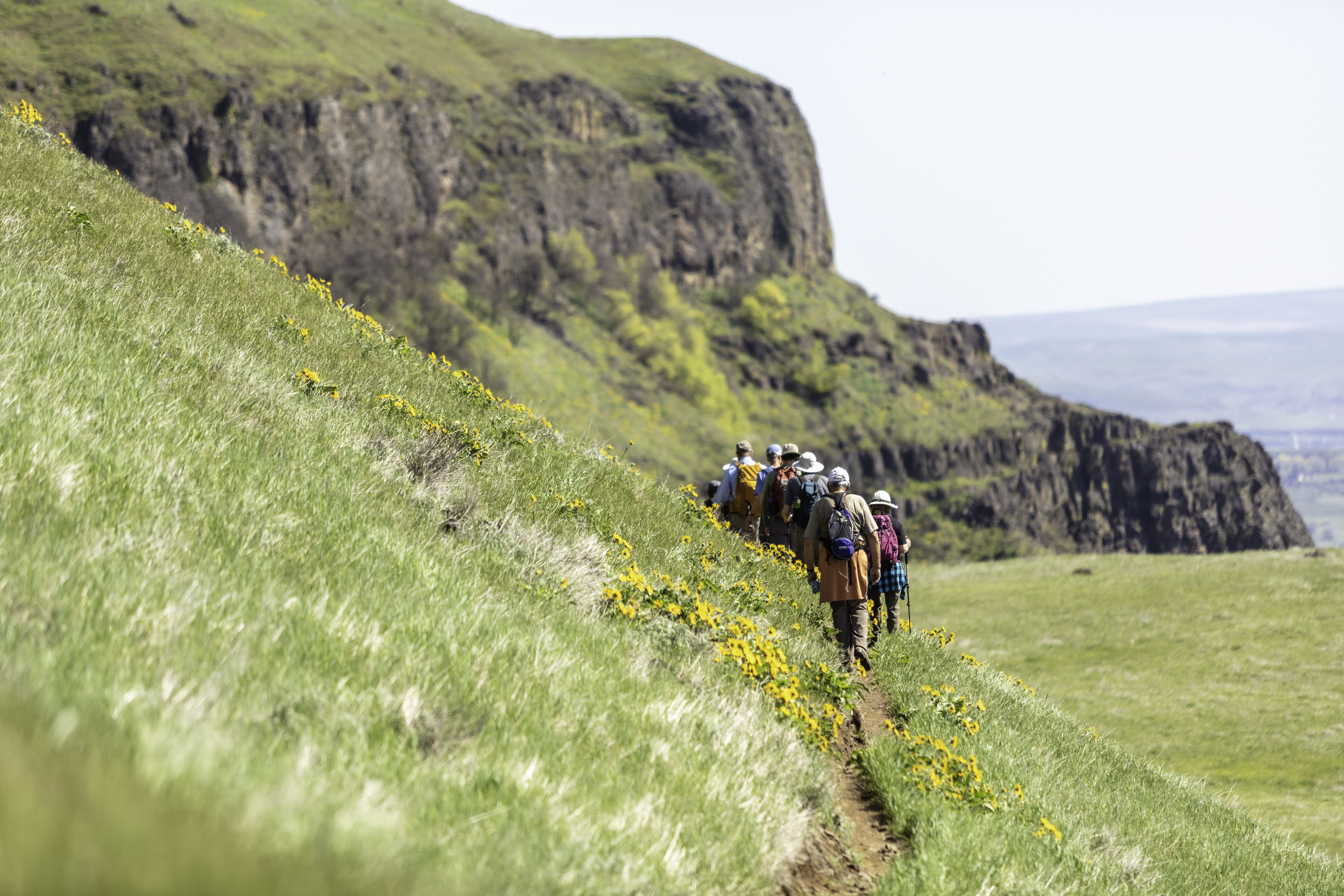
The hike to Angel’s Rest is on a winding trail (#415). It starts at about river level and quickly climbs up through trees and then over boulders before rising to a bluff above the river. From the top, you’ll get a spectacular 270 degree view of the Gorge, including many landmarks like Beacon Rock and Silver Star Mountain.
Continuing on from Angel’s Rest, you will switchback up the main trail of this hike, and in 0.25 mile come to a junction. Instead of going left on Foxglove Way, head up the hill. In about a mile, you will come to a second junction, this time with Foxglove Trail, where you will continue straight ahead. From the sign reading “Devil’s Rest,” the destination is about 0.4 mile off. Just before the summit, there is a second sign marking the west end of the Devil’s Rest Trail (#420C), an official Forest Service trail. Go east onto the Devil’s Rest Trail, and on the left come to a side trail just before a survey marker. The side trail leads to a viewpoint showing Mount St. Helens, Mount Rainer, Mount Adams, Skamania Island and the Washington side of the Columbia River.
Get back on the main trail, and head east past another viewpoint. The trail winds along the top of the ridge, then switchbacks to a junction with 2 other trails. From here, the Wahkeena Trail (#420) leads east to Multnomah Falls. In about 0.5 mile, you will reach a junction with the Angel’s Rest Trail (#415). Go left (west) on the Angel’s Rest Trail. You will pass Wahkeena Springs before climbing another 0.5 mile. When the trail levels out, cross Mist Creek, and pass the lower junction with Foxglove Trail. In 2 miles, you will return to Angel’s Rest/Foxglove Trail junction. Follow the Angel’s Rest Trail past Angel’s Rest and down the hill.
Note: Dogs must be on-leash since this is a heavy use area.
– Hike descriptions were collaboratively written with the generous support of oregonhikers.org.
Friends of the Columbia Gorge does not track trail closures. If you are planning a hike in the Gorge, please check other sources in advance for the latest updates, including the U.S Forest Service, Ready Set GOrge, and AllTrails. Recreational activities in the Gorge can involve risk of injury, death, property damage, and other dangers. Friends does not assume responsibility for any such outcome resulting from the use of the information on our hiking web pages. Your use of these web pages is strictly at your own risk.
Directions & Travel Tips
Angels Rest Trailhead: From the west, take I-84 east to Exit #28/Bridal Veil. Follow the road to the stop sign and turn right onto the Historic Columbia River Hwy. The parking lot is immediately on right. No parking pass required. From the east, take I-84 west to Exit #35/Ainsworth State Park. Follow the Historic Columbia River Highway for 7.1 miles to the Angel’s Rest Trailhead and the parking area is on your right. No parking pass required.


