On the Trail
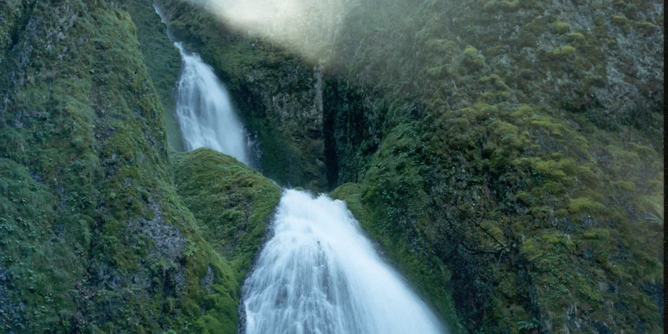
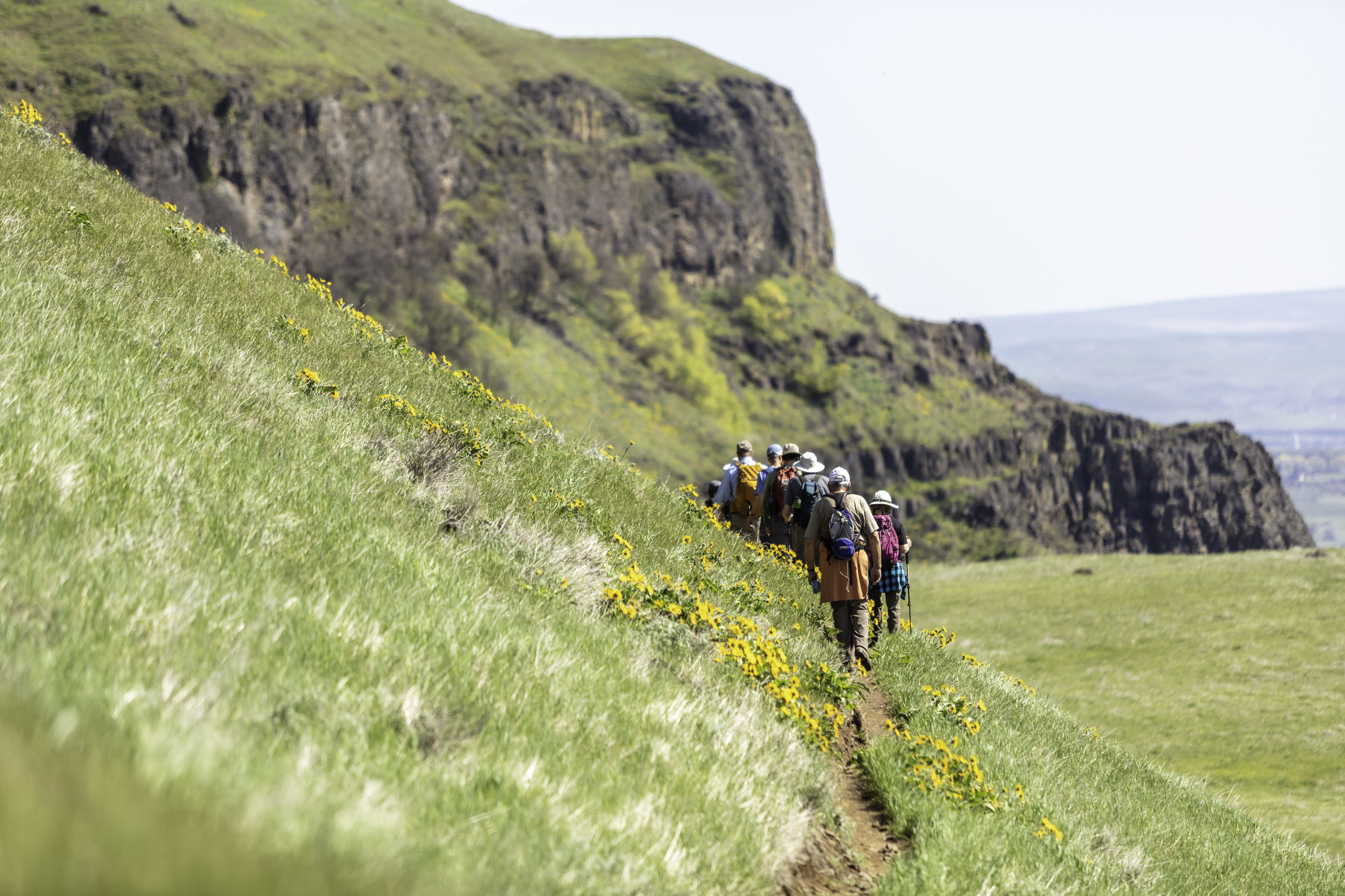
This easy, popular hike starts with a bang, at beautiful Wahkeena Falls, which drops 242 feet in two horsetail-shaped cascades. Above the falls, Wahkeena Creek runs scenically down the valley. The hike gains 850 feet and is a total of 2.8 miles, traveling out and back to Lemmons Viewpoint.
Permits & Pets
The site is administered by the U.S. Forest Service. No passes are required. Dogs may be off leash.
Trail Notes
- This trail starts on the south side of the Historic Highway. Cross a wooden bridge over Wahkeena Creek. Don’t take the trail to the left (Trail 442/Return Trail); it leads to Multnomah Falls. Instead, go right onto the Wahkeena Trail (Trail 420). It climbs in one long switchback to a beautiful stone bridge at the base of Wahkeena Falls, with year-round spray on the trail. In the winter, beware of ice that can make for treacherous walking.
- The footbridge, with its barrel arch design, was built in 1914, designed by K.P. Billner of the Oregon State Highway Department. He also designed the beautiful bridge nearby at Shepperd’s Dell.
- From the falls, hike upward on a steep section of trail, gaining about 400 feet in elevation in half a mile of many switchbacks. Views get better with each one. At the top of this climb, come to a ridge crest. Follow the pavement to Lemmons Viewpoint, an overlook above the falls, with expansive views up and down the Columbia. It’s named for Keith L. Lemmons, an Oregonian who died in 1983 fighting a Nevada wildfire.
- After enjoying the views, retrace your steps back to the start.
- Please always stay on the trail and clean your boots before and after you hike. Hikers and their dogs are common vectors for spreading invasive seeds.
- Restrooms are at the trailhead.
History
In 1915, Portland lumberman and philanthropist Simon Benson purchased a 400-acre tract, which included Wahkeena Falls, and deeded it to the city of Portland for use as a park. Subsequently, the land was divided between the U.S. Forest Service and Oregon State Parks to become Wahkeena Falls Recreation Area and Benson State Park. (The state park is north of the Historic Highway and separated from Wahkeena Falls by railroad tracks; it’s not possible to walk between the two areas.)
In the 1930s, the Forest Service developed land at Benson State Park into a day-use area as part of a Civilian Conservation Corps project. Samuel Lancaster, chief engineer of the Historic Highway, designed the trails at Wahkeena Falls in 1914.
Friends of the Columbia Gorge does not track trail closures. If you are planning a hike in the Gorge, please check other sources in advance for the latest updates, including the U.S Forest Service, Ready Set GOrge, and AllTrails. Recreational activities in the Gorge can involve risk of injury, death, property damage, and other dangers. Friends does not assume responsibility for any such outcome resulting from the use of the information on our hiking web pages. Your use of these web pages is strictly at your own risk.
Post-Hike Explorations
Avoid the traffic on the Historic Highway and hike the Return Trail 0.5 mile to Multnomah Falls. Have lunch in Multnomah Falls Lodge, or ask a ranger a question or two in the Visitor Center.
Directions & Travel Tips
Eastbound I-84: Take exit 28/Bridal Veil and drive uphill on Bridal Veil Road; at the top, turn left on the Historic Columbia River Highway and drive 2.5 miles east to the parking area at Wahkeena Falls. Westbound I-84: Take exit 35/Ainsworth and drive about 5 miles west on the Historic Highway. Restrooms are at the trailhead.


